Keith Cooke
Keith Cooke is the Director of Planning & Community Development Markets at Esri. A graduate of Auburn University, he has been a GIS professional since 1994 and has worked for planning and community development agencies at the regional and municipal level. Prior to this role, he was an account executive at Esri for 15 years working with over 100 local governments. Keith regularly collaborates with industry leaders, planners, economic developers, and technology experts to drive innovation in community development practices using GIS, and is an active member in the American Planning Association.
Posts by this author

What You Need to Know About The Esri Planning Directors Summit
The Esri Planning Directors Summit is a unique opportunity for planning leaders to learn about the role of GIS in their projects.

Park Perspective Series: The Planner’s Essential Impact on Parks and Green Spaces
With the use of GIS and a geographic approach, planners have never had an easier way to be more directly involved in park planning and design.

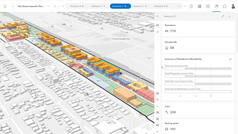
The Housing Market Index and What It Means for Planning and Community Development
The factors around America's housing crisis may make a solution seem out of reach for planners. It's not.

The Planner’s Guide to the 2024 Esri User Conference
The 2024 Esri UC is a week away and for the 1000+ attendees in planning, here is a useful guide.

The Emergence of GeoAI in Planning
Geospatial artificial intelligence (GeoAI) is emerging as a powerful tool to empower community planners.

How a Regional Council is Tackling the Housing Shortage
Regional councils and governments play a key role in understanding and modernizing local government housing policies.

Esri at the 2024 APA National Planning Conference
An overview guide for planners to see how Esri is supporting the 2024 National Planning Conference.
Announcing the Esri Planning Directors Summit
The Esri Planning Directors Summit is an opportunity for planning directors to discover how geospatial solutions are being used by planners today
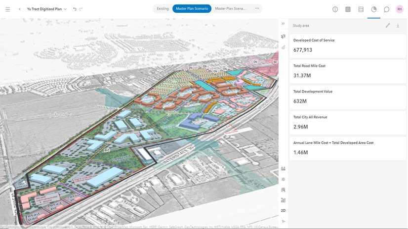
Designing a Fiscally Resilient City with ArcGIS Urban
The City of Fate, Texas is taking an innovative approach towards fiscal sustainability with their geographic approach to planning.