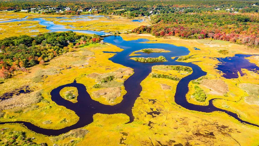
Dr. O'Neil joined Esri in 2019 as a technical consultant and member of the Arc Hydro team. Her work focused on advanced spatial analytics related to remote sensing, machine learning, and hydrology. Prior to joining Esri, Dr. O’Neil completed her Ph.D. in Civil and Environmental Engineering from the University of Virginia. Her dissertation focused on geomorphologic modeling for wetland identification, leading to the development of Arc Hydro’s Wetland Identification Model (WIM).
