Esri Young Professionals Network (YPN) is proud to feature Faces of YPN, an article series highlighting geographic information system (GIS) professionals in various stages of their careers, to share the following:
- How they use GIS technology in their careers
- What they love about GIS
- How they got their start in GIS
- Their advice to professionals entering careers in GIS
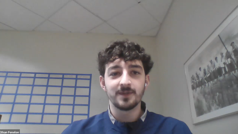
In this article, we interview Ethan Fenelon, a geospatial engineering lead at Millennium Geospatial. He provides a valuable perspective on starting a geospatial technology career just one week out of college, growing GIS skills, and the opportunities that have opened because of working in GIS.
I like GIS because location-based data analytics is much more exciting than graphs or spreadsheets. Creating maps takes a lot of creativity and is an art form in itself.
Q: How did you get your start in GIS?
I got my start in GIS in my sophomore year of college. I was switching around majors, and I liked my geography classes and met with a geography professor, and she said to look into GIS. And after that, I signed up for a GIS class and liked it. After that, my whole schedule was GIS and mapping projects.
I graduated with a degree in geography with a GIS concentration and a minor in environmental studies. I graduated in the spring of 2021 and went into my GIS career one week after I graduated.
Q: Did you apply for internships while in college?
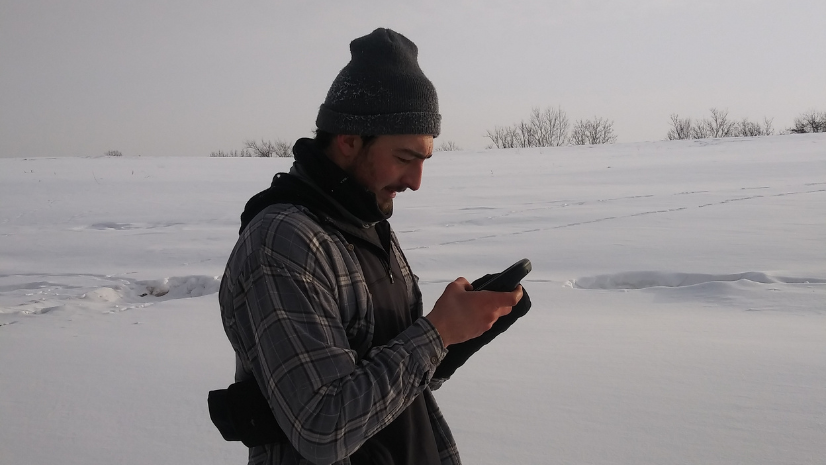
I interned for USGS [US Geological Survey] during my senior year and also participated in a capstone project doing conservation GIS at a land management property which turned into a volunteer position the semester following the project. At USGS, I mainly worked in photogrammetry and orthomosaics of the Mississippi River. Sadly, this internship was short because this was during the COVID-19 pandemic.
For the capstone project, I was doing conservation work at a retirement community, working with about 200 acres. The community members wanted to do conservation management on their lands since this community is big on sustainability. They grew most of the food they ate and donated much of the food as well.
I really enjoyed this conservation mapping project, as I worked with a retired DNR [Department of Natural Resources] warden. We mapped out different land features and management practices that are in place on the property. I collected the data and made maps of the different features that the property could later use to help with when applying for conservation grants.
My internships helped me transition to a career so quickly because it gave me real-world experience using GIS as opposed to my college courses, which focused more on research-based GIS projects. I was actually surprised to learn how much GIS can be applied to so many industries.
Q: What do you love about GIS?
I like GIS because location-based data analytics is much more exciting than graphs or spreadsheets. Creating maps takes a lot of creativity and is an art form in itself. You have so many different variables to use to get your ideas across to your viewers.
The practice of creating records through maps is very old and is something that isn’t going to go away for a very long time. The use of GIS just helps create those boring spreadsheets so that they’re more detailed and useful anyway!
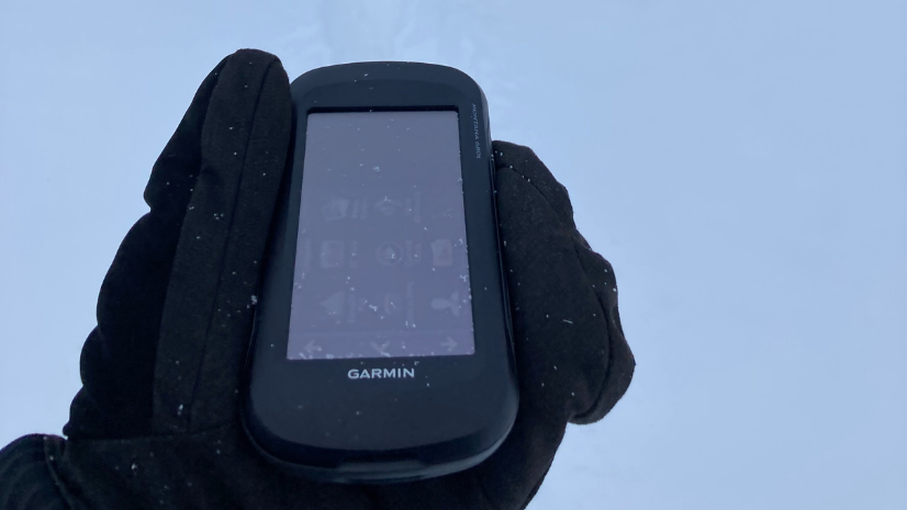
Q: How has being in a geospatial career opened doors for you?
Before I took GIS classes, I wasn’t the biggest tech person. I was more of an outdoorsy person and spent more time outside than on computers. So I didn’t expect that shift to happen. However, through my GIS courses, I was introduced to drones, and now I have my pilot’s license for drones.
I wasn’t expecting to be in the engineering industry, and now I am able to be outdoors, flying drones and incorporating geospatial technology. Now my ultimate goal is to get out and do data collection using drone technology.
Q: How do you use GIS in your current role?
I use GIS to do all the engineering for the projects I work on. I use ArcGIS Pro and we are in the middle of transitioning all of our data to Enterprise. I also use ArcGIS Dashboard to create dashboards for project tracking purposes. My clients like the versatility the dashboards offer. I use ArcGIS FieldMaps to collect data with geospatial accuracy to later help decision-making back in the office.
I use GIS for analytics purposes like creating a material list or fiber usage rate in a cable. GIS also assists with our QA/QC process, doing different types of selections make it easier to check every attribute is filled out correctly.
Q: Did you have a mentor to guide your path toward GIS?
Yes, I would say my academic and research advisor Dr. Gargi Chaudhuri from the University of Wisconsin – La Crosse has been an important mentor in my GIS path. Dr. Chaudhuri is the one who recommended I take a GIS class and I was hooked ever since.
I had many classes with Dr. Chaudhuri and was able to help her with a research project during my junior and senior years. She was someone I could talk to about what classes I should be taking and post-graduation plans I should look into.
We meet on a regular basis and has been influential in my GIS path. I apply many of the things I have learned in her classes and the rest of the GIS classes I took at UW – La Crosse in my current and past jobs/internships.
Q: What training or resources do you recommend to young pros?
I recommend doing a map competition while in college. I did one in my junior year, and I would say it really helped develop my skills because it was an independent project where you collect all the data and present your findings on a topic of choice. Doing independent projects is what will help you develop your skills.
I recommend taking advantage of Esri’s massive open online courses [MOOC]. Right now I am in the Spatial Analysis and Cartography MOOC and will be receiving a certificate upon completion. Getting a personal license through Esri would be a good idea to get started with for personal projects. The licensing is cheap and this gives you the option to create maps independently.
Q: What is your best advice for other young pros?
Some advice I have for other young pros is to be willing to learn anything new. The GIS realm is huge and always changing, so being open to constant learning is how you will stay up-to-date. Feel free to reach out to other people in the GIS industry to just learn about what they do.
The field is growing and jobs seem to be a lot more common than they were just a few years ago. The massive amount of people and opportunities make it an exciting field to watch as it grows. I love GIS because it has given me all sorts of different opportunities that I never imagined would be possible when studying geography. I love how a lot of the things I do with GIS impact so many different people.
Q: How would you like to use GIS in the future?
I really enjoy cartography-based work—specifically, the artistic side is where my passion lies. My current company is trying to expand and do other things like outdoor mapping, which I’m excited about. I would like to continue using drones too. My goal is really to focus my career on more cartography-based or land management opportunities working with drones.
Learn more about Esri Young Professionals Network and join the network.
Check out these resources for students in higher education or young professionals entering geospatial technology careers:
- Esri Community—Young Professionals Network (blogs, events, discussion)
- Esri YPN LinkedIn group
- Esri training courses
- Esri Technical Certification Program
- Esri student programs including internships and assistantships
- Esri recruiting events
