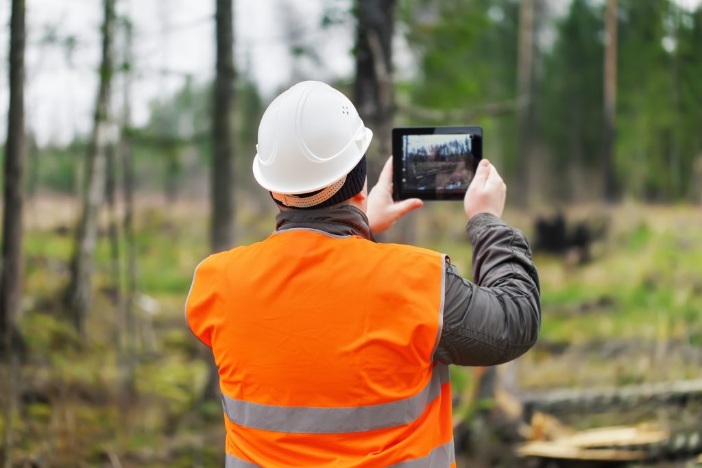
Digital transformation is exploding—changing work and even the way we order lunch on the go. Mobile tools that specifically account for place update utility arborists’ work around the globe and bring exceptional value to daily workflows.
However, the original mobile solution—the tree killer, the paper map—is still alive and well. Plentiful paper forms and information keyed into spreadsheets mean that modern geographic apps represent the low-hanging fruit for vegetation management. They improve information access, completeness, accuracy, and timeliness while updating antiquated workflows. Mobile technology at the crew level takes a cue from social media—once anyone makes changes, they are immediately visible to all. In the field, employees collect reliable data and quickly return it to the business.
Employees expect intuitive apps that work like the apps they use in their everyday life. These tools have to make their work experience much better. Simply putting dots on a map helps, but complete solutions need to do much more. They need to unearth value and provide ways to put it to work.
If you don’t have a way to operationalize your data, it’s worthless.
Capture information—understand it—share it. That’s a winning formula.
Location Matters
Today, we expect location-aware apps. We treasure our smartphones that provide efficiency and convenience. Quickly find a great restaurant near you. However, if you turn your GPS off, the apps complain. They won’t work! Nothing works right without location information—an inspiring insight.

What’s needed is to conveniently bring information together in a way that makes sense to arborists. For example, have you ever seen a utility line clearance operation without maps? I have not.
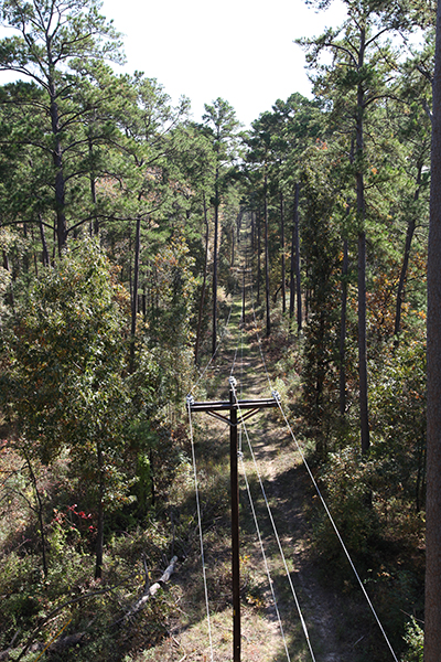
Utilities use maps—they naturally work better to provide awareness of proximity. Understanding location yields perspective to vegetation management concerns—traffic control, angry customers, danger trees, sensitive habitats, and crew locations. As a result, location is a powerful way to blend data, understand it and use it.
Seeing arborists’ work through the lens of where it happens brings things together. A modern geographic information system (GIS) moves beyond mapping to deliver location intelligence. Therefore, ArcGIS is ideal for adding business value, simplifying communication, and creating situational awareness.
Location intelligence increases efficiency promotes safety, enables customer care, and encourages sustainability—each achievement reinforced with colorful displays.
Efficiency
The opportunities to increase workflow efficiency are nearly overwhelming. We see utilities moving from blanket vegetation tactics to more targeted just-in-time approaches. They prioritize work to address their reliability and safety objectives specifically. Consequently, better timing and coordination are critical. Simply getting to and performing the right job at the right time is an obvious starting point. However, greater precision is challenging to achieve with stale manual work processes.
Apps with location intelligence add value by naturally connecting work and resources. Going further, they improve billing workflows by automatically capturing who did what and where and when they did it.
Finally, utilities rely on new technology to advance their effectiveness. Lidar and satellite imagery coupled with spatial analysis now helps users rapidly identify vegetation conflicts. The resultant insights bolster work planning. Location intelligence tightly connects modern analysis with boots-on-the-ground work management.
Safety

Ensuring employee, contractor, and public safety is job one for every utility. Unfortunately, many concerns lurk in unexpected spots. Employees need an understanding of dangerous conditions and aggressive property owners. Without specific awareness, employees often rely on local experience. Sadly, vital institutional knowledge is easily lost with staff or contractor turnover and changing assignments.
Modern location-aware apps present everything from high-risk fire zones to environmental hazards in the context of work locations. In addition, many agencies are transitioning their safety checklists and jobsite forms directly into their apps.
When workers log safety data electronically, they communicate it immediately. Visualizing essential information on real-time dashboards and generating key performance indicators (KPIs) elevates safety practices. In addition, immediate feedback from the resultant safety knowledge base rolls up to be included in group statistics while also revealing details at the crew level.
Capturing essential safety information is the critical first step. Then, understanding it with analysis helps people find hidden patterns. Finally, sharing it exposes potentially lifesaving insights for everyone who needs them—with zero paperwork.
Customer Care
Utility customers have higher expectations now than they did in the past. Modern consumer technology stimulated these expectations for the customer experience. In response, most utilities’ focus shifted from being assetcentric to customercentric. However, this move came with a realization that the customer is the utility’s most important asset.
Excellent customer care in vegetation management means no surprises and that promises are kept. Customers and property owners often make special requests. Some are one-time instructions, and some are long-standing demands.
Over time, it is far too easy to lose track of these expectations—particularly those scribbled in a faded notebook kept on a dusty dashboard. The best intentions count for nothing when overlooking a customer’s request. You risk turning an ally into an adversary if they logically conclude their request was not important enough to be honored.

ArcGIS marks customer matters at their exact place. As a result, crews avoid surprises and meet expectations by considering these facts about their location in real time. So imagine the customer’s unexpected delight when your representative greets them with full knowledge of their special instructions from the last trimming cycle!
Sustainability
Customers and utilities are increasingly concerned with sustainability. Working with vegetation is an opportunity for positive reinforcement by supporting environmentally friendly practices. The best way to organize these efforts is around the location of plant life, work activities, and community needs.
For example, it is often expensive to obtain large quantities of wood chips. Leading arborists use routing to pair their waste products with local needs, like mulch for community gardens or parks. Matching customer needs to vegetation management activities is a real winner. Furthermore, it saves disposal costs while promoting goodwill in the community.

A colleague recently told me of a southeastern US utility that matches the waste from specific plant species to the dietary needs of animals at the local zoo. For instance, pandas eat bamboo almost exclusively. Digital tracking enables the correlation between daily waste products and animals’ needs. As a result, the zoo is thrilled to take the animals’ favorite fresh feed while saving the utility’s workers a trip to the dump.
Lastly, we see a growing interest in promoting pollinator habitats. Utility arborists have a unique opportunity to take a leadership position in this effort. However, this demands accurate and user-friendly data collection tools to manage vegetation and improve habitats while monitoring invasive species. Location intelligence directly supports evaluating land uses and control methods that minimize habitat disturbance.
Technology Update
Putting location intelligence to work hinges on three ideas: capturing information, understanding what it means, and securely sharing it with those who need it. Many utility arborists already use tools based on Esri technology to perform these functions.
Three previously separate field apps—ArcGIS Collector, ArcGIS Explorer, and ArcGIS Tracker—will be retired in December 2021. Esri is phasing these out in favor of a single app called ArcGIS Field Maps. Esri launched ArcGIS Field Maps in October 2020 to encapsulate data collection, map viewing, location tracking, markups, use of smart forms, and other functions in a single interface.
Maps that are accessible from ArcGIS Collector and ArcGIS Explorer are also accessible in ArcGIS Field Maps. The new app is easy to use and deploys with a single sign-on to improve the user experience. Data from ArcGIS Field Maps readily feeds into dashboards and analysis. Therefore, information and insights are easily shared across an organization and with the public for maximum benefit.
Wrap-Up
Mobile technology apps at the crew level are quick wins for improving utility arborist workflows. The apps capture essential information. Once captured, straightforward analysis reveals productive insights to drive efficiency, safety, customer care, and sustainability. Because location is so integral to vegetation management, location intelligence unlocks clear benefits and shares them across the entire business.

