I had the privilege of presenting and moderating three great webinars recently, each promoting different perspectives of the powerful intersection between GIS and BIM. Through these sessions, we shared a range of ideas, examples and activities which make clear the immense potential of integrating GIS and BIM to improve project workflows and outcomes. Below are a few highlights of these activities.
BIM and 3D GIS Digital Records
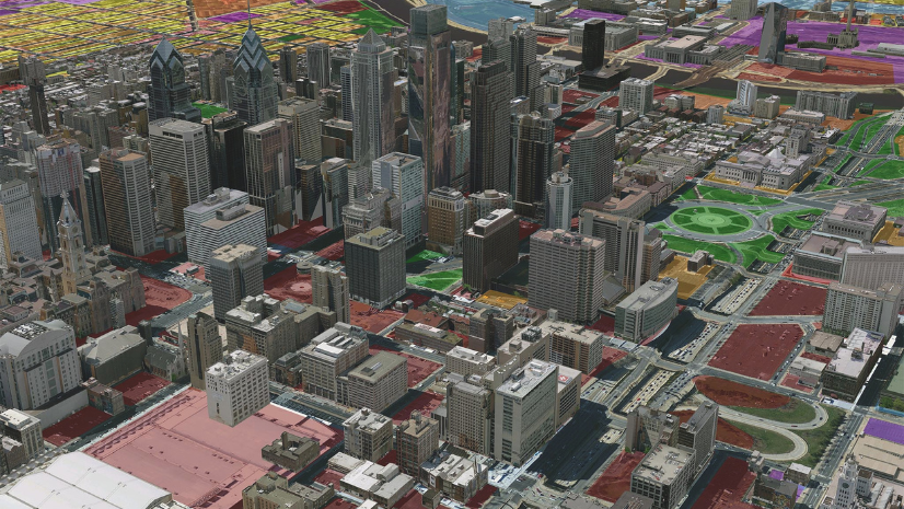
As one of the presenters (amongst a brilliant group), I shared my experience and several examples describing the relationship between BIM and GIS, showcasing their collective impact on enhancing architecture, urban design, environmental consulting, engineering services and construction management. The webinar explored how BIM supplies detailed information about built assets for AEC projects, coupled with GIS providing location-aware information in context of the built and natural environment modernizes AEC practices. Through an array of talented presenters on a wide range of AEC topics attendees witnessed how the integration of GIS and BIM reshapes the future of our built environment from the storage of documents at libraries to city-wide operations. To watch the recorded session, register here: https://www.assetmapping.events/bim-3d-gis-digital-records

ArcGIS StoryMaps in AEC
In this session organized by Esri’s ArcGIS StoryMaps team, I presented a few of my stories which I use to collaborate with AEC stakeholders, team members, and others. The benefits of StoryMaps are many, including sharing BIM-based GIS apps, adding context to images and videos, and expanding collaboration within the AEC sector. Through real-world case studies and best practices of the other presenters, and a demonstration provided by the ArcGIS StoryMaps team, we explored how StoryMaps have the potential to change the way AEC teams conduct project presentations, enabling them to craft compelling narratives. As we explored its collaborative workflows and seamless geospatial integration, attendees gained a deeper understanding of how ArcGIS StoryMaps empowers AEC firms to upgrade the impact of their work, win bids, and elevate project outcomes through enhanced visualization and collaboration. A recording of this webinar can be found here: https://www.esri.com/en-us/webinars/product/arcgis-storymaps-live/arcgis-storymaps-webinar-one

bSI & OGC Roadmap Webinar
In my role as a moderator, I facilitated discussions on the collaborative roadmap crafted by buildingSMART International (bSI) and the Open Geospatial Consortium (OGC), with a focus on openBIM and open GIS standards. Guiding industry stakeholders through the roadmap, we emphasized the importance of open data standards in driving interoperability and innovation. Aligning around agile development principles, we explored how these two organizations are beginning with an inventory of use-cases which will improve AEC workflows, foster collaboration, and unlock the full potential of GIS and BIM integration across infrastructure domains and life cycles. All buildingSMART webinars are available here: https://www.buildingsmart.org/resources/webinars/

Through my involvement as a presenter and moderator in these three webinars, I witnessed firsthand the progress and potential of integrating GIS and BIM in the AEC industry. From enhancing community services to fostering global collaboration and elevating project communication, the convergence of these technologies is reshaping the future of the built environment. As we continue to navigate this intersection, centered around openBIM principles and leveraging innovative tools like ArcGIS StoryMaps, I am excited to see how our efforts are driving innovation, efficiency, and sustainability in AEC projects worldwide.
For more information about Esri’s work in the AEC industry, visit www.esri.com/aec

