In some cases, emergency management organizations have to provide an investment justification for their ArcGIS license request, especially if another organization owns the larger license agreement or it is included in a grant application. Included below are a series of justifications that you may find helpful during this process.
Sample Justification Language
- The application of ArcGIS and geospatial science applies to all facets of an emergency management program. By acquiring licenses, our organization will be able to collect, analyze, and disseminate real-time data and information that will aid in all of our operations—from preparedness to response, recovery, mitigation, and community resilience.
- The application of geospatial sciences can be applied to any threat or hazard. From hurricanes and tornadoes to acts of terrorism, gun violence, the opioid epidemic, houselessness, and climate change. The technology can be used to assess our risk of these threats, which helps to prioritize mitigation projects to buy down our risk.
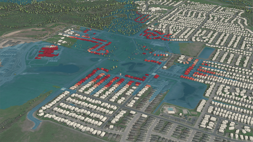
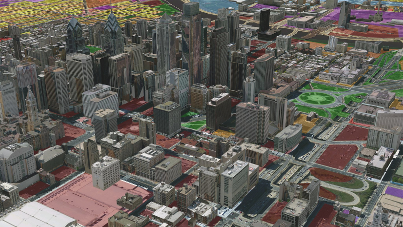
- ArcGIS allows users to create real-time, interactive maps that showcase critical infrastructure, assets, threats and hazards, indoor floorplans, population trends, census information, floodplains, and more. The geographic representation of data is critical for our response and readiness posture, as it helps to inform our operations in the Emergency Operations Center and in the field. Observing data spatially and relationally allows us to have greater situational awareness of the whole community so we can respond faster.
- A significant role of emergency management is situational awareness and information sharing. ArcGIS provides emergency managers with the ability to take geospatial data and convert it into a situational awareness dashboard—which can be used in the Emergency Operations Center and on mobile devices. These dashboards allow for the visual display of information that we can share with executive leadership, political leadership, and operations personnel—simultaneously—in an easy-to-use format.
- Disaster logistics is a primary responsibility of emergency management organizations. Data management, the geospatial display of information, and tracking the real-time movement of goods and services can be managed and visualized through the use of ArcGIS. This capability will help us improve our service delivery model as an organization and jurisdiction.
- ArcGIS and geospatial sciences are used for a myriad of data analytics, trend analyses, and predictive analytics. Through managing data in the ArcGIS platform, our organization is able to monitor trends in recurring threats and hazards over a period of time and analyze that information for the future. As emergency managers, we are concerned with consequence management and the cascading impacts of all threats and hazards. Through data analytics and predictive analytics, we can forecast which sectors or services will be impacted by an incident and posture our resources ahead of time to improve our response and recovery efforts.
Any questions? Connect with your Esri Account Manager or email emergencymanagement@esri.com to get a response from our Emergency Management team at Esri.
Need assistance during an active event? Please submit a request at Disaster Request Assistance.


