Welcome to the first article in our series, Exploring the Role of GIS in Homeland Security. Over the coming weeks, we’ll examine how geographic information system (GIS) technology helps security professionals tackle critical challenges, including threat detection, maritime security, critical event management, and more.
We begin with border security—a cornerstone of national safety. Effective management requires balancing protection requirements with the smooth flow of goods and people. GIS enhances situational awareness, supports predictive analysis, and improves coordination across agencies. From monitoring rugged terrain to managing complex logistics, GIS delivers insights that drive informed decisions and proactive responses.
By operationalizing data, GIS transforms raw information into actionable intelligence, enabling teams to identify patterns, predict vulnerabilities, and respond swiftly. This approach also optimizes resource allocation—not just distributing assets but strategically deploying personnel, technology, and infrastructure precisely where they can make the most significant impact. In doing so, GIS empowers border security teams to address challenges with agility, precision, and confidence.

Here’s How GIS Assists Agencies Tasked with Border Security:
Mapping and Tracking
GIS enables border security agencies to map and track historical and real-time incidents, such as officer locations, illegal crossings, vehicle movements, and suspicious activities. GIS provides a dynamic operational view of the border landscape by integrating data from surveillance cameras, drones, and ground sensors. This capability supports efficient monitoring of large areas, visualizes incidents as they occur, and identifies patterns indicative of coordinated illegal activities. For example, GIS combines data from drones, sensors, and patrol GPS to track smuggling vehicles in real time, guiding the nearest team to intercept the convoy at a critical geographic choke point.
Identifying Hotspots
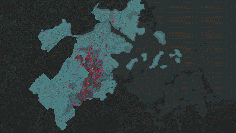
GIS enhances border security by analyzing patterns in data, such as apprehension locations and historical incident reports, to pinpoint areas where illegal activity is highly concentrated. This analysis identifies trends and vulnerabilities within high-risk zones, providing critical insights into border incursions. By focusing enforcement on these hot spots, GIS empowers agencies to deploy targeted patrols, prioritize monitoring, and allocate resources to areas of greatest need, effectively disrupting the routes and methods of organized criminal networks. For example, in a desert border region, GIS analyzes historical apprehension data, uncovering a hot spot near an isolated trail used frequently for crossings. This enables agencies to focus patrols and surveillance on the area, significantly reducing illegal activity and conserving time and resources.
Route Analysis
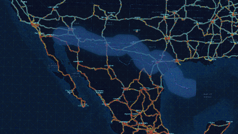
GIS enhances border security by analyzing terrain, infrastructure, and historical data to predict and intercept smuggling routes. By evaluating features such as mountain passes, waterways, and road networks, GIS identifies high-risk paths for illegal activities. This enables agencies to strategically position resources, anticipate shifts in smuggling operations, and adapt to changing enforcement needs. For example, GIS analyzes terrain, proximity to roads, and historical activity to pinpoint an unmonitored canyon as a likely smuggling route. Armed with this insight, agencies deploy temporary checkpoints and surveillance, successfully intercepting a convoy transporting contraband.
Sensor Integration and Real-Time Fusion
GIS integrates diverse data sources, including surveillance cameras, drones, motion detectors, CAD-911 systems, license plate readers (LPRs), radar feeds, and near real-time satellite imagery, to create a comprehensive view of border activity. This data fusion enhances situational awareness with location-specific alerts and anomaly detection, providing actionable insights for security teams. By incorporating contextual layers such as weather conditions and terrain data, GIS enables precise, informed responses to emerging threats. For instance, GIS combines data from multiple agencies, including motion sensors from border patrol, radar feeds from the military, LPRs from local law enforcement, and near real-time satellite imagery from the National Geospatial-Intelligence Agency (NGA). This fusion reveals a hidden pattern of vehicles repeatedly stopping near an abandoned warehouse close to the border, uncovering a smuggling operation and facilitating a coordinated multiagency response.
Collaboration and Intelligence Sharing
GIS enhances collaboration by providing a centralized platform integrating data from multiple sources, giving stakeholders a shared operational picture. Integration with platforms like Microsoft Teams enables users to access interactive maps, real-time data, and communication tools in one place. This streamlines decision-making by allowing security teams to visualize incidents, share updates, and coordinate resources efficiently. For example, GIS integrates with Microsoft Teams to allow multiple agencies to view real-time maps of sensor alerts, cargo inspection logs, and officer locations during a cross-border operation. Border patrol, local law enforcement, and federal agencies use the shared platform to exchange updates, monitor activities, and hold video conferences to align strategies. This collaboration facilitates rapid decisions, optimizes resource allocation, and leads to the successful interception of a narcotics operation spanning multiple jurisdictions.
Visualizing Data
GIS simplifies complex border security data into clear, actionable visualizations. Interactive maps, 3D terrain models, digital twins, and real-time dashboards offer comprehensive views of border activity. These tools help agencies monitor events, track resource deployments, and identify vulnerabilities. Visualizations also support scenario planning, enabling teams to refine strategies and responses quickly. For example, GIS uses 3D digital terrain models and historical smuggling data to analyze a mountainous border region. While most apprehensions occur along well-known valleys, the analysis uncovers an optimal route through a lesser-known ridgeline with no prior apprehension data. This reveals a pathway likely being exploited to evade detection. Border agents refocus their efforts on this area, deploying patrols and surveillance, resulting in the successful interception of a human trafficking operation that had previously gone unnoticed.
Threat Escalation and Incident Triage
GIS streamlines threat escalation and incident triage by categorizing threats based on severity, location, and impact, ensuring high-priority incidents are addressed promptly. Automated alerts enable rapid responses, while contextual data, such as proximity to critical infrastructure, helps prioritize risks effectively. GIS also tracks ongoing threats and records actions taken, enabling agencies to evaluate incident status and refine responses. For example, GIS flags unauthorized movement near a major power station as a high-priority threat due to its proximity to critical infrastructure. Automated alerts are sent to nearby border patrol units, while dashboards provide real-time updates on the incident’s status, ensuring a swift and effective response.
Establishing Shared Awareness
GIS is a critical tool for command center operations, enabling the creation of a common operational picture (COP) that integrates unlimited sources of information into a unified platform. This shared view combines real-time data streams, historical patterns, satellite imagery, weather forecasts, terrain analysis, infrastructure maps, sensor alerts, and other vital inputs. By consolidating these diverse data sources, GIS ensures all agencies can access consistent, up-to-date situational awareness, enabling informed decisions, adaptive strategies, and highly coordinated responses.
Learn more
To learn more about GIS for homeland security, visit our solutions page or download our ebook.


