Our second article in the Exploring the Role of GIS in Homeland Security series focuses on real-time threat management—a critical capability for protecting people and infrastructure in dynamic, high-stakes situations. Homeland security operations demand rapid responses to evolving threats, whether natural disasters, criminal activities, or public safety incidents. GIS plays a transformative role by integrating real-time data, sensor feeds, and spatial analysis into a centralized operational picture.
This article explores how GIS empowers security teams to geofence critical assets, map incidents in real time, and foster interagency collaboration—enhancing situational awareness and supporting decisive action during crises. Tools like ArcGIS Velocity and ArcGIS GeoEvent Server further strengthen this capability by fusing disparate data streams, enabling advanced sensor integration, and delivering actionable intelligence—all within a unified operational framework.
By combining spatial analysis with real-time threat detection and monitoring, GIS reduces response times, improves decision-making, and ensures security teams can act swiftly and effectively. Within the Homeland Security Enterprise (HSE), GIS serves as an indispensable tool for managing real-time threats and safeguarding communities.

Here’s How GIS Supports Real-Time Threat Management in Homeland Security Operations:
Data and Sensor Integration
GIS integrates data from a wide array of sensors and monitoring systems, such as CCTV cameras, alarms, Automatic Identification Systems (AIS), personnel and vehicle tracking, 911 dispatch, drones, weather feeds, and chemical or radiological detectors. These integrations deliver real-time insights into localized events, enabling immediate threat detection and response. For instance, when weather feeds indicate severe flooding near a chemical storage facility, GIS can generate a detailed risk map, helping emergency managers prioritize evacuation zones and allocate resources effectively.
Data Fusion
GIS supports advanced multi-intelligence (multi-INT) analysis by synthesizing insights from diverse data streams, including geospatial intelligence (GEOINT), open-source intelligence (OSINT), human intelligence (HUMINT), and signals intelligence (SIGINT). Rather than merely integrating data, GIS enables analysts to cross-reference and analyze these sources to uncover hidden patterns, correlations, and anomalies. For example, during a large-scale public event, GIS can fuse social media sentiment analysis (OSINT), crowd density heat maps (GEOINT), communications traffic data (SIGINT), and on-the-ground human reports (HUMINT) to identify emerging threats, predict disruptive behavior, and prioritize response efforts. This multi-INT analytical approach delivers a more nuanced understanding of complex operational environments, supporting faster and more informed decision-making.
Incident Mapping and Tracking
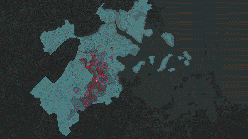
GIS provides the capability to map and track incidents in real time and maintain historical records of events. This is critical for homeland security applications, such as managing natural disaster responses, tracking terrorist activities, or monitoring cybersecurity incidents. By visualizing the nature, location, and progression of threats, agencies can better allocate resources and ensure accurate situational reporting to stakeholders. For example, to support an illegal firearms trafficking investigation, GIS can integrate law enforcement reports, gunfire detection systems, and surveillance data to map and analyze firearms incidents. If gunfire detection sensors identify repeated activity in an area, analysts can overlay crime data and gang territories to pinpoint trafficking hot spots. GIS can also link recovered firearms to prior incidents, mapping their origins to known supply chains. This helps law enforcement target high-risk areas and disrupt trafficking networks effectively.
Prioritized Monitoring
GIS enhances homeland security by enabling geofencing and the prioritized monitoring of critical assets, facilities, VIPs, and national boundaries. These virtual boundaries generate alerts based on predefined criteria, such as detecting unauthorized aircraft in restricted airspace or vessels entering protected maritime zones. For example, geofencing can monitor sensitive areas around event venues, diplomatic residences, and key infrastructure during a major international summit. If an unauthorized drone breaches the airspace near the venue, GIS-integrated systems can immediately alert security teams, enabling them to neutralize the threat and prevent disruptions or hazards.
Threat Escalation and Incident Triage
Clear escalation protocols are essential for effective threat management within homeland security. GIS platforms streamline the incident triage process by enabling the opening, updating, and closing of incidents in real time while prioritizing threats based on location, severity, and potential impact. This ensures resources are directed where they are most needed at every stage of the incident’s life cycle. For example, consider a GIS-based system monitoring a major transportation hub. When a suspicious package is reported, the incident is immediately opened in the system with initial data, such as the exact location and nature of the report. As security teams investigate, updates—like whether the package poses an actual threat—are added, refining the response strategy. Once resolved, the incident is closed, with all details recorded for postevent analysis and reporting. This structured process ensures timely and effective response and enables seamless communication across agencies and stakeholders throughout the incident’s progression.
Cross-Agency Collaboration
Effective homeland security requires seamless collaboration among federal, state, and local agencies as well as private-sector partners. GIS is a shared platform for accessing real-time threat information, situational updates, and coordinated response plans. Integrating GIS with tools like Microsoft Teams further enhances collaboration by embedding geospatial functionality into widely used, familiar platforms. For example, during a multijurisdictional operation for a national event, GIS-enabled tools within Microsoft Teams allow agencies to view live geospatial data, monitor threats, and share updates without switching platforms. This integration creates a unified operational picture, streamlines communication, and accelerates decision-making, enabling teams to collaborate in real time, share insights, annotate maps, and coordinate responses efficiently.
Learn more
To learn more about GIS for homeland security, visit our solutions page or download our ebook.


