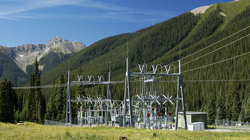
Dominion Energy serves an estimated six million natural gas and electric customers in 15 states, providing reliable, affordable, and increasingly clean energy to homes and businesses. It has a tradition of innovating to better serve its customers—from creating the first environmental department at an investor-owned electric utility to building the first 500-kV transmission line. Innovation has been a part of Dominion Energy’s culture since its founding.
Challenge
When Dominion Energy’s transmission line workers inspect and maintain assets in the field, obtaining accurate information about on-the-ground conditions and maintenance history is necessary. However, the utility’s map application was difficult to do on-site, especially with unreliable internet. Dominion Energy’s internally developed GIS mapping application posed significant limitations for mobile workers. The utility also needed more reliable information about the access road location.
“We needed to implement a more dynamic solution that our employees could easily update while they’re in the field doing climbing inspections, preventative maintenance, or emergency response work.”—Matthew Rogers, Supervisor, Electric Transmission Lines Operations
Solution
Dominion Energy implemented the EpochField Work Management solution and mobile application to equip line workers with the data to complete their work accurately and safely. The success led to a second initiative, integrating EpochField and its work order management capabilities with the utility’s SAP enterprise system.
EpochField integrates with ArcGIS Online and ArcGIS Enterprise, allowing users to capture field data using mobile devices and sync it seamlessly with centralized GIS databases. This ensures that spatial data collected in the field is accurate and readily available for decision-making. By leveraging ArcGIS Server, EpochField provides real-time updates on geographic data. This allows field teams to visualize data changes immediately and make timely adjustments during operations. Using Esri’s tools, EpochField can perform advanced spatial analysis, such as determining optimal routes, analyzing asset locations, and managing infrastructure more effectively. Esri’s mapping capabilities enhance EpochField’s ability to visualize spatial relationships within field data. Esri’s ArcGIS Runtime SDKs enable EpochField’s mobile apps to function offline, allowing mobile workers to collect data and navigate without internet connectivity. Once reconnected, data can be synced back to the Esri GIS infrastructure. ArcGIS technologies are the backbone of EpochField’s robust geospatial capabilities, ensuring organizations can efficiently manage field data with precision and agility.

EpochField checked all the must-have boxes for Dominion Energy. The intuitive, easy-to-use mobile app allows line workers to access EpochField’s GIS mapping capabilities through tablets and smartphones. They can work with the GIS mapping application online or offline to obtain accurate, up-to-date information about utility assets and access roads without concerns about internet reliability.
If mobile workers must find new access roads, they can breadcrumb them, and the information will update EpochField dynamically. Additionally, the breadcrumb feature enables them to track where they’ve been and document the best routes to reach those destinations the next time they need the data. By integrating EpochField with an eNav system, a line worker can click on any point on the map and get turn-by-turn directions to the site.
Results
Periodic developer meetings and check-ins kept everything tracking toward a successful completion on a 10-month timeline. To facilitate a smooth transition, Epoch conducted on-site train-the-trainer sessions for four office-based users, who then trained the transmission line workers. Epoch Solutions Group has transformed transmission line inspection and maintenance at Dominion Energy, ensuring the organization can provide reliable power to millions of customers in their service area.
Partner
Epoch Solutions Group led the implementation of EpochField Work Management, EpochField Mobile, EpochField Workflow Builder, and EpochField Administrator.
Epoch Solutions Group is a leading provider of mobile workforce management software for utilities. Its unique EpochField platform is a single application for all field workflows coupled with geospatially enabled back-office scheduling, work type authoring, and work order creation. Headquartered in Westminster, Colorado, and founded in 2006, Epoch Solutions Group has over 30,000 active users and 10 million customers served. As an Esri partner, the company has received prestigious awards like the Esri IMGIS Award. It works with other partners, such as Oracle and SAP, to ensure customers can integrate with existing back-office systems.
Project Team
The project team consisted of Nathan Anderson, group project lead at Epoch Solutions; Cinzia Springer, Dominion Energy project lead, supervisor of GIS services, and senior software consultant; and Matthew Rogers, Dominion Energy project lead and supervisor of electric transmission line operations.
“The in-person support before rollout was especially nice. From a project management standpoint, everything just fell into place. The response to the EpochField rollout has been very positive. Our line workers like the fact that the EpochField application is in their pocket and available on their phones. They also appreciate that they can provide updated field information to GIS, which reviews it for accuracy and pushes it out via EpochField.”—Matthew Rogers, Supervisor, Electric Transmission Lines Operations.


