Situated in picturesque southwestern Manitoba, the city of Brandon stands as the region’s most vibrant and historically rich community. As the province’s second-largest city, Brandon offers a distinctive fusion of urban conveniences and the welcoming ambiance of small-town community, making it a magnet for both residents and visitors. The city has been growing as its natural beauty, warm community, and rich culture continue to attract people.
The City of Brandon has been dedicated to providing sufficient safe and clean water to residents since 1893. The city currently has a population of around 55,000 and maintains a service area of about 80 square kilometers. The city also maintains water and wastewater treatment facilities, making continuous upgrades to improve system quality and reliability. The city has used geographic information system (GIS) technology for about 30 years to keep track of city-owned infrastructure and other assets, including the water distribution system. The City of Brandon has implemented ArcGIS Utility Network to manage the water network. GIS data is fed into web mapping applications and an asset management system.

The Challenge
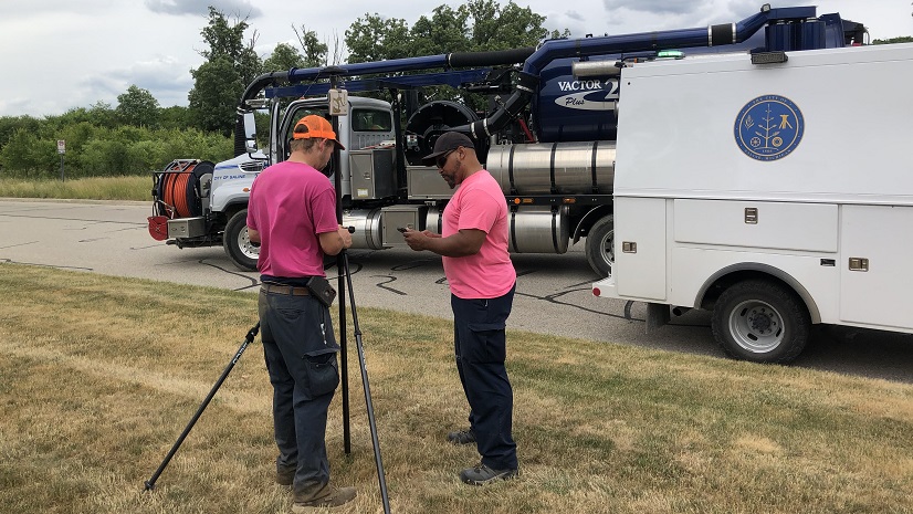
The City of Brandon needed to improve its communications for both planned and unplanned water outages and better enable the public to act accordingly. Historically, residents had only been notified and kept up-to-date on issues via television, radio, social media, and the city’s website. It was extremely difficult for the city to communicate directly with the residents affected by specific outages.
The city needed a water network tracing and outage control solution to streamline water outage operations. The solution needed to be lightweight and flexible and built on the Esri Utility Network data model. The solution had to allow staff to quickly perform network tracing operations—both in the office and in the field—to identify the location of planned and unplanned water outages and reduce response time. The solution also needed to support the notification process to inform affected customers about upcoming planned water outages.
Additionally, the city wanted the solution to support multiple versions: a lightweight, simple-to-use mobile version for use in the field, and a more comprehensive back-end version for the office. As a small organization with limited resources, the solution also needed to be easily managed by a small team.
The Partner
VertiGIS is an Esri partner that provides off-the-shelf products as well as services ranging from project management to development to ArcGIS implementation. VertiGIS empowers utility customers of all sizes to do their work more effectively and efficiently, including the City of Brandon, which recently implemented the company’s water network tracing and outage control solution.

The Solution
The water network tracing and outage control solution delivered to the City of Brandon included all the functionality staff desired:
- A GIS-based web application allows staff to easily trace the water network and identify areas where outages need to occur or are already occurring.
- A valve closure trace feature enables staff to identify which valves need to be closed given a starting location. This is used when a leak or other issue is detected and the network needs to be quickly isolated by closing off the correct valves. The system automatically updates the status of the now-closed valves in ArcGIS Utility Network, ensuring consistent data across the network.
- An outage control app allows staff to holistically manage water outages and follow city main break procedures, including asset management work order integration.
- A notification system quickly identifies customers affected by an outage and generates contact information and mailing labels to notify them of service disruptions.
- An intuitive user interface makes it easy for staff to visualize and interpret all water network assets and perform tasks quickly. It can be used both in the office and in the field and is platform agnostic across device types.

The Results
The implementation of VertiGIS software has improved the City of Brandon’s water distribution network management. The outage control app significantly improves staff’s ability to manage water outages and notify affected customers, resulting in happier customers and fewer complaints.
City staff also benefit from increased efficiency and job satisfaction, as they now have an easier time performing network trace operations and ordering outages. They are able to make more informed decisions about the water network and take action more quickly.
In the future, the city will implement additional functionality as new needs arise, including seamless integration with asset management or other enterprise systems.
“We’re excited to work with VertiGIS as we continue to optimize our utility network. By adding powerful network tracing and valve closure workflows to our GIS, we can simplify operations and provide even better service for our customers.” – Jamie Hart, GISP, Manager of Municipal Assets, Development Services Division/Engineering Department, City of Brandon
Stay Connected with Esri’s Water Team
ArcGIS is an extensive information system that enables modernization of workflows with easy-to-use applications for the field and office. Strengthen your organization with smart water solutions that will increase efficiency and provide insight for decision-makers. Visit the Esri Water Utilities web site for more information.
Join the Water Utilities Community
Follow #EsriWater on social media: X | LinkedIn
Subscribe to the Water Industry newsletter “Esri News for Water Utilities and Water Resources“
About the author