Geographic information system (GIS) technology is revolutionizing how homeland security organizations enhance safety, resilience, and operational effectiveness in a rapidly evolving global threat landscape. By enabling real-time threat management, improving situational awareness, and fostering cross-agency collaboration, GIS is transforming how security operations are planned, executed, and enhanced across the Homeland Security Enterprise.
To better understand the transformative power of GIS, we’re launching a multipart blog series exploring its application across key areas of the homeland security enterprise. Each installment will focus on a specific theme or pattern, presenting complex concepts as actionable insights tailored for security professionals in law enforcement, intelligence, defense, emergency management, and related fields.
What to Expect from This Series
Over the coming weeks, we will publish a series of focused blog posts explaining ArcGIS and its role in homeland security. These posts highlight how GIS empowers security organizations by operationalizing spatial data, conducting complex analysis, and providing unmatched situational awareness through cross-agency collaboration. Topics will include:
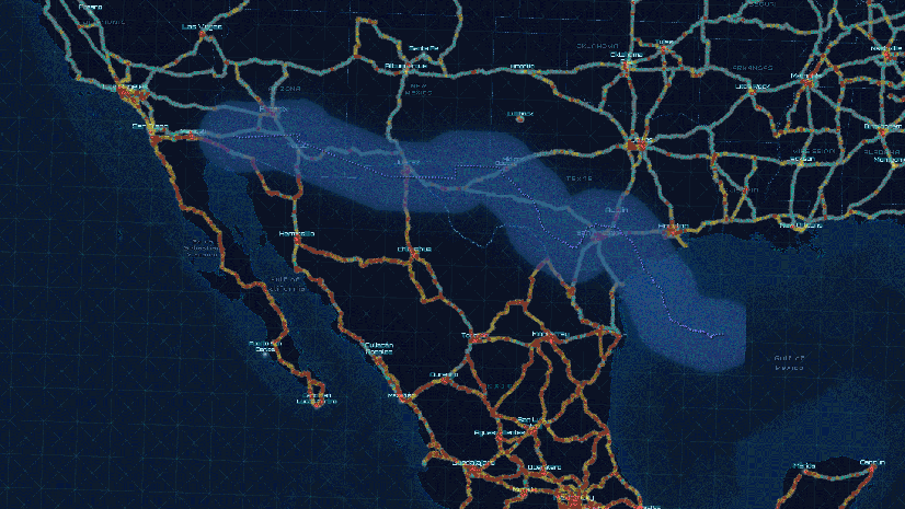
- Securing borders with GIS—Develop an understanding of geospatial technology to monitor border activity, identify hot spots, predict threats, and enhance collaboration.
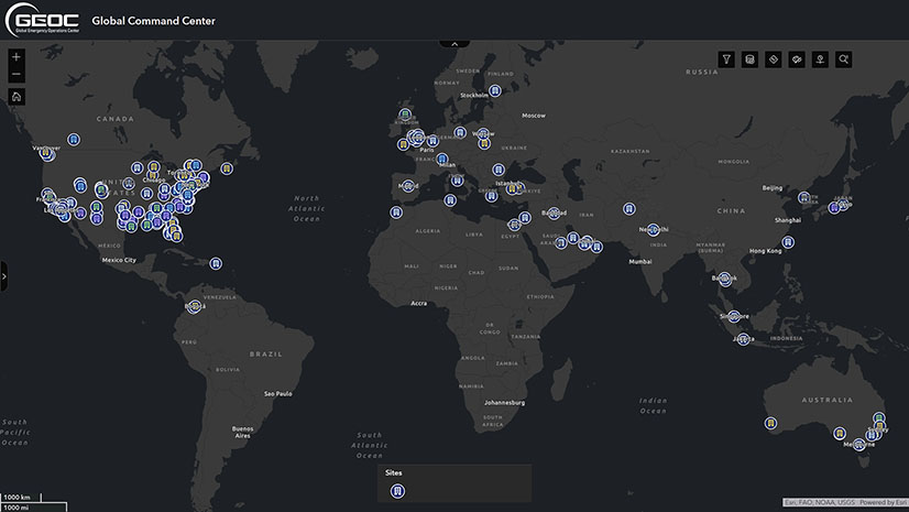
- GIS for real-time threat management—Insights into integrating sensors, monitoring critical events, and enhancing shared situational awareness in real time.
- The power of GIS in intelligence and analysis—Explore how GIS dissects and visualizes diverse information sources, interrelating geospatial intelligence to enhance decision-making.
- Critical event management and GIS—Discover how GIS supports emergency planning, incident response, and recovery efforts during high-stakes situations and events.
- GIS in executive protection—Tools and strategies for safeguarding high-profile individuals with spatial intelligence and advanced planning.
- GIS for maritime and port security—Establish a heightened and connected maritime domain awareness to mitigate risks and enhance coordination.
- Critical infrastructure security and GIS—Implement an Infrastructure Lifecycle Management strategy that utilizes indoor, facility, and campus mapping to secure critical assets, improve operational readiness, and prevent security incidents. This approach incorporates GIS for security planning, risk assessment, surveillance optimization, and physical security to ensure resilience and robust protection.
Who Should Follow This Series?
This series is tailored for security professionals and decision-makers across the Homeland Security Enterprise, including international, federal, state, and local agencies engaged in defense, law enforcement, intelligence, emergency management, border, maritime, and transportation operations, corporate security, public health, cybersecurity, and critical infrastructure protection. Whether new to GIS or looking to deepen your understanding of its applications, this series will provide valuable insights and practical takeaways.
Join Us on This Journey
We’re excited to share how GIS technology revolutionizes security frameworks across the homeland security enterprise. Stay tuned for the first installment, where we’ll introduce the core principles of ArcGIS and its vital role in homeland security.
Learn more
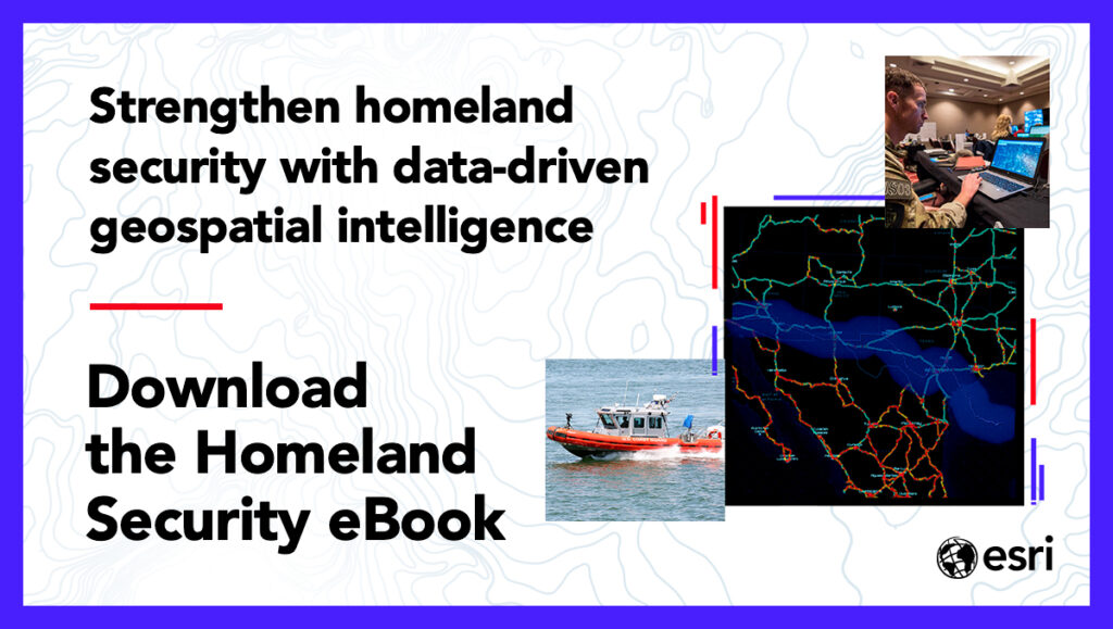
To learn more about GIS for homeland security, visit our solutions page or download our ebook.