Introduction
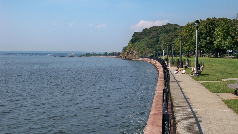
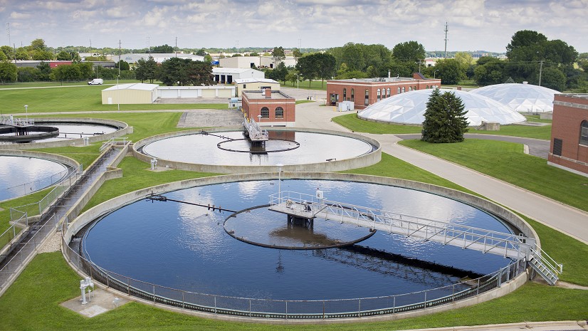
Tucked away in the heart of Alabama, Alexander City is home to a sprawling sewer network that stretches over 150 miles through rolling terrain. Despite significant infrastructure, the city’s journey to efficient sewer system management was not without its hurdles. It was not that long ago that the city struggled with outdated methods, relying on staff’s personal memory to find sewer line locations and initially using a camera without any accompanying software. This approach was far from efficient, especially considering the city’s responsibility to Lake Martin, Alabama’s largest treasure lake, where treated sewage discharges.

The Challenge
The process of modernizing the sewer system maintenance program in Alexander City has humble beginnings. A comprehensive system was not yet in place due to the lack of a dynamic software-based mapping system. Instead, experienced personnel had to rely on their recollection, which hindered efficient sewer management. To overcome these challenges, Alexander City decided to use GPS to map the entire sewer system, creating a comprehensive Esri geographic information system (GIS) map of the buried assets. While this was a significant step in the right direction, the inspection data of the city’s pipes was disorganized and full of inconsistencies and errors. Additionally, if a problem was found during an inspection, the process to follow up on it was complicated, and necessary maintenance was often overlooked.
The Partner
After considering several options, Alexander City chose ITpipes for the best solution to improve the city’s sewer management capabilities. ITpipes provides software inspection solutions for water and wastewater utilities to help effectively collect, analyze, manage, and integrate pipeline inspection data in a fully integrated Esri solution. The company is an Esri partner and has Esri ArcGIS System Ready certification. The pipeline inspection software is listed on the ArcGIS Marketplace.
The Solution
ITpipes provided the city with not only easy-to-use pipe inspection software interfaces but also robust ArcGIS mapping tools, which allowed the city to visualize pipeline analytics and gain immediate access to comprehensive pipe inspection data. With ITpipes, pipeline videos and condition assessment information were readily available with a single click. Key components such as ITpipes Mobile, ITpipes Web, and ITpipes Sync were implemented to provide detailed visibility and control over the city’s underground infrastructure.

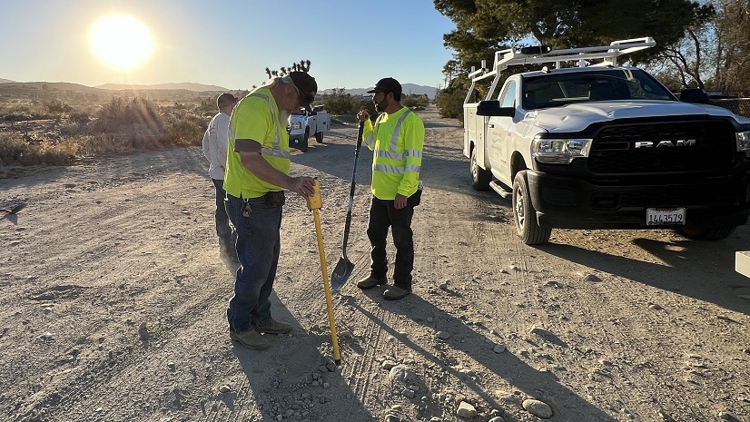
The new system was simple and easy to use for the city’s staff. To start, the supervisor in the office would assign the pipes to be inspected. These assigned inspections would then be automatically synced to the field inspection CCTV vehicle. While in the field, the pipe inspection crews were able to benefit greatly from the integration of mapping with asset data. ITpipes software made it possible to directly import asset information from the GIS, which automatically filled in asset header data for each inspection. The interface was simple, enabling the crews to efficiently inspect and record defects in both sanitary and stormwater sewers throughout the day. Once back in the office, the crews’ data automatically synced to ITpipes Web via their connected devices, ensuring that no inspection data was lost. Office staff could then immediately access the latest pipe inspection videos and reports integrated within Esri web maps through a specially configured Esri web application.
The Results
The integration of ITpipes software with Esri’s GIS technology has had a significant impact on the management of Alexander City’s sewer system. Before the integration, the city experienced up to 100 overflows annually. However, with access to geospatial pipe-condition data, proactive maintenance strategies have been implemented, resulting in a reduction of overflows to single digits annually. Routine maintenance has become more efficient, allowing the city to comprehensively inspect its entire system every two years. The user-friendly ITpipes software has made it easy for city staff to learn how to operate inspections. This efficiency has also enabled the city to prioritize sewer lining projects effectively, leveraging ITpipes Web data to inform annual lining contracts.
Conclusion
Alexander City’s successful partnership with ITpipes and Esri is a great example of how integrated technological solutions can bring a significant change in municipal infrastructure management. The city’s journey from manual, memory-based methods to a sophisticated, GIS-enabled sewer management system highlights the transformative power of technology. As Alexander City continues to refine its processes and integrate further with Cityworks, its story becomes a compelling case study for municipalities across the country that are striving to improve their infrastructure management practices through technology.
“Our partnership with ITpipes and Esri has been a game-changer. The enhanced data accuracy and accessibility have allowed us to implement effective maintenance strategies, leading to our proud reduction in sewer overflows and more efficient use of resources.” — Danny Jo Pike, CCTV Inspection Supervisor, Alexander City
Stay Connected with Esri’s Water Team
ArcGIS is an extensive information system that enables modernization of workflows with easy-to-use applications for the field and office. Strengthen your organization with smart water solutions that will increase efficiency and provide insight for decision-makers. Visit the Esri Water Utilities web site for more information.
Join the Water Utilities Community
Follow #EsriWater on social media: X | LinkedIn
Subscribe to the Water Industry newsletter “Esri News for Water Utilities and Water Resources“
About the author