Before coming to Esri, I worked at a small water district in Ventura County, California. I started in operations and maintenance, repairing and replacing water meters and helping system operators with larger projects. We used paper atlas books with an aluminum binder to locate lines and other assets. We would also pull large as-built documents from a flat file cabinet to see more details about our infrastructure. I was in school at the time and enrolled in a geographic information system (GIS) course, and I saw an opportunity to improve mapping at the district.
After getting approval from management, my first task was to take a handheld GPS unit and locate as many aboveground assets as possible. I did this for almost two years and walked our entire system, capturing GPS points for anything that didn’t require traffic control. We added the GPS data to our existing GIS and watched our asset database grow. This was the beginning of a digital transformation for mapping at the district. We quickly realized the benefits of accurately mapping and recording information about our assets. After graduating, I took on the role of GIS specialist at the water district.
As a GIS specialist, I used Esri software daily to provide maps, applications, and information to every department in my organization. People across the organization were accessing the GIS from their desktop computers, laptops, phones, and tablets. Atlas books were still being updated but were no longer the go-to for asset information. We integrated multiple business systems with the GIS, providing even more information to end users. GIS became an important part of the organization, and even though there was only one full-time GIS position, we had many operators, technicians, customer service representatives, managers, and engineers who used maps daily for their work.
I started working for Esri two years ago and quickly realized that there are a lot of resources for water utilities that I had never accessed. These would have been helpful to me when I was maintaining the GIS and searching for ways to improve my workflows. I wish I had known about these resources sooner, and I don’t want anybody else in a similar position to miss out on them. To help with this, I am providing the five resources I wish I had known about when I was a GIS specialist at a water district:
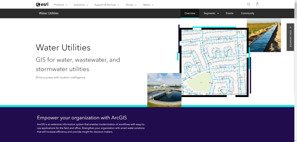
This is a great place to start exploring all the resources Esri has for water utilities (water distribution, wastewater, and stormwater). On this web page you can access ebooks, technical documents, and case studies related to GIS and water utilities. You can see upcoming events and access past webinars hosted by the Esri Water Team. There are dedicated sections for Water, Wastewater, Stormwater, and Small and Rural Systems. There are links to information about how GIS supports Network Management, Asset Management, Customer Care, and more.
On this page, you will find over 40 no-cost solutions configured for different utilities: energy, electric, gas, sewer, stormwater, and water distribution. These solutions deploy out of the box into your ArcGIS environment and are focused on industry-specific workflows. The data management solutions for water distribution, reclaimed water, and sewer would have been very useful to me when I was managing those systems in a GIS using older data models. The operations crew would have benefited from the hydrant inspections and backflow inspections solutions, as well as the right-of-way (ROW) and easement data management solution. I highly recommend exploring ArcGIS Solutions. You will likely find a solution that your organization can benefit from. You might also find something that inspires new ideas for how your organization can expand GIS into different departments.
Esri has thousands of partners, and many of them are well-equipped to help water utilities tackle the challenging work they face. These partners provide services, solutions, hardware, and software that build on top of or integrate with Esri software. Choosing a certified Esri partner ensures that you’re working with someone with Esri software experience, enabling a more seamless and efficient integration of their work into your GIS environment. This would have been a huge resource for me when looking for contractors or third parties to do work with a GIS component (e.g., a valve-exercising program with GPS points for every valve exercised). We had goals to integrate data gathered during projects with our GIS, and starting with a list of Esri partners that could achieve that would have saved us time and given us the confidence that they could do the job.
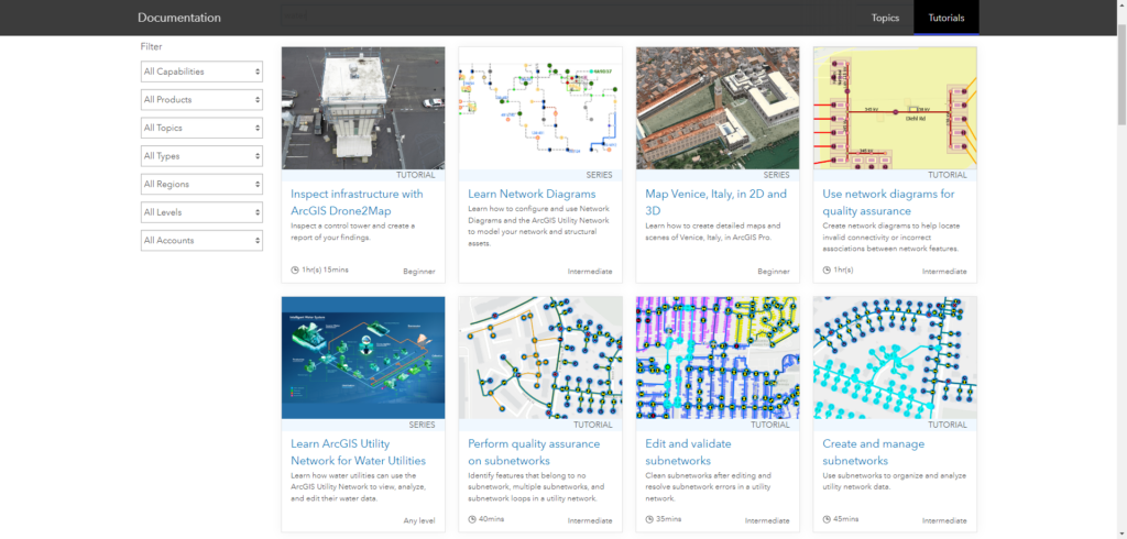
ArcGIS Learn Lessons are no-cost tutorials for a wide variety of topics, products, industries, and organization types. Many of the tutorials come with sample datasets so that you can safely experiment with new and unfamiliar tools while you learn. The Learn Lessons focused on ArcGIS Field Maps and ArcGIS Utility Network would have been very useful for me.
Esri has an entire team dedicated to water, and our goal is to ensure that you are successful. We focus on all things water: water utilities (water distribution, wastewater, stormwater, irrigation), water resources, and everything in between. We work with colleagues across Esri (solutions, professional services, product management, and more) to provide the best support possible for our customers and partners. Many of us have a background working in the water industry. We attend events and conferences, host user group meetings and webinars, provide training and consulting, and much more. I encourage you to familiarize yourself with the water team, and if you are attending one of our events, be sure to introduce yourself. You will find that we are a welcoming group that is always willing to listen and help.
Bonus Resource 1—ArcGIS Online
ArcGIS Online is not something new to me, and I used it often to create maps and apps as a GIS specialist. However, in the last few years the capabilities, features, and tools available in ArcGIS Online have expanded greatly. You can now perform analysis, use a plethora of different geoprocessing tools, deploy applications in minutes, and even create 3D scenes. I encourage everyone to explore the new features available in ArcGIS Online.
Bonus Resource 2—ArcGIS Architecture Center
This is something new that I wish existed when I was a GIS specialist. The ArcGIS Architecture Center provides design and implementation guidance to architect ArcGIS systems for specific business needs. I had to do a lot of experimenting, testing, and troubleshooting with my data systems and IT department to achieve a successful deployment of ArcGIS Enterprise integrated with multiple business systems. Using this site as a reference would have saved me a lot of time and given me peace of mind that I had a well-architected system in place.
Stay Connected with Esri’s Water Team
ArcGIS is an extensive information system that enables modernization of workflows with easy-to-use applications for the field and office. Strengthen your organization with smart water solutions that will increase efficiency and provide insight for decision-makers. Visit the Esri Water Utilities web site for more information.
Join the Water Utilities Community
Follow #EsriWater on social media: X | LinkedIn
Subscribe to the Water Industry newsletter “Esri News for Water Utilities and Water Resources“