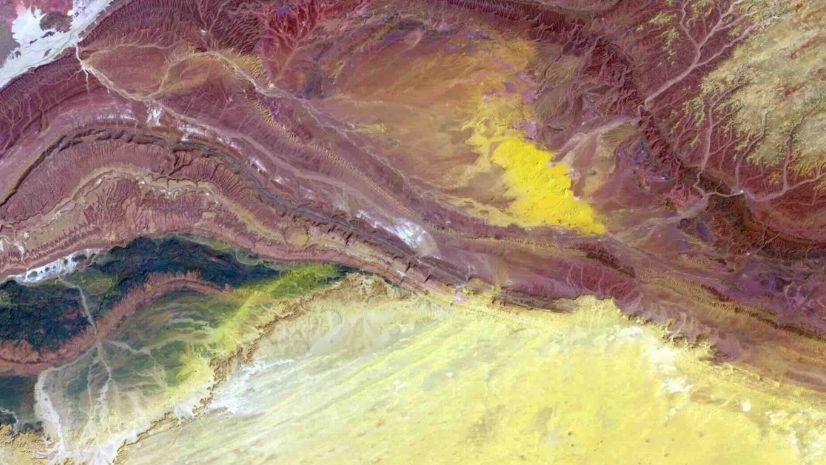
In the bustling heart of St. Paul, Minnesota, the METRO Gold Line Bus Rapid Transit (BRT) project is underway. Expected to debut in 2025, this transit system will bridge the east metro to the sprawling regional METRO network, uniting communities and commuters across the region. It promises seamless connectivity to employment hubs, housing options, transit arteries, and key destinations along the bustling I-94 corridor. Large construction projects have numerous stakeholders who are responsible for different aspects throughout the construction lifecycle, managing stormwater runoff is critical since active construction sites can be a large contributor to pollutants entering a community’s waterways if not managed properly.
Partner
Ames Construction is a full-service heavy civil and industrial general contractor operating throughout North America. Based in Minneapolis, the company specializes in heavy civil construction and is contracted by government and private organizations throughout the country to deliver infrastructure projects for highways, railroads, bridges, airports, and industrial facilities. Ames Construction secured the active construction stormwater inspection responsibilities of the Gold Line project.
Challenge
Many communities, as well as DOTs, must remain compliant with the regulations for municipal separate storm sewer systems (MS4). The Storm Water Pollution Prevention Plan, essential for preserving community water quality, requires inspection information to be accurate and standardized to support the ability to quickly safeguard against pollutants infiltrating the community’s waterways through stormwater runoff. Communication and compliance are vital elements of a well-managed project; in the construction landscape where numerous stakeholders are integral – from local communities and DOT offices to city authorities, utility providers, and engineering firms – managing this intricate tapestry of collaboration demanded a new approach.
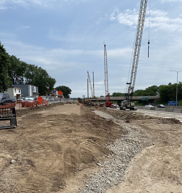
Traditionally stormwater inspectors would need to visit the active construction sites, using a paper form to conduct inspections. After the inspection they would need to return to an office to finalize their reports, sign them and those paper letters would be mailed out to the site operators. Photos are essential documents to be included in those reports and compiling and labeling each photo before adding them to the report could take hours.
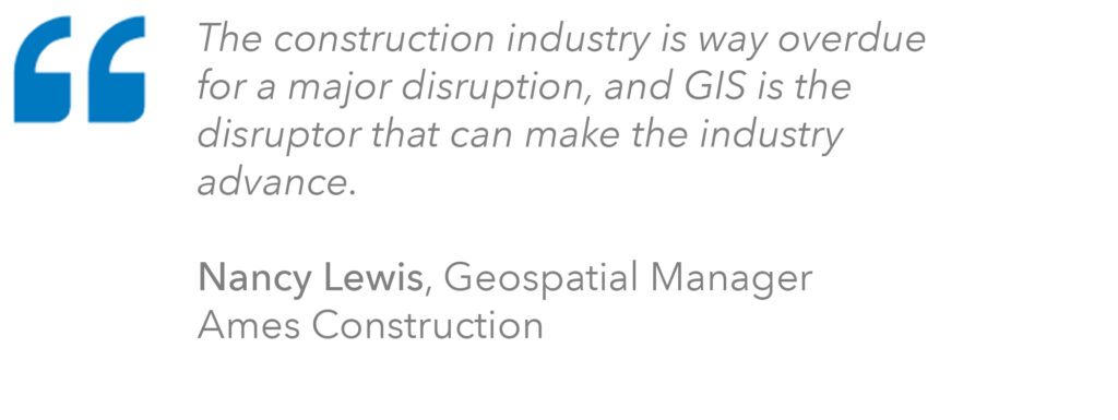
Recognizing the need for a digital and near real-time solution to enhance inspections, facilitate communication, and fortify the project’s integrity, Nancy Lewis, Ames Construction’s geospatial manager, spearheaded a groundbreaking transformation.
Solution
To optimize inspection assignment and streamline reporting efforts, Nancy deployed Esri’s Stormwater Construction Activity Management solution.
This solution delivers a set of capabilities that help conduct routine construction site inspections, record observations of sediment and erosion control on site, understand the effectiveness of stormwater control measures, and provide actionable reports to stakeholders.
Result
Inspectors can now seamlessly perform routine site inspections, recording their observations and evaluating the efficacy of stormwater control measures. Stakeholders receive actionable, real-time reports, fostering transparency and rapid response.
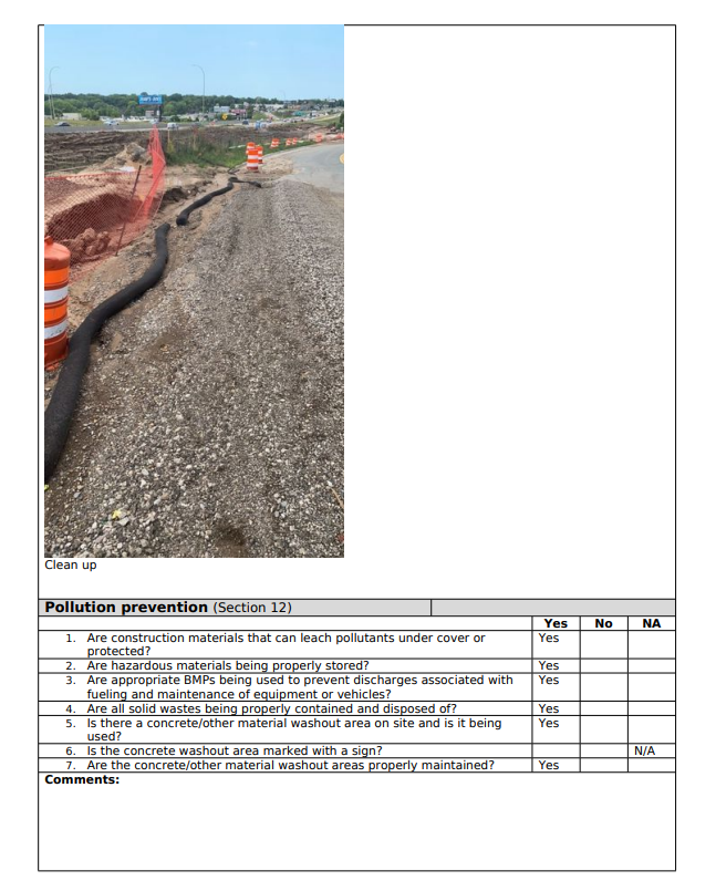
Using ArcGIS Survey123, inspections are scheduled at seven-day intervals, utilizing forms on smartphones or tablets to streamline data collection. ArcGIS Survey123’s capacity to incorporate multiple images into reports, significantly reduces the time inspectors need to spend, in the office, provides valuable documentation for compliance reporting and enhances communication onsite with the site operators.
ArcGIS solutions like the Stormwater Construction Activity Management solution are customizable to organizational needs. Nancy configured the solution to extend access to the field mapped photos that helped visualize project status and inspection details in ArcGIS Dashboards.
Data is presented in an easily digestible format, empowering project managers to understand site conditions and report key performance indicators (KPIs) enabling them to make quick decisions and response to issues in near real-time.
Stay Connected with Esri’s AEC Team
Join the Architecture, Engineering and Construction Community
Subscribe to the AEC industry newsletter “Esri News for AEC”
About the author