Telling the temporary (and unwilling) residents of airports in Chicago, Houston, Denver, and a couple dozen others “Merry Christmas” or “Happy Holidays” is unlikely to get you a warm response. As of Tuesday, December 27, about 87% of all U.S. flight cancellations are Southwest, according to FlightAware and CNN. Tomorrow, that number is expected to reach a staggering 99%. There is no immediate correction to this in sight. In fact, many would-be passengers have been told they are unlikely to get home in the next 72 hours. You wouldn’t have to try hard to find someone or a friend of someone that is being directly impacted by this today.
The knee-jerk reaction is to think that the weather caused this, but you’d be only partly correct. On the day after Christmas, in the midst of Winter Storm Elliott, while Southwest canceled over half its flights, no other airline was above a 15% cancellation rate, and all but two were in single digit percentage rates. But I come here neither to praise nor bury Southwest (tip of the hat to Marc Antony). The catastrophe that Southwest is experiencing provides a lesson to be learned by city and county planning departments across the country.
We’re learning from internal memos, employee statements, and customer interactions that the business systems there are the crux of the problem. Captain Casey Murray is the president of the Southwest Pilots Association and he told CNN, “We’ve seen these sorts of meltdowns occur on a much more regular basis and it really just has to do with outdated processes and outdated IT.”
Southwest is learning in a very painful way what happens when an organization holds on to legacy technology for far too long under the misguided belief that updating it will be costly, obstructive, and time-consuming.
There are many planning departments at local governments across the nation who are in a similar situation. They have dated workflows and legacy technology in place to deal with modern challenges and demands from developers, administrators, colleagues, and the public. What does this look like?
- Only accepting hardcopy submissions of site plans, re-zonings, and so forth.
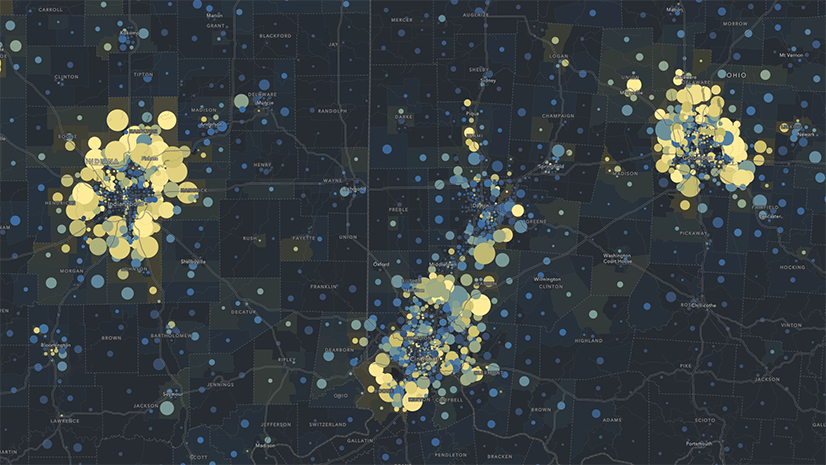
- Anecdotal and/or dated demographic information about neighborhoods
- Public engagement with the planning department is almost exclusively in person at commission/council meetings and town halls.
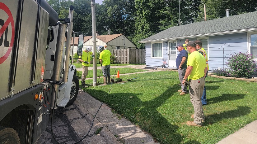
- Planners, inspectors, and zoning code enforcement officers head out to sites with only pen and hardcopy forms in hand.
- Permitting and other critical systems of record are stored in spreadsheets operated by a single person or small group.
- Collaboration with colleagues about proposed developments is stored on sticky notes and/or a long string of e-mails.
Geography is at the core of everything a planning department does, and today’s planning department must embrace a geographic approach to their work…and a modern one at that. ArcGIS provides the platform that empowers a planning department to meet the expectations of its customers, while optimizing workflows and creating a path towards sustainable development. What does this geographic approach to planning look like?
- Understanding neighborhood characteristics, so that decision makers can leverage timely authoritative demographic and socio-economic data to gain better insight into area traits and features.
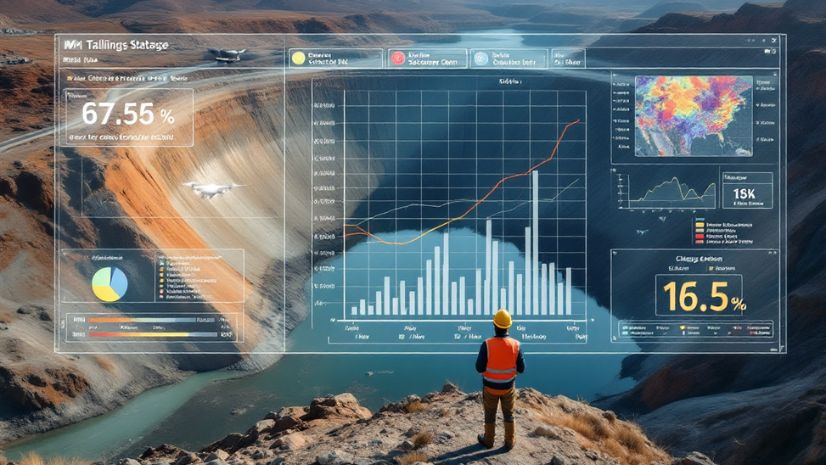
- Deriving insight from business systems that enables a wider group of planners and officials to generate more value from systems like permitting and reveal trends and patterns in development over the years.
- Implementing sustainable policies by analyzing a combination of local, state and national data to justify changes in community development strategies.
- Optimizing internal workflows, including those in the field, to better manage the daily tasks of a planning department and provide transparency for the public and administrators.
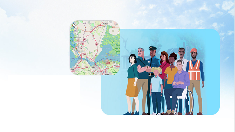
- Supporting civic inclusion to create a genuine partnership between the public and the planning department by establishing methods where all of a community’s voices can be heard and engaged.
- Empowering iterative scenario planning and design, which helps planners work more collaboratively with developers and administrators in a timelier manner.
It’s an understatement to say GIS has come a long way over the last decade. The good news is web and mobile-based apps make it easy for planners (who may not be GIS experts) to access the tools they need to leverage this geographic approach to planning.
While keeping dated planning systems and processes in place won’t likely mean customers are stranded in City Hall over the holidays, planners have an obligation to put their department’s best foot forward to meet the needs of their residents. That process starts with GIS. If you’re not sure where to start, please feel free to reach out to your Esri account team or visit us at esri.com/planning.