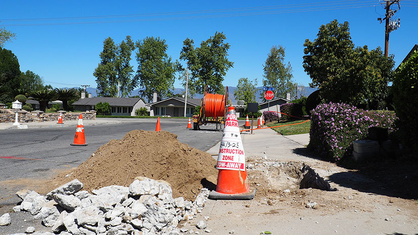
Out of all the discussions around infrastructure, broadband efforts are one of the only ones incorporating GIS right from the start.
This is because governments know that in order to close the digital divide, they must first understand where gaps in broadband coverage exist, use spatial analytics to make smarter infrastructure decisions around where to investment, and decide what neighborhoods to prioritize to achieve equity.
Esri has released a collection of new ArcGIS Solutions called Broadband Outreach that are helping state and local governments take advantage of the funding and attention on broadband expansion. Many jurisdictions are already leveraging these tools and additional GIS capabilities to address broadband expansion. The following examples highlight four repeatable patterns we are seeing as governments leverage GIS to close the digital divide.
1) Understand Existing Broadband Coverage
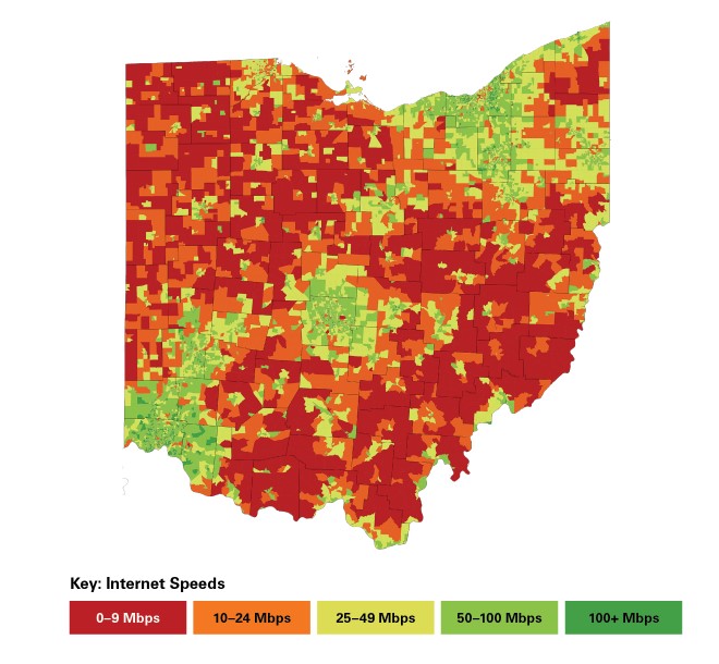
Governments must first identify current service levels and establish baselines through accurate data collection. While the Federal Communications Commission (FCC) has released broadband availability data, this must be supplemented with more current and localized insight directly from residents and businesses in the community. Organizations like State of Ohio are launching speed tests to collect more accurate internet speed data.
2) Gather Feedback & Support from Residents
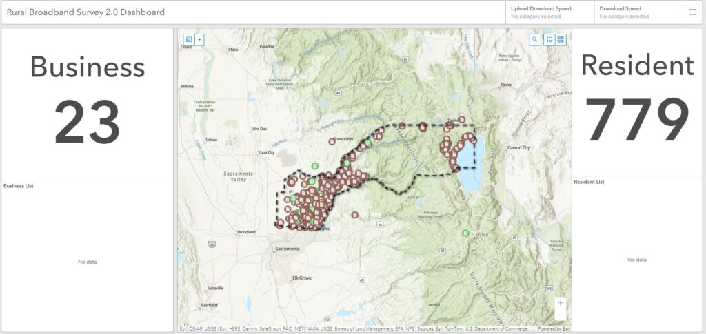
As governments survey their community on broadband access, they are also taking the opportunity to learn more about their community’s needs and expectations. They are adapting the speed tests to gain more feedback including questions on current use, income level, household size, internet provider, and more. Placer County, California for example, incorporated questions around service levels of businesses versus residents, information on current providers, and demographics.
3) Apply an Equity Lens
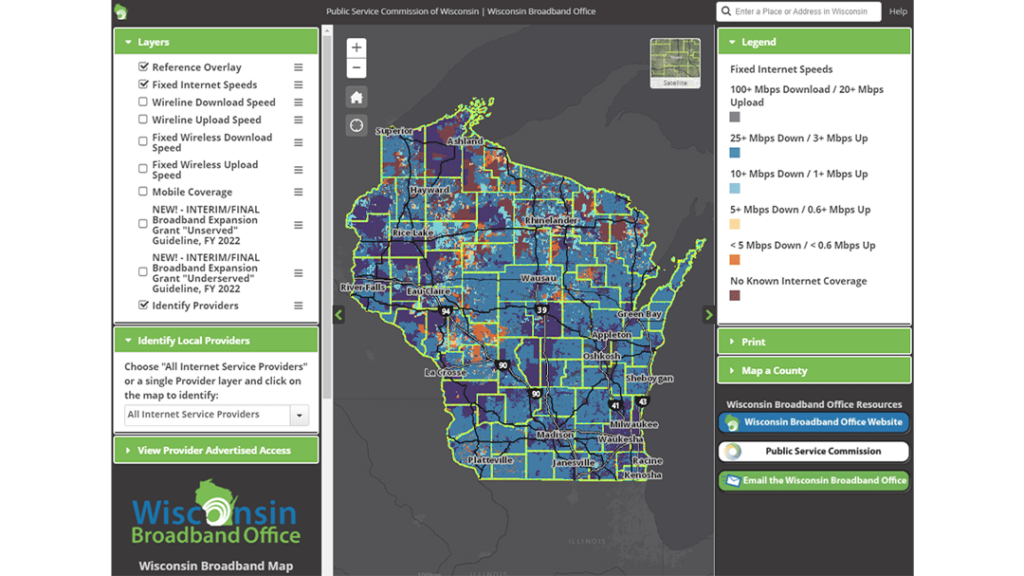
The COVID-19 pandemic drew massive attention to the significant gaps in broadband access and affordability. An effective broadband strategy must address where to spend dollars that make the biggest impact and address underserved populations. Many governments know there are disparities but need spatial analysis to show them more specifically which areas need the most attention. The Public Service Commission of Wisconsin used coverage, demographic, and survey data to analyze areas and apply an equity lens to where they needed to improve accessibility, affordability, and adoption.
4) Partner with Providers to Quickly Expand Infrastructure
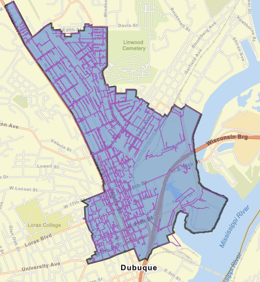
After establishing a greater understanding of coverage, needs, and vulnerable populations, governments need to develop strategies to partner with providers and begin infrastructure expansion. The City of Dubuque, Iowa was able to identify a specific project area that would result in service provider profit via increased customers and coverage, and would address community concerns about speed, access, cost, and equity.
Get Started
These four examples prove why GIS must be at the forefront of broadband discussions. I hope you check out our free ArcGIS Solutions for Broadband Outreach to get started in our own community.
If you’re looking for best practices to fund your broadband expansion, I encourage you to check out our federal funding website where we highlight funding opportunities that will help support your broadband investment and expansion efforts.

