Most recent
Announcing Esri's Equity & Social Justice Seminar Series
We are kicking off the 2025 Esri Equity & Social Justice Seminar Series in Olympia, WA!
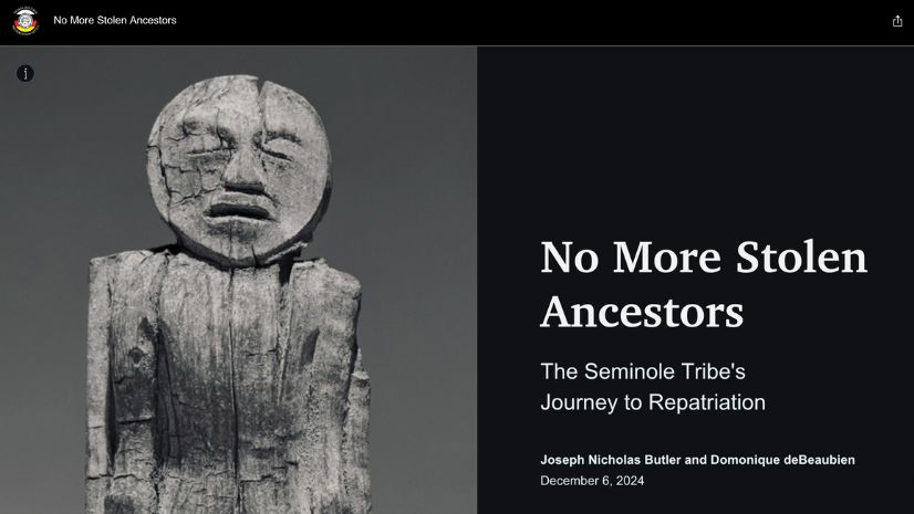
No More Stolen Ancestors: The Seminole Tribe’s Quest for Repatriation
The Seminole Tribe is using ArcGIS technology to track the movement of their ancestors’ remains and bring them back.
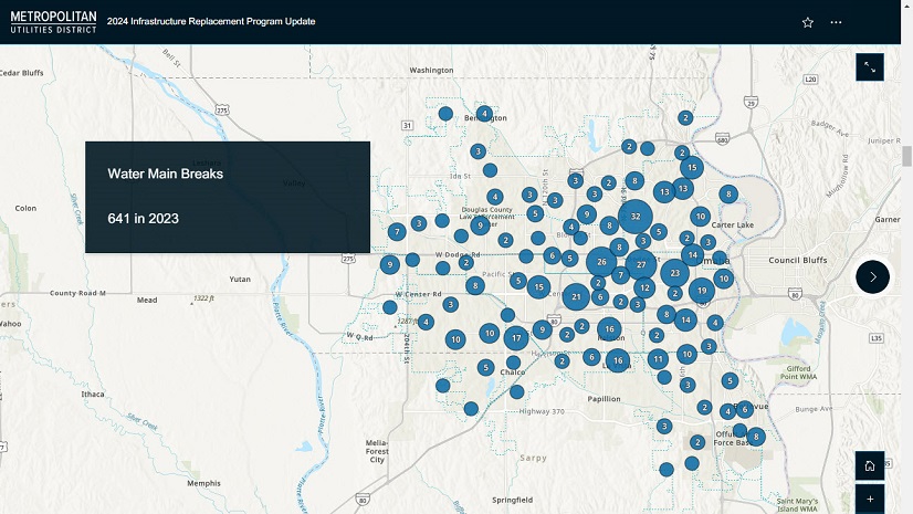
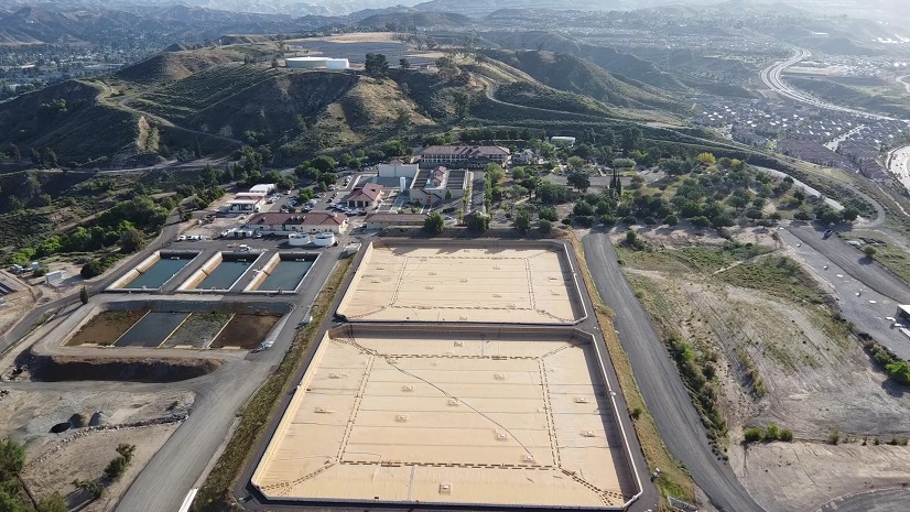
Geospatial Solutions Support Metropolitan Utilities District’s Vision for the Future
M.U.D. implemented ArcGIS Enterprise and Utility Network, resulting in an accurate, real-world data model with full network connectivity.
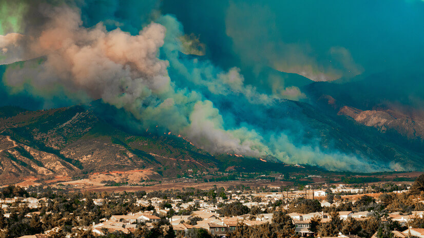
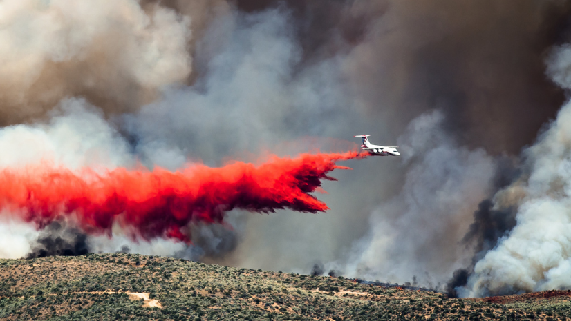
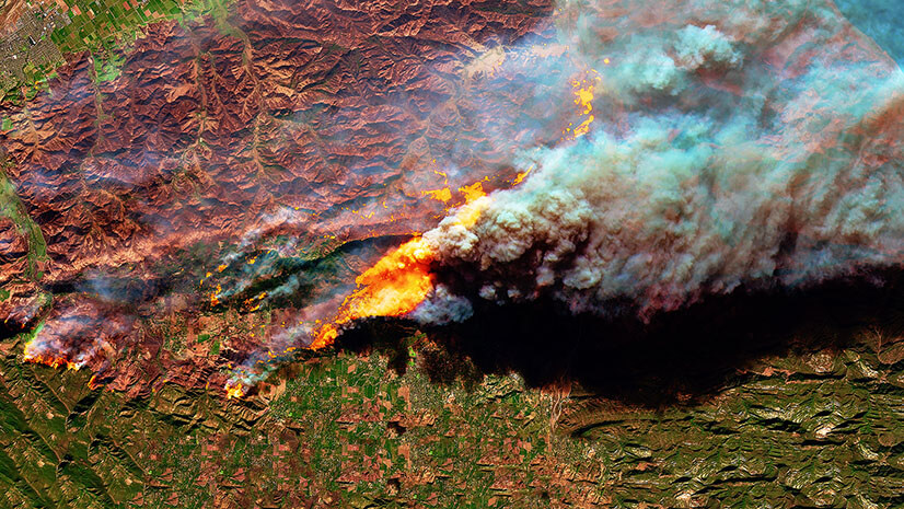
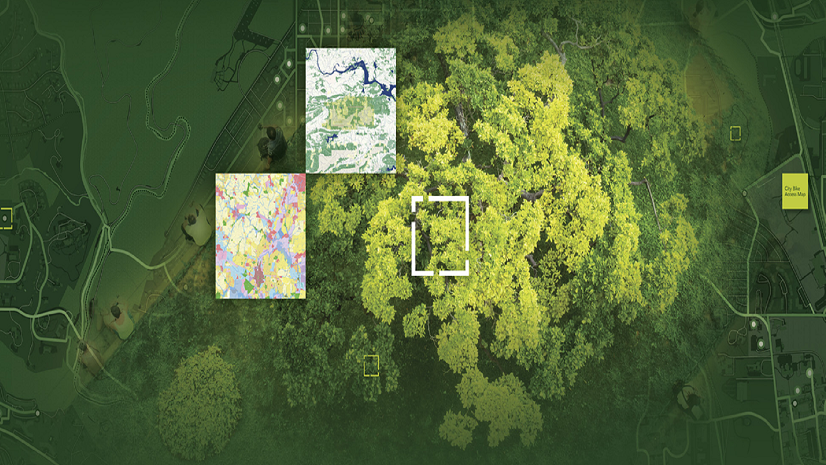
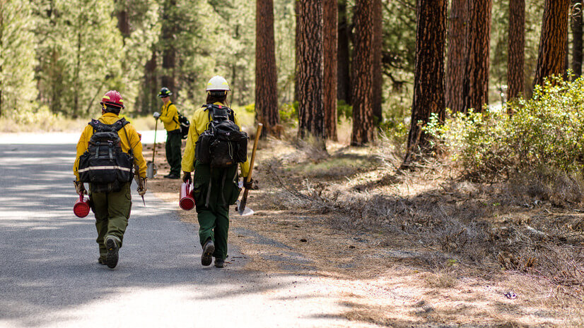
Before It’s Too Late: Making Every Moment Count in Wildfire Preparedness
Time is the biggest challenge in wildfire response. See how GIS & real-time data help communities act before it’s too late.
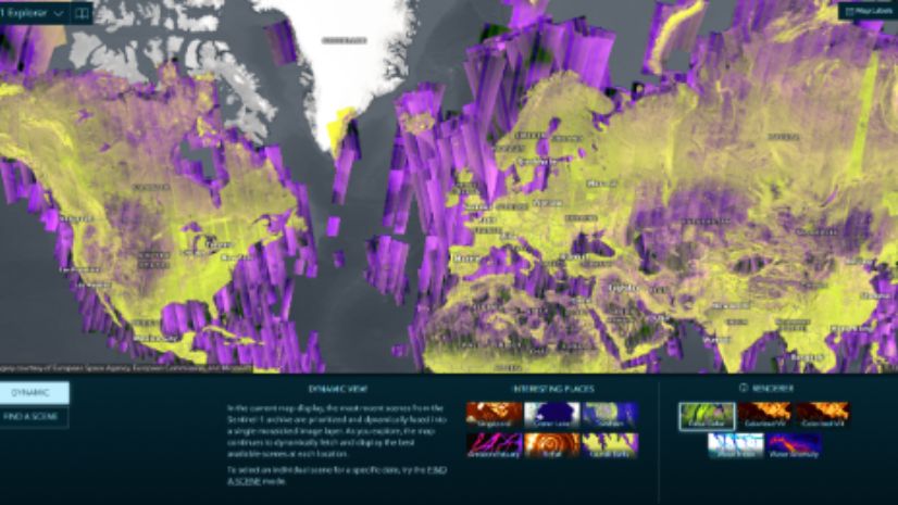
Unveiling Earth’s Mysteries: The Beauty and Promise of SAR and GIS Technology: Part I GIS Helps Demystify SAR
Explore the faces behind the cutting-edge SAR innovations in GIS as we introduce the talented Esri minds driving the future of SAR

FCC’s New Rules Propel Next-Generation 911 Forward:What This Means for GIS
The FCC has adopted rules that will improve emergency response through NG911. Learn how these rules will impact GIS for public safety.
How Two Texas Cities are Blazing a Trail to Smarter Parks Operations with ArcGIS and OpenGov Asset Management
Plano and Arlington, TX, use ArcGIS and OpenGov to enhance park management, community engagement, and sustainability.
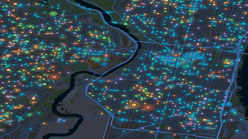
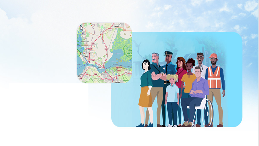
On the Map: Keeping Responders Safe with Real-Time Location Sharing
Explore how near real-time location tracking enhances responder safety and operational efficiency during emergency responses.

Get the Lead Out: CFPUA’s Process from Locating to Replacement of Galvanized Services
GIS-based solutions improved analysis and workflow efficiency, saving Cape Fear Public Utility Authority $2 million.
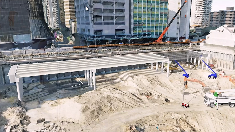
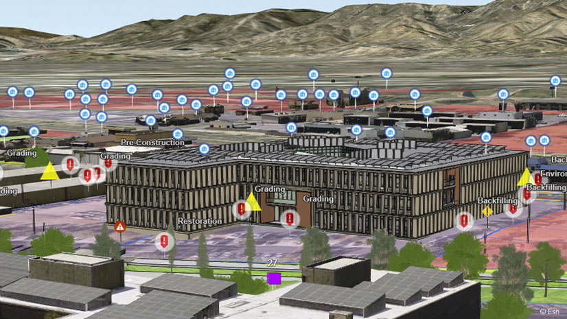
Location Intelligence Digitally Transforming Construction
Esri’s location-intelligent solutions are revolutionizing how construction projects are planned, managed, and executed.

Get to Know Esri's Water Team
Esri's Water Team focuses on all things water: water distribution, wastewater, stormwater and water resources. Connect with us to learn more.

Geospatial benefits in BIM: Esri’s support for buildingSMART International
Esri is progressing the integration of GIS and BIM to promote more resilient cities and smarter infrastructure.
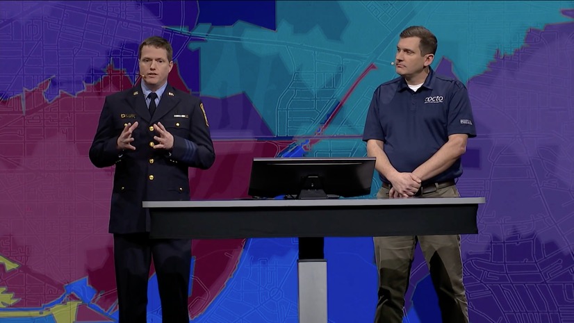
Powerful Team of Two: Revolutionizing Emergency Services with GIS
Dedication and ingenuity have transformed DCFEMS operations, making them faster, smarter, and more effective.