Book details
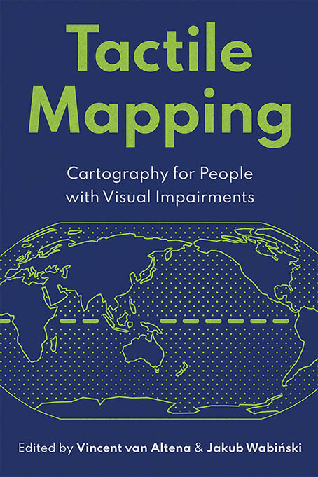
Gain new insights into the foundations and methods of presenting geographic information for greater accessibility.
Few of us ponder the mechanisms behind our eyes. We simply expect them to capture the world around us. But for many people, injuries, illnesses, aging, and other health issues can hinder their ability to see and navigate their world. When it comes to maps, assistive technology can only do so much, often lacking the subtle nuances of a landscape, changes in elevation, or the presence of nearby bodies of water. This lack of a geographical overview impedes not only exploration of unfamiliar neighborhoods but also a more general geospatial understanding of local, regional, and international phenomena.
Tactile maps can be life-changing for people with visual impairments, offering them greater independence and inclusion. Yet much of the research done in the field of education for people who are blind has remained inaccessible to a broader audience. Tactile Mapping: Cartography for People with Visual Impairments aims to bridge this gap by exploring the subject from a multidisciplinary perspective, illustrating cartographic theory with real-life case studies and user stories.
A collaboration by skilled professionals, domain experts, and people with visual impairments, Tactile Mapping offers fresh insights from three perspectives: user experience, scientific research, and practical implementation. Through this collection of expert-written chapters, case studies, and user stories, cartographers and other geographic practitioners can gain new insights into the foundations and methods of presenting geographic information for greater accessibility.
Topics include:
- The role of maps in shaping our perception of the world
- Best practices in tactile map design, including an understanding of tactile perception
- Complex geographic data and the importance of abstraction, generalization, and content selection
- The need for map design processes to be user-centered
- Different output media for tangible maps and geographic models
Cartography not only helps us better understand the world but also helps us convey that knowledge to others. Tactile Mapping: Cartography for People with Visual Impairments explains and demonstrates how mapmakers can and are being intentional and inclusive with their designs.
Dr. Vincent van Altena, senior researcher at Kadaster (the Netherlands), is a geospatial expert with a background in theology and GIS. He leads the Dutch initiative on tactile mapping and is co-chair of the ICA Working Group on Inclusive Cartography. In his free time, Vincent enjoys music and cooking.
Dr. Jakub Wabiński, assistant professor at the Military University of Technology in Warsaw, Poland, is a co-chair of the ICA Working Group on Inclusive Cartography. His research focuses on tactile map design, with a background in geospatial engineering and a passion for novel cartographic presentation methods. In his free time, Jakub enjoys board games and exploring the outdoors.


