Book details
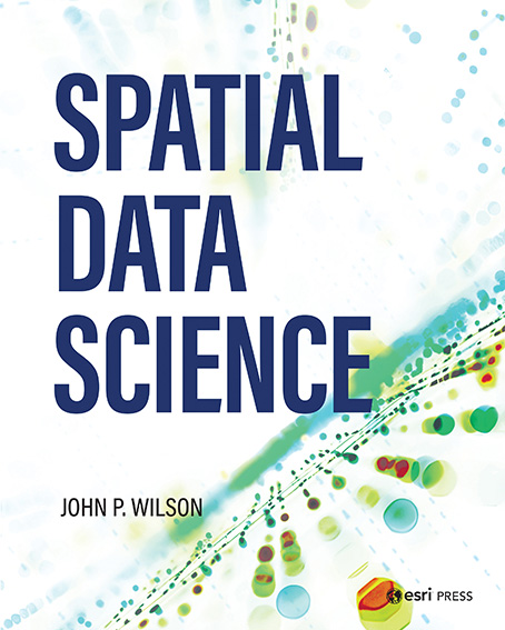
Spatial Data Science shows how spatial scientists and practitioners can add big data and the opportunities introduced by it into their workflows and methods. It explores how to use the Esri geographic information systems (GIS) software ecosystem to support new spatial data science methods to help extract additional insights from various sources of geospatial data.
Through six chapters, this book explains how the spatial domain can provide many of the building blocks, critical for transforming data into information, knowledge, and solutions. Topics include:
- the growth of spatial data over the past few decades
- Cloud computing, big data, and data science
- Geospatial big data
- the Esri geospatial cloud
Spatial Data Science is for those using or studying GIS and the computer scientists, engineers, statisticians, and information and library scientists leading the development and deployment of data science.
John P. Wilson is a professor of spatial sciences and sociology at the Dana and David Dornsife College of Letters, Arts and Sciences at the University of Southern California (USC). He is also the founding director of the Spatial Sciences Institute. His research focuses on the modeling of environmental systems and makes extensive use of GIS software tools, fieldwork, spatial analysis techniques and computer models.


