Book details
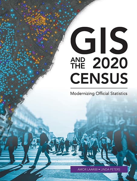
GIS and the 2020 Census: Modernizing Official Statistics guides statistical organizations with the most recent GIS methodologies and technological tools to support census workers needs at all the stages of a census. Learn how to plan and carry out census work with GIS using new technologies for field data collection and operations management. After planning and collecting data, apply innovative solutions for performing statistical analysis, data integration and dissemination. Additional topics cover cloud computing, big data, location as a Service (LaaS), and emerging data sources.
Amor Laaribi
Amor Laaribi has a PhD in geomatics sciences and over 30 years of experience in geospatial information for decision-making and development.
Linda Peters
Linda Peters has a bachelor’s degree in geography and over 20 years of experience in the geospatial industry. She works with National Statistical Offices (NSOs) across the globe, helping them understand how to apply geographic methods and analysis.


