3D Data Management

Create, manage, and share 3D content across your organization with ArcGIS

Find the right solution
3D model of a city on a slight hill with white block buildings and trees dispersed around the buildings and winding streets

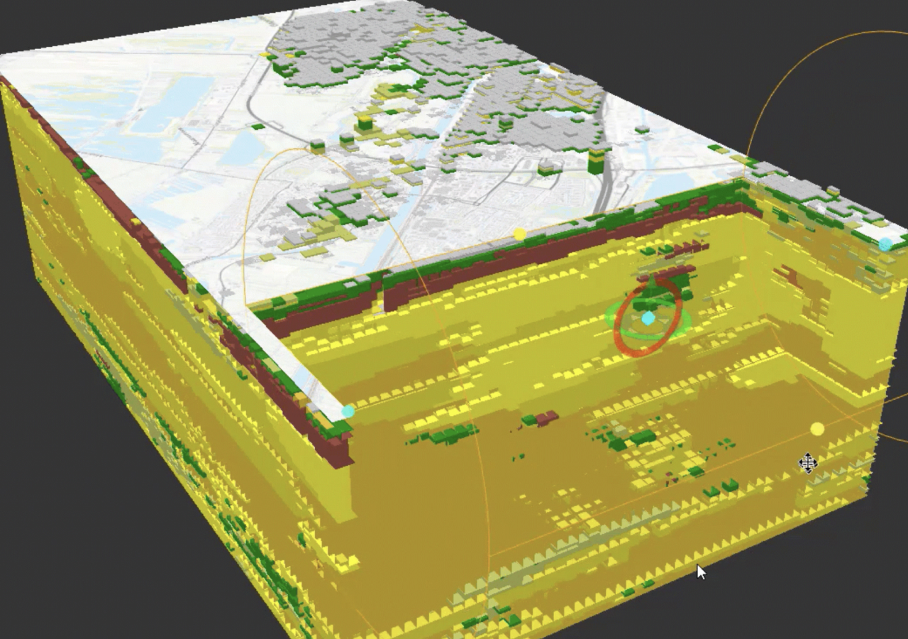
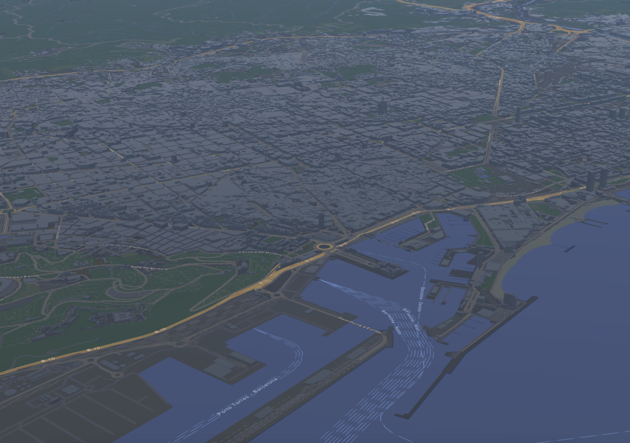
Manage 3D models and data at scale

Keep your data secure and interoperable

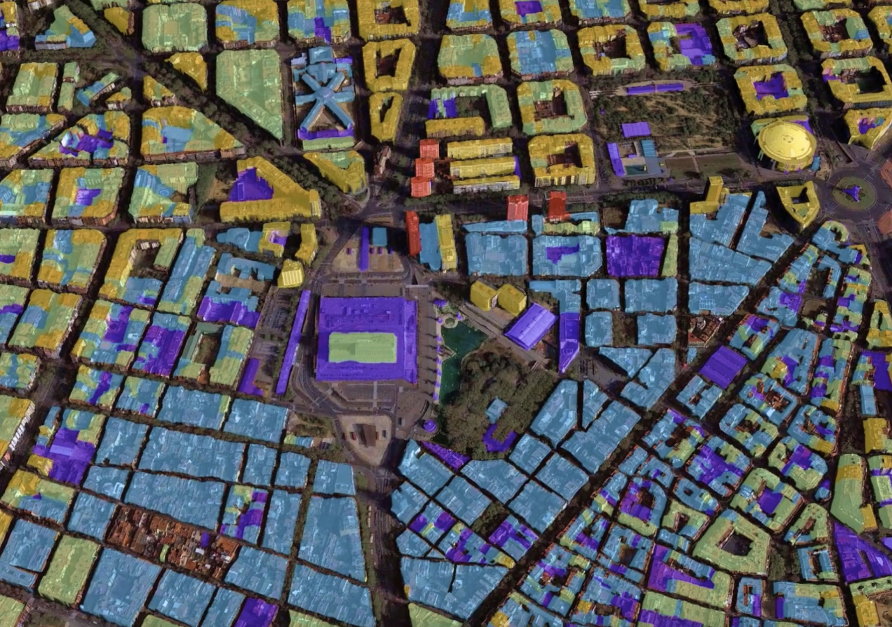
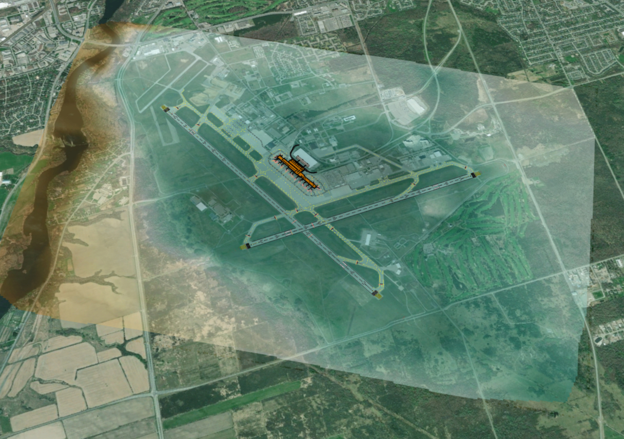
Designed to manage vast volumes of data and formats, ArcGIS is a complete enterprise IT system for enabling teams to create, organize, store, retrieve, and maintain 3D content. Access ready-to-use, authoritative data sources and integrate with other systems to enhance collaboration and unlock new insights.

Integrate with leading 3D data formats

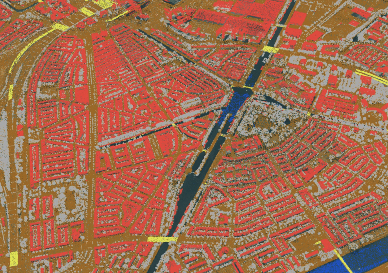
ArcGIS supports a variety of industry-standard and open 3D formats for maximum compatibility and data integration with other systems.

Ensure data accuracy and control

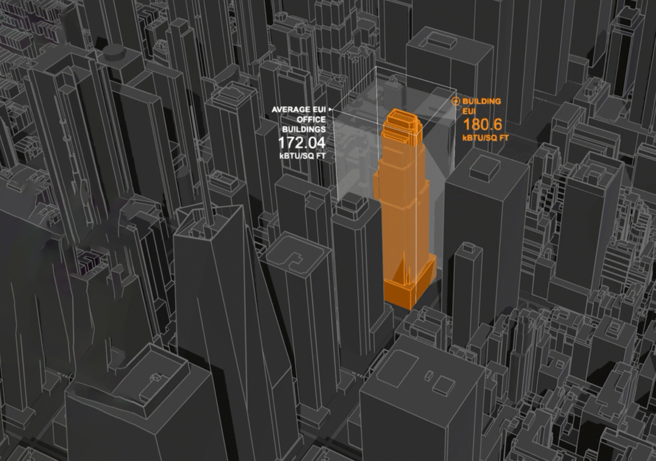
Maintain high-quality data, reduce the risks of errors, and improve decisions with tools in ArcGIS for data validation and quality control.

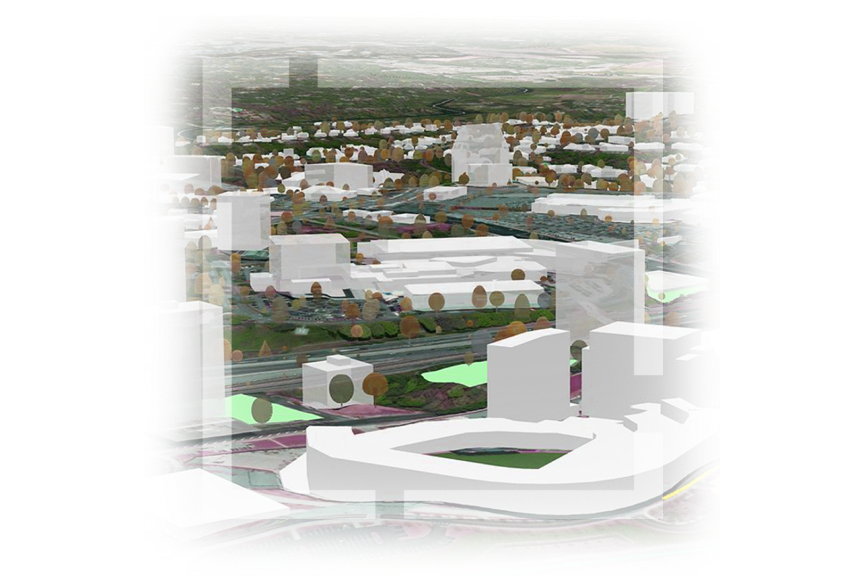
Create and share dynamic 3D content

Improve coordination and communication with powerful data creation and sharing capabilities to enable better collaboration.

Worker at construction site in a hard hat, looking at iPad showing 3D city model with red and purple highlighted buildings
Aeriel view of a tall, gray building model and a parking lot with cars below

Robust 3D data management capabilities

Organize, integrate, and share your organization’s authoritative data with geospatial context and meet the needs of your mission, teams, and projects.

Enhance your 3D data with geographic context

ArcGIS ensures interoperability across systems, software, and devices. Maximize the full potential of your data with 3D spatial context to plan scenarios, deliver projects, and perform analysis with greater precision.

Optimize managing all your 3D data

ArcGIS centralizes data and content with location intelligence to serve as a 3D system of record for organizations of all sizes. Discover the powerful data management capabilities in ArcGIS for addressing your current and future needs as they evolve.

Data integration

ArcGIS supports the integration of data from disparate, authoritative, and open sources into a comprehensive enterprise IT system that is powered by location. Connect to other databases, knowledge graphs, and real-time sensor data for improved analysis and collaboration across subject matter expertise.

Man sitting in front of 2 monitors in an office working with 3D data to model a building

Performance

ArcGIS has advanced capabilities to handle large amounts of 3D data for a smooth, interactive visualization of complex 3D environments. The open 3D content delivery format—Indexed 3D Scene Layers (I3S)—is used to quickly stream large amounts of 3D geographic data across web, mobile devices, and desktops from the cloud and physical servers.

GIF of a 3D modeled city with gray buildings and blue webs moving over selected areas inside a circled region

Content creation and modeling

ArcGIS offers a range of low-code and advanced techniques to efficiently generate 3D content and highly detailed models of natural and built environments. Combined with GeoAI, the integration of artificial intelligence (AI) with spatial data, science, and geospatial technology, users can generate large volumes of 3D data at any scale from various data capture methods.

Demo showing a computer mouse dragging across a 3D modeled city to show addition of 7 new multicolored buildings

Editing and maintenance

Easily perform precise adjustments to geometry, attributes, properties, and object positioning or replacement within 3D scenes. Keep data updated and synchronized with automated processes that help collaborators stay current with changes.

Aerial view of an illustrated building without a roof, revealing visible room layouts, each numbered and colored differently

Data integrity

ArcGIS offers tools for verifying the precision, entirety, and uniformity of your data. Automated quality control and assurance measures such as error identification algorithms can be applied to both imported and exported data.

3D photo of the side of a building shown in tones of gray and black

Sharing and collaboration

ArcGIS makes it easy to share data and work together with your organization, stakeholders, and the public. Share 3D models, interactive scenes, and analysis results for feedback while improving communication, understanding, and decisions. Ensure the right people have access to the latest data to reduce delays and duplicative efforts.

Two women at a desk looking at a computer monitor and collaborating on a 3D map

ArcGIS delivers 3D capabilities across industries

Businesses, governments, and academic institutions around the world depend on ArcGIS and its 3D geographic information system (GIS) capabilities to unlock the full potential of their data with location intelligence.

Previous
Next

Support for open standards

Esri’s open vision and ArcGIS

ArcGIS is engineered to be an open, secure, and interoperable system that supports open 3D data formats such as Industry Foundation Classes (IFC), CityGML, and 3D Tiles. Esri actively contributes to standards development organizations, including the Open Geospatial Consortium (OGC) and International Organization for Standardization (ISO).

Explore Esri’s open vision

Contact sales

Need help finding the right solution? Schedule a conversation with one of our experienced sales consultants.

Contact us

Outside the United States