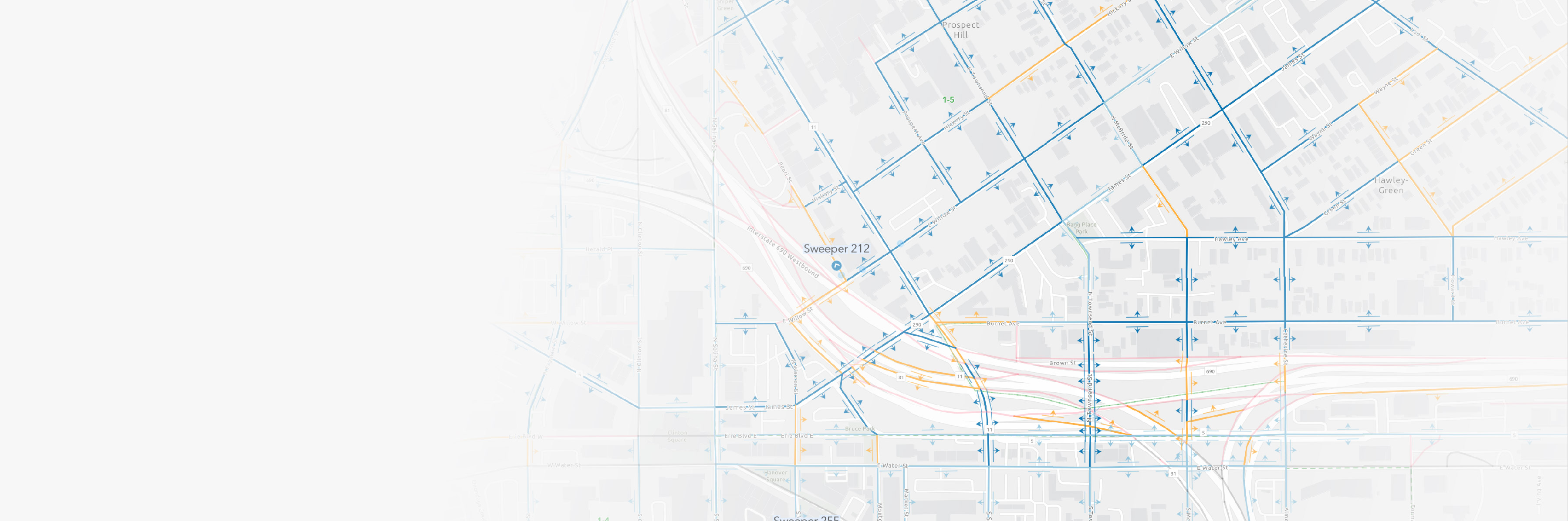
Improve route plans
Manage and visualize sweeping routes, schedules, and service districts efficiently. Amend plans to ensure maximum coverage and effectiveness.

From reducing traffic accidents to minimizing pollution, clean streets and gutters enhance the appearance of your community and play a crucial role in boosting safety and environmental health.
Esri’s Street Sweeping Operations solution helps you improve sweep schedule planning, track real-time progress, and share near real-time sweeping updates with the public. This solution uses ArcGIS Velocity, a software as a service (SaaS) Internet of Things (IoT) application that allows you to ingest, visualize, and analyze streaming data in real time to make informed operational decisions.

Learn how governments plan and conduct street sweeping operations in their communities.
Street Sweeping Operations
ArcGIS Solutions

ArcGIS Velocity
Fill out the form and an Esri expert will contact you to discuss how you can optimize street sweeping operations by deploying a real-time solution.