Disaster Response Program
When disaster hits and organizations need surge capacity to scale up their response, Esri’s Disaster Response Program is there to provide assistance when it’s needed most.

A program that offers discounted software, training, and content for ministries of health and governmental health agencies in countries with low- and middle-income economies.

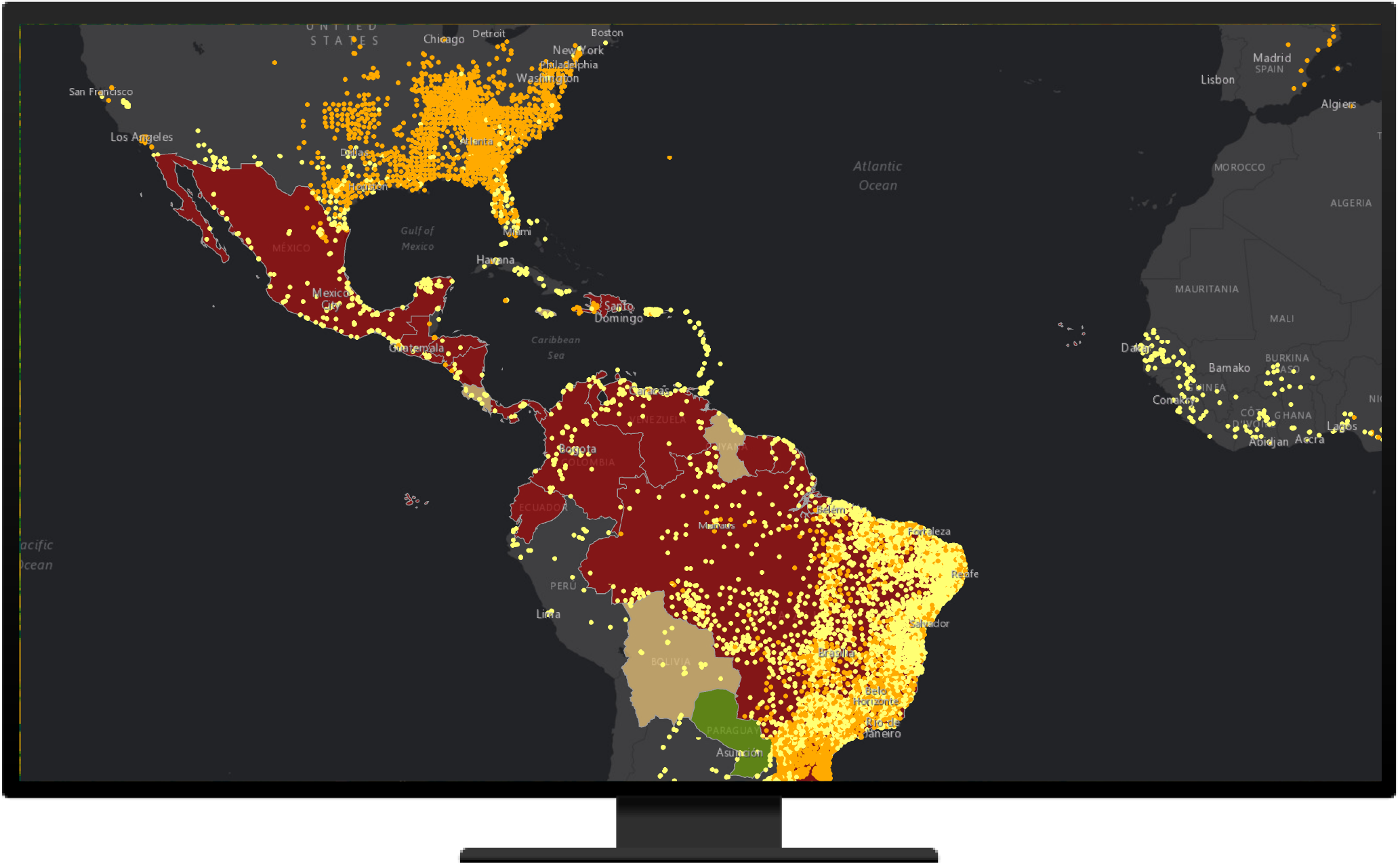
Public health is inherently geographic—it requires spatial data collection, visualization, and analysis to understand disease outbreaks, health facility accessibility, and vaccination planning. To keep people safe and find vulnerabilities, it’s crucial to know where disease cases are located and spreading.
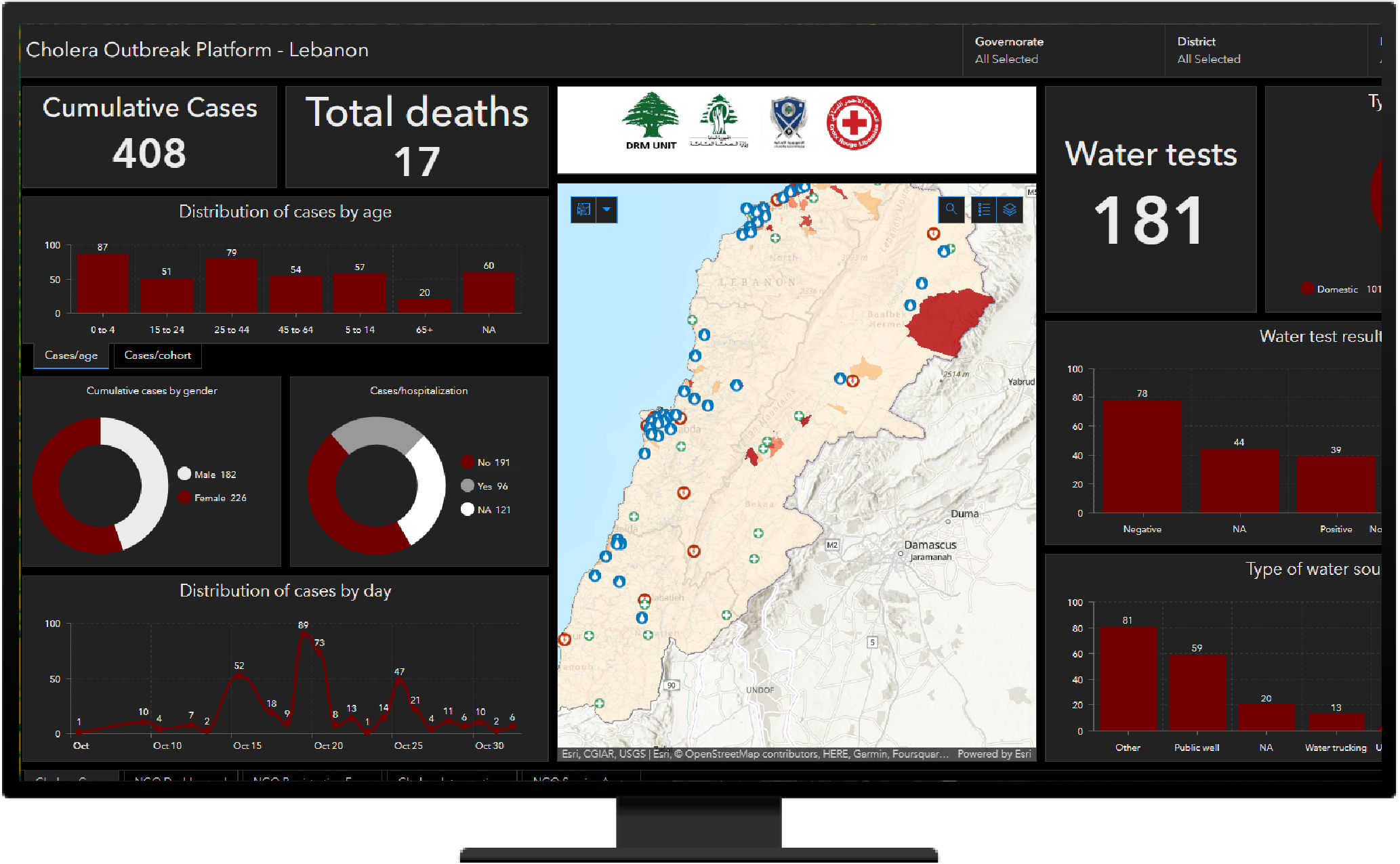
Esri’s ArcGIS software is a secure and scalable platform that supports essential public health workflows, including disease surveillance, vaccination planning, and health facility accessibility analysis.
Discover Esri programs and resources that support your work.
When disaster hits and organizations need surge capacity to scale up their response, Esri’s Disaster Response Program is there to provide assistance when it’s needed most.
Access tools, training materials, and documentation designed specifically for emergency responders.
Access resources to support work addressing large-scale humanitarian disasters.
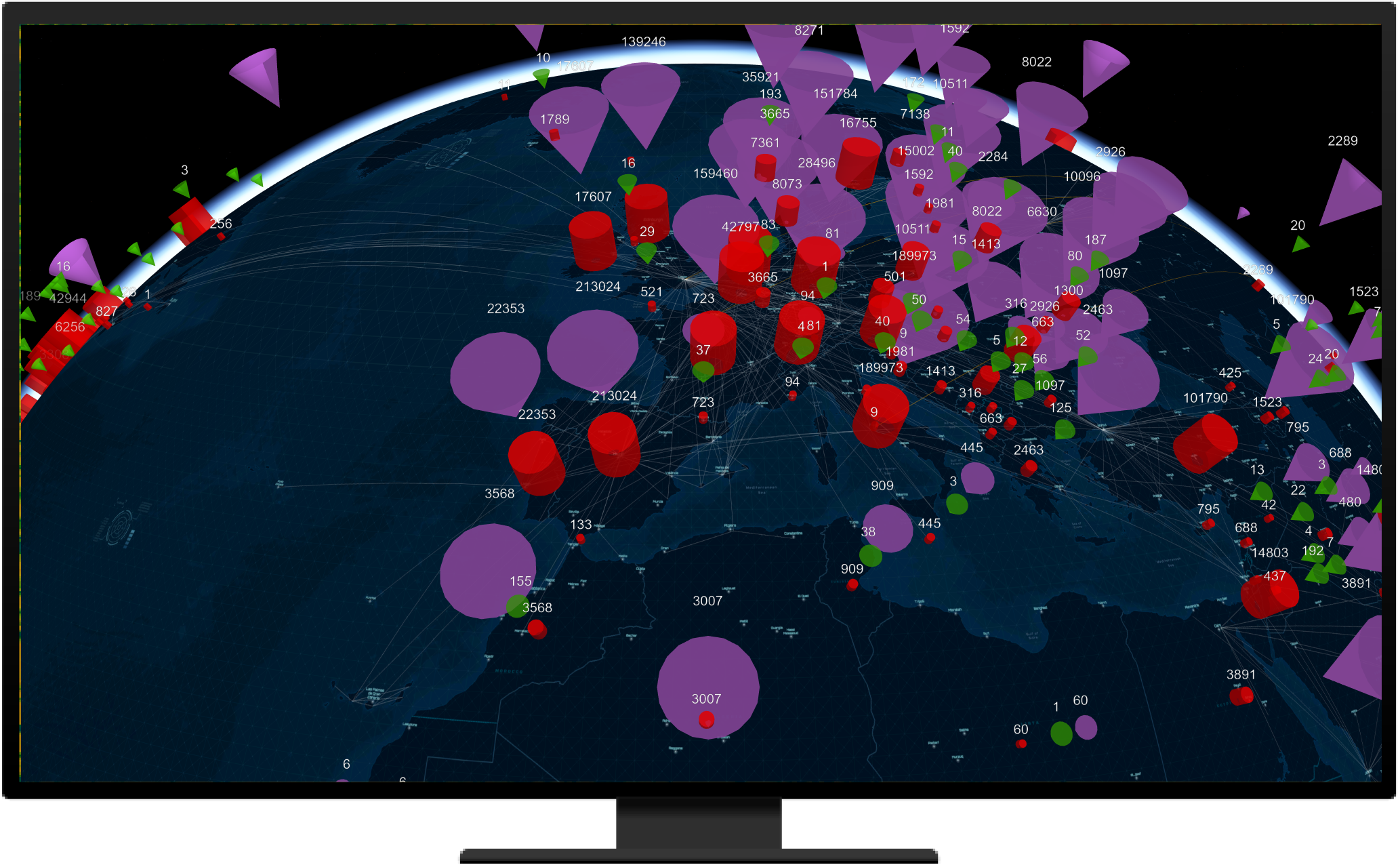
Track the spread of disease and monitor conditions that pose serious public health threats.
Monitor and control vector populations to prevent the spread of disease.
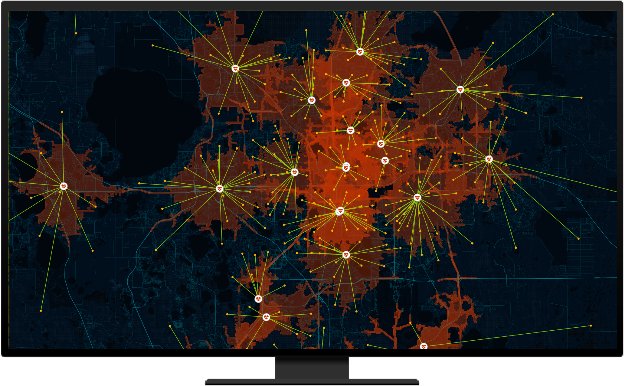
Identify where people don’t have access to care and plan for new health care service locations.
Use Esri tools to engage with community members and other stakeholders to improve health outcomes.
With the program, ministries of health get access to tools, apps, and services that enable location-based strategies.

Esri software supports data visualization, advanced analysis, data maintenance, and sharing capabilities.

Esri provides authoritative and ready-to-use content, including datasets, basemaps, and apps that supplement existing geospatial data.
ArcGIS Solutions is a collection of industry-specific ArcGIS configurations to help you leverage authoritative data and improve operations.

Esri offers many online training and in-person resources, such as passes to the Esri User Conference, discounted training courses, and seminars.
If you are interested in finding out if you and your organization qualify, fill out the form to reach one of Esri’s sales representatives for more information.