Skip to Content

Meet Esri at AGU24

December 9–13, 2024 | Washington, DC

Discover the latest GIS trends and innovations with Esri at booth no. 739.

Mapping the way to a better future

The world’s biggest challenges—climate change, sustainability, and inequality—are interconnected. A geographic approach can help solve them holistically and collaboratively.

Learn more about Esri
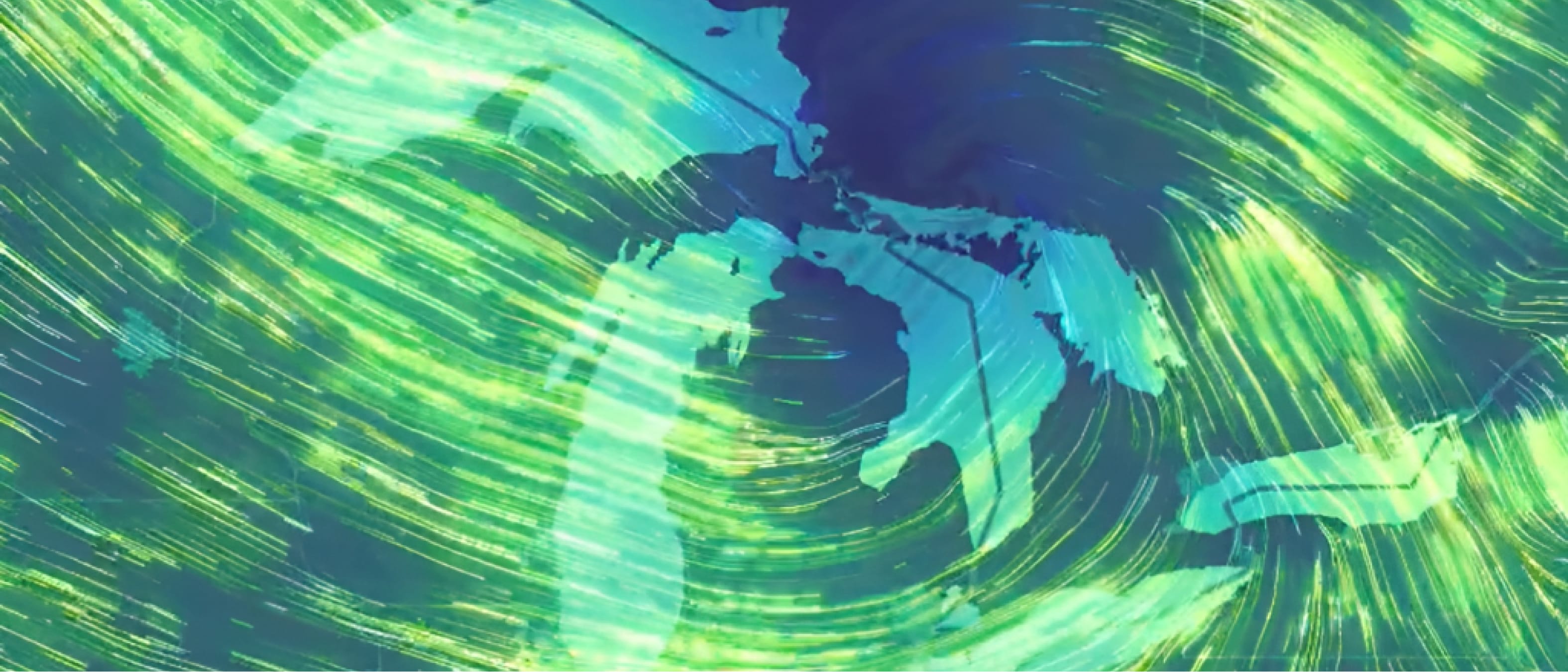
A map of several islands outlined in pale blue, overlaid with wind patterns shown in swirling blue and green

Presentations by Esri

These 90-minute scientific sessions will include in-person and online pre-recorded presentations and moderated Q&A discussions with presenters and attendees.

Enhancing NASA’s climate visualizations with ArcGIS SDKs and interactive media layers

Date: December 9, 2024

Location: Marriott Marquis

In the evolving landscape of data visualization and geographic information system (GIS) technology, emerging technologies are increasingly bridging the gap between these fields, enabling innovative approaches to geospatial data representation. NASA’s Scientific Visualization Studio (SVS) has long been a leader in producing high-resolution climate and earth science visualizations based on GMAO GEOS-CF data. Traditionally, these visualizations are static and computationally intensive, but recent advancements in GIS technology offer new opportunities for interactivity and enhanced data integration.

Presenter: Cole Walts

Learn more about this session

How Can and Should Modern Geospatial Technologies Be Taught and Learned?

Date: December 12, 2024

Location: Marriott Marquis

Modern geospatial technologies have rapidly evolved into a software as a service environment with streaming real-time big data and imagery services enriched by AI-powered analytical tools. At the same time, environmental issues of concern deepen, and societal expectations, workforce demands, and educational institutions are changing.

Presenter: Joesph Kerski, PhD

Learn more about this session

How Long Does It Take to Learn to Use Earth Observations for Better Decisions and Actions?

Date: December 12, 2024

Location: Archives (Marriott Marquis)

20 intense hours? 6 dedicated months? 20 minutes per day? The duration and frequency of capacity building has a significant influence on the content’s structure and depth, audience membership and their engagement, and learning outcomes. 

Presenter: Joesph Kerski, PhD

Learn more about this session

Predictive modeling of aboveground biomass in Spain by integrating data with ArcGIS Pro

Date: December 9, 2024

Location: Hall B-C (Poster Hall) (Convention Center)

Aboveground biomass (AGB) is a valuable ecological variable for understanding the carbon cycle and assessing ecosystem productivity. This workflow demonstrates techniques to map AGB in Cantabria, Spain, using NASA data and other remote sensing tools in ArcGIS.

Presenter: Lisa Tanh

Learn more about this session

Emerging Technologies for Earth Science Data Access and Visualization

Date: December 9, 2024

Time: 4:00 p.m.–5:30 p.m. (ET)

Location: Marriott Marquis, Marquis 12–13

Emerging technologies have paved the way for innovative approaches to visualizing and analyzing geospatial data. The evolution of web services and their seamless integration with geospatial tools have revolutionized earth science data access and significantly enhanced online visualization and analysis while minimizing individual coding and processing.stitutions are changing.

Convener: Lorraine Tighe, PhD

Learn more about this session

Exploring the Five Pillars of Open Science: Challenges, Impacts, and Future Directions

Date: December 13, 2024

Location: Marriott Marquis, Marquis 12–13

Open science is a growing movement that aims to make scientific research more accessible, transparent, and collaborative, gaining traction both at the grassroots level through the actions of individual researchers and from the top down with evolving policies in academic, government, and funding institutions.

Presenter: Lorraine Tighe, PhD

Learn more about this session

Demo Theater Lightning Talks

Join Esri for Lightning Talks at booth no. 739

Explore a realm of innovation and discovery with inspiring talks on geospatial creativity, data access, open science, and more. Explore limitless possibilities where data meets creativity.

Day/timeSpeakerAffiliationTitle
Monday, December 9, 2024
3:30 p.m.Dr. Joseph KerskiEsriWays to enable your science instruction and research with GIS
4:00 p.m.Dr. Kate FickasEsriUnlocking the Power of the Pixel: How Community, Technology, and Education Empower Users to Dive into Remote Sensing
4:30 p.m.Dan Pisut, Dave HerringNOAA/EsriBuilding the Climate Resilience Information System
5:00 p.m.Dan Pisut, Dave HerringNOAA/EsriUsing the Climate Resilience Information System for analysis and mapping
Tuesday, December 10, 2024
10:30 a.m.Josh GrailEsriEnhancing Earth Science Research with the R-ArcGIS Bridge 
11:00 a.m.Jeremy Kirkendall, Alicia TorregrosaEsri/USGSUSGS Colorado River Basin Science Collaboration Portal: Engaging All Users 
12:30 p.m.Dr. Lorraine TigheEsriUnveiling Earth's Transformations: SAR and GIS Synergy for Climate Resilience 
1:00 p.m.Heidi Kristenson, Dr. Lorraine TigheNASA DAAC ASF UAFTools and Services to Discover and Work with NISAR Data
1:30 p.m.Dr. Satish SankaranEsriEmbracing Open Science using Open Standards and FAIR principles
3:30 p.m.Cole WattsEsriTackling Earth Science Challenges with Python
4:00 p.m.Rosemary BooneEsri/YPNGet the Most out of Esri Young Professional’s Network
Wednesday, December 11, 2024
10:30 a.m.Cole WattsEsriIntegrating OGC Services into ArcGIS
11:00 a.m.Dr. Joseph KerskiEsriTeaching inquiry-based learning and spatial data science using GIS and the spatial perspective
12:00 p.m.Canserina KurniaEsriExploring options for performing GeoAI in ArcGIS
1:30 p.m.Genevieve Studer-Ellis, Dr. Lorraine TigheNASA/EsriEmpowering Data Access and Analysis with NASA's Earthdata and ArcGIS Integration
3:30 p.m.Canserina KurniaEsriPerforming Image Processing and Remote Sensing Analysis using ArcGIS for Microsoft Planetary Computer
4:00 p.m.Dr. Joseph KerskiEsriDeveloping critical thinking and ethical skills in mapping
Thursday, December 12, 2024
10:30 a.m.Rosemary BooneEsriEsri Student Programs and Early Career Pathways
11:00 a.m.Dr. Lorraine TigheEsriGeographic Approach to Earth Sciences Research 
11:30 a.m.Dr. Kate FickasEsriLeverage Landsat imagery and ArcGIS for Microsoft Planetary Computer to conduct remote sensing analysis

Esri and the 2024 American Geophysical Union Fall Meeting

A preview of AGU from Esri’s chief scientist, Dawn Wright, Ph.D.

Esri returns as a PREMIUM exhibitor (Booth #739 near NASA) at AGU 2024 under “Empowering Scientists for Open-Science-Driven Discovery.” Read a preview from Esri Chief Scientist Dawn Wright on ArcGIS tools for data handling, spatial analysis, and science communication.

Read the blog
Portrait of Dawn Wright smiling in a blue denim collared shirt with a soft-focus background of sun-dappled trees

AGU Conference Guide: Navigating, Networking, and Sharing Your Research

Explore tips and tricks for navigating through AGU to get the most out of the world’s largest gathering of Earth and space scientists.

Read the blog
A smiling person wearing casual clothes and a conference lanyard posing in front of a large “AGU” logo in a conference center

Esri partners at AGU

Discover a global ecosystem of partners delivering GIS and location intelligence

Previous
Next
Explore Esri partners

Schedule a meeting

Meet with a member of the Esri team at AGU to learn more about how GIS can help you integrate ArcGIS and geospatial awareness into any workflow.