Site Scan for ArcGIS

Site Scan for ArcGIS

Part of the ArcGIS Reality suite of products

Elevate your drone imagery

Contact sales
Sign in to Site Scan
Laptop computer analyzing drone imagery of a castle and an iPad showing the flight pattern of a drone around a castle

End-to-end drone mapping software

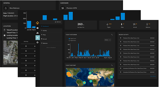
Site Scan for ArcGIS, part of the ArcGIS Reality suite of products, is the end-to-end, cloud-based drone mapping software that revolutionizes drone imagery data collection, processing, and analysis. Maintain a complete picture of your drone inventory and flight history with automatic fleet management. Stay up-to-date with accurate imagery, using repeatable flight plans that ensure high-quality data capture when flying your drones.

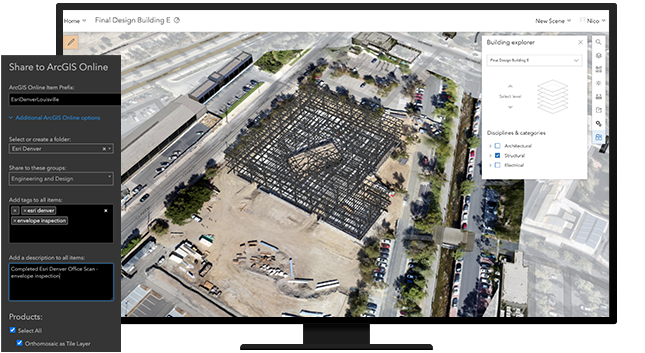
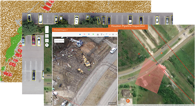
Securely process imagery in a scalable cloud environment to create high-quality 2D and 3D imagery products that can be quickly shared throughout your organization, on any device. Save time by using the measurement and analysis tools to get the answers you need from your data. Directly publish your drone data to your ArcGIS organization to perform advanced drone analytics such as object detection and application of artificial intelligence (AI).

Download product overview PDF

Reality Capture and Site Scan for ArcGIS

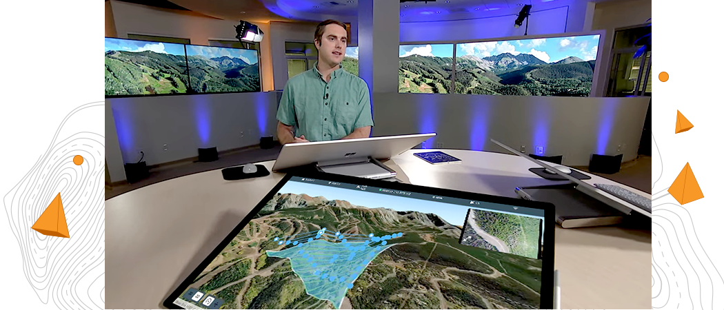
Man standing at a large round table in front of a large computer monitor with 2 large TV monitors showing a digital 3D image

Complete drone mapping software in the cloud

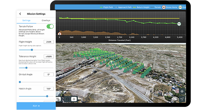
Plan autonomous drone flights in 3D

Increase efficiency by creating and sharing advanced 3D flight plans with your pilots. Overlay 2D and 3D data from ArcGIS Online and ArcGIS Enterprise for enhanced flight safety and data quality. Manage your data in the field and upload it to the cloud.

Download the ArcGIS Flight app
Ipad screen of a flight plan with terrain follow feature enabled showing the profile view of the flight

How it works

Plan

Plan the optimal flight path. For enhanced safety and planning accuracy, import layers and 3D models from previous flights or ArcGIS Online.

Execute autonomous flight

Complete your preflight checklist and execute an autonomous drone flight.

Upload and process in the cloud

After the flight is complete, upload your data for cloud processing and mark ground control points manually or automatically using computer vision.

Visualize, analyze, and share

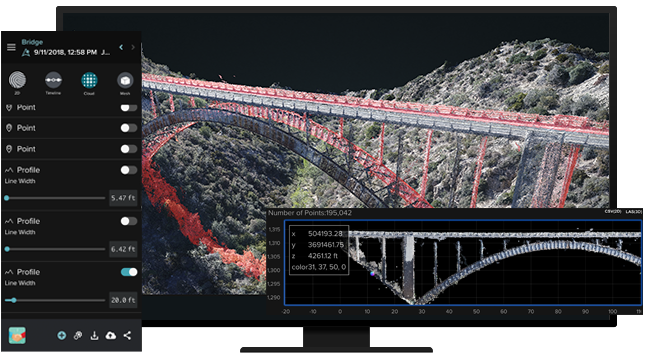
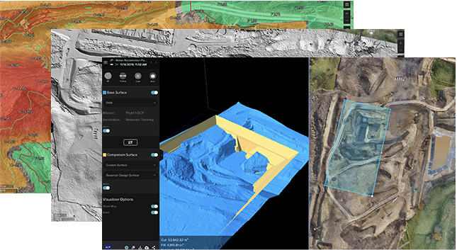
View 2D and 3D outputs on the web. Make measurements, track changes, and perform other analyses. Invite your team to view project data and results.

Publish content and perform advanced analysis

Export in formats you need, publish to your ArcGIS organization for advanced analysis such as deep learning workflows, or push to Autodesk BIM 360.

Recommended drones

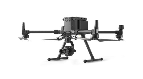
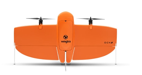
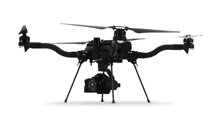
Site Scan for ArcGIS supports the processing of virtually any georeferenced image captured by a drone, whether you use ArcGIS Flight or a different flight planning app. Learn more about which drones work with ArcGIS Flight for flight planning and drone data capture.

Previous
Next
Explore supported drones

Case Study

GIS and drones enhance county planning

GIS and drone technology are enhancing municipal planning and operations in Salt Lake County, offering insights into modern urban management.

Read the case study

ArcGIS Reality Product Suite

Explore the software applications that are a part of ArcGIS Reality. Find the reality mapping software that fits the size of your projects and the sensors you work with.

ArcGIS Reality for ArcGIS Pro

ArcGIS Reality for ArcGIS Pro

Use this extension to generate large-scale true orthos and 3D meshes from drone and aerial sensors in ArcGIS Pro.

Explore the extension
ArcGIS Reality Studio

ArcGIS Reality Studio

Explore this scalable, stand-alone application for citywide and countrywide reality mapping to create an important piece of 3D digital twins.

Explore ArcGIS Reality Studio
ArcGIS Drone2Map

ArcGIS Drone2Map

Process drone imagery while offline or in the field. Turn recently collected drone images into 2D and 3D models, even without an internet connection.

Explore ArcGIS Drone2Map

ArcGIS Reality and digital twins

Digital twins are representations of real-world objects and their processes and relationships. With ArcGIS Reality, users create highly accurate 3D meshes, true orthos, and point clouds to use as an important piece when developing 3D digital twins of social, natural, and built environments. Learn more about Esri’s 3D capabilities and how they relate to a comprehensive digital twin.

Learn more about digital twins
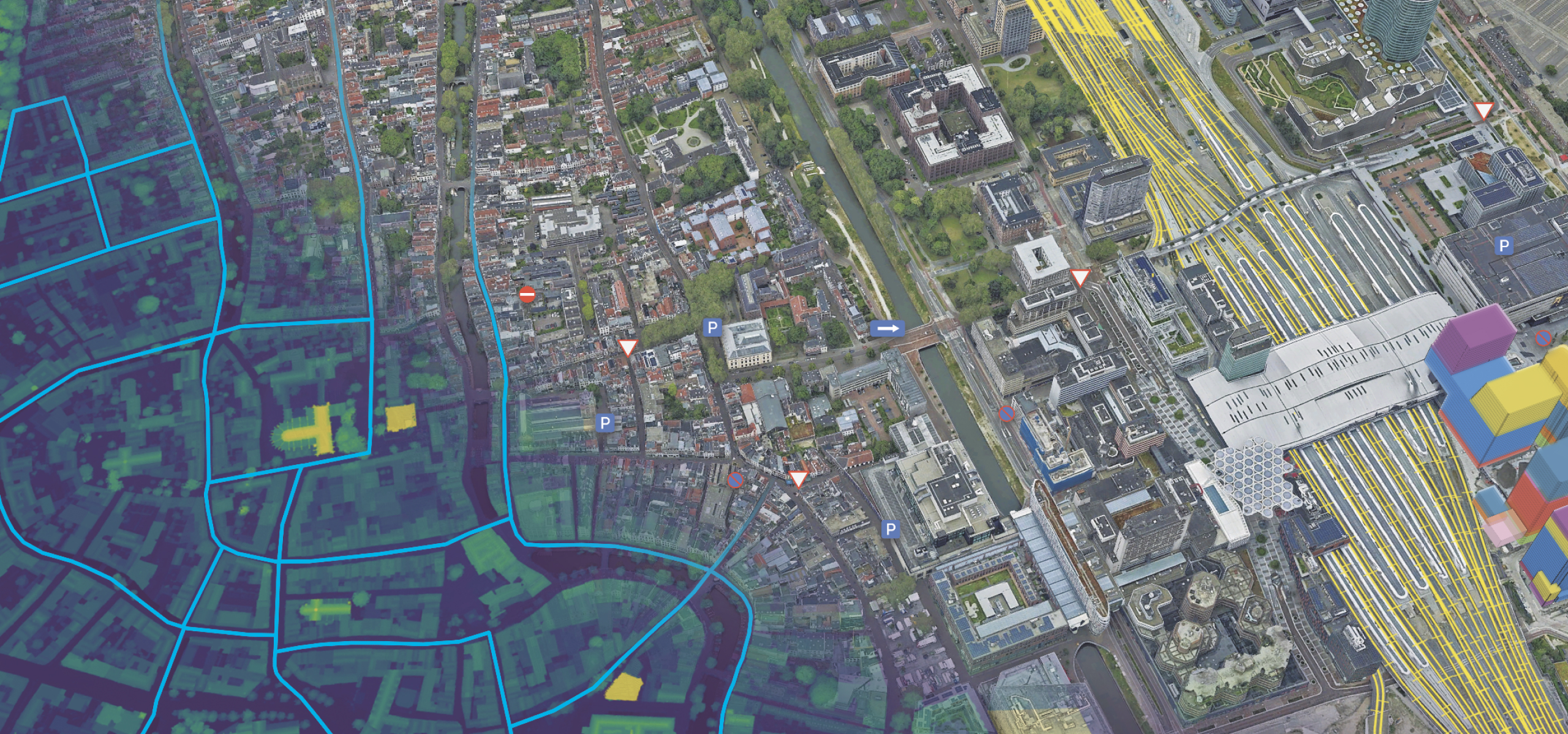
3D mesh of a city showing buildings, roads, and green land overlayed with underground data and street data layers
person-administrator-64

Contact sales


Talk to someone on our sales team

1-800-447-9778

7:00 a.m.–5:00 p.m., Monday through Friday (PT)

Outside the US?