Rapid entity extraction from anywhere
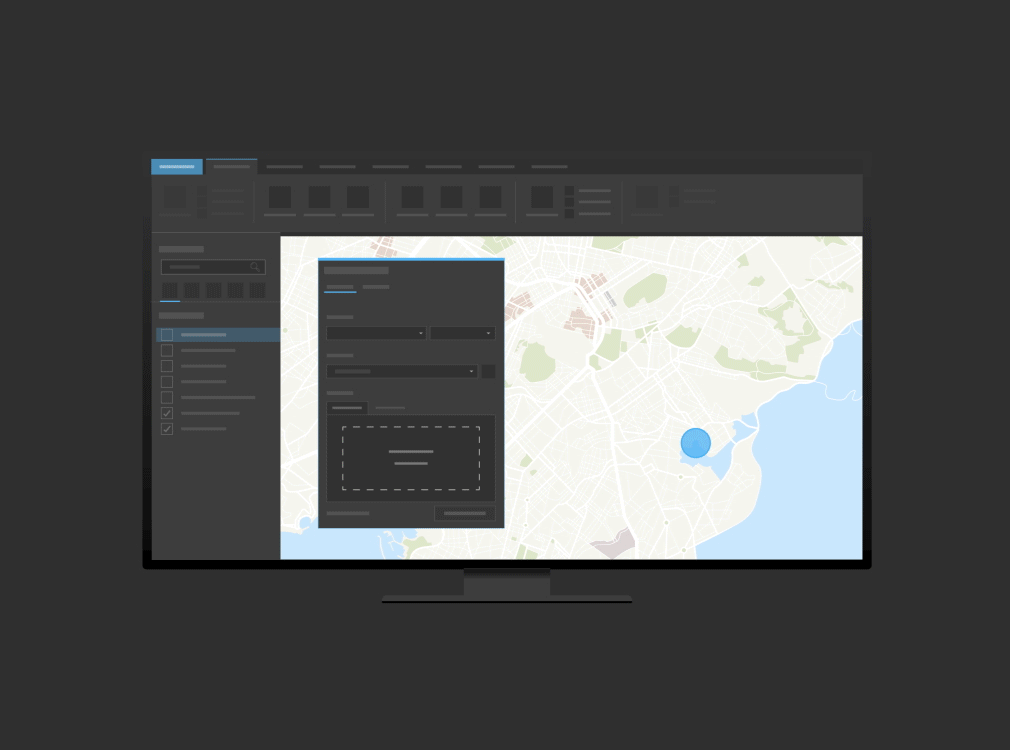
Extract location data from intelligence reports, social media, and more. Discover and reveal geocoordinates, place-names, image geotags, dates, and other critical information from unstructured data. Identify and extract thousands of variations of geocoordinate formats. Publish in ArcGIS and use in ArcGIS apps to analyze relationships.