Support for mapping and location-based applications
Develop with Esri’s location services. Create and display maps, visualize and enrich data, find places, geocode addresses, generate routes, and perform mapping operations.
Build powerful mapping solutions with Esri’s comprehensive suite of location services
Develop with Esri’s location services. Create and display maps, visualize and enrich data, find places, geocode addresses, generate routes, and perform mapping operations.
Access a full suite of location services that provide basemap layers, geocoding, routing capabilities, points of interest, and other geospatial functionalities.
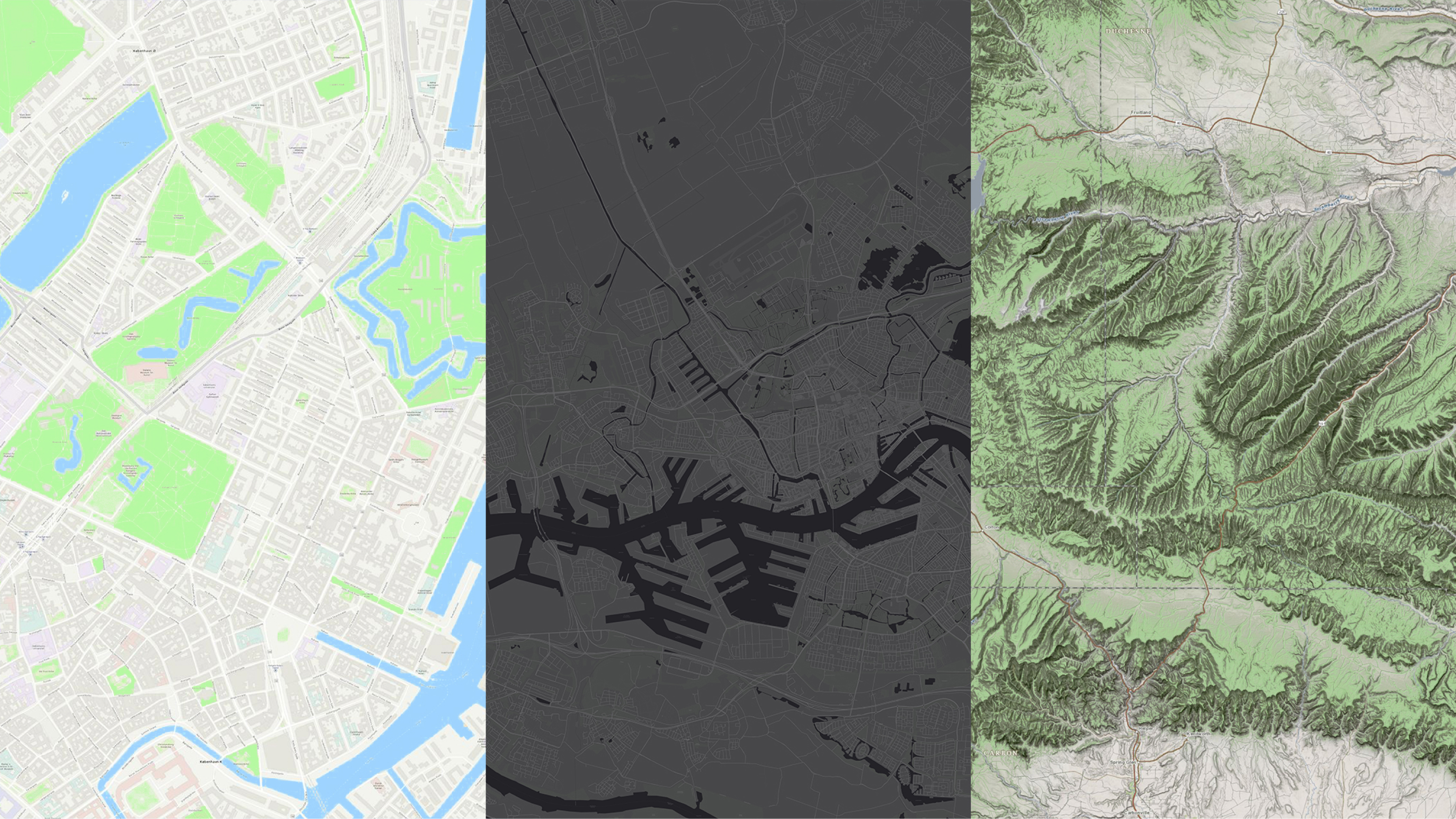
Discover ready-to-use maps in a variety of styles and add geographic context to your maps or scenes. You can also create your own custom basemap layer styles.
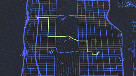
Find routes and directions and conduct advanced analyses on street networks. Address complex issues such as optimizing routes for multiple destinations, locating the nearest facility, or managing a fleet for order deliveries.
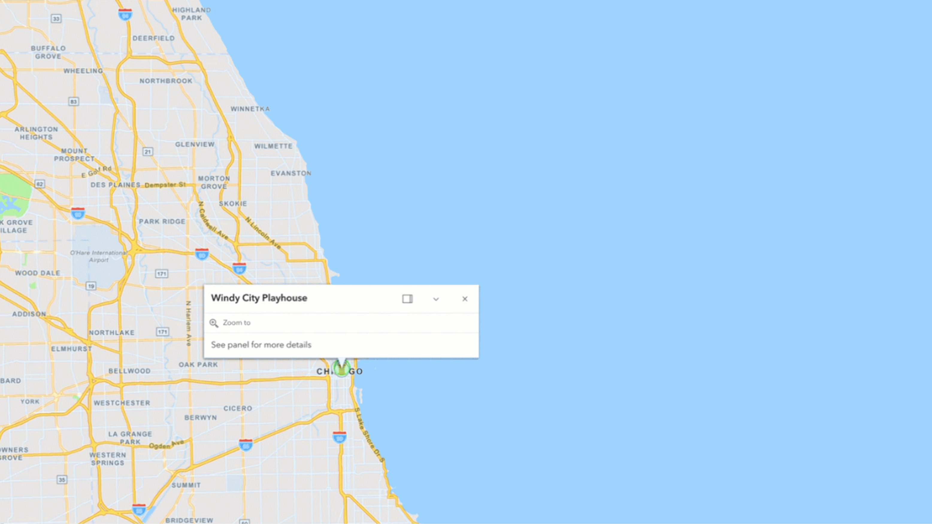
Explore nearby places or search within a specific area. Develop powerful applications that enable users to find, discover, and gain insights into various locations around the world.
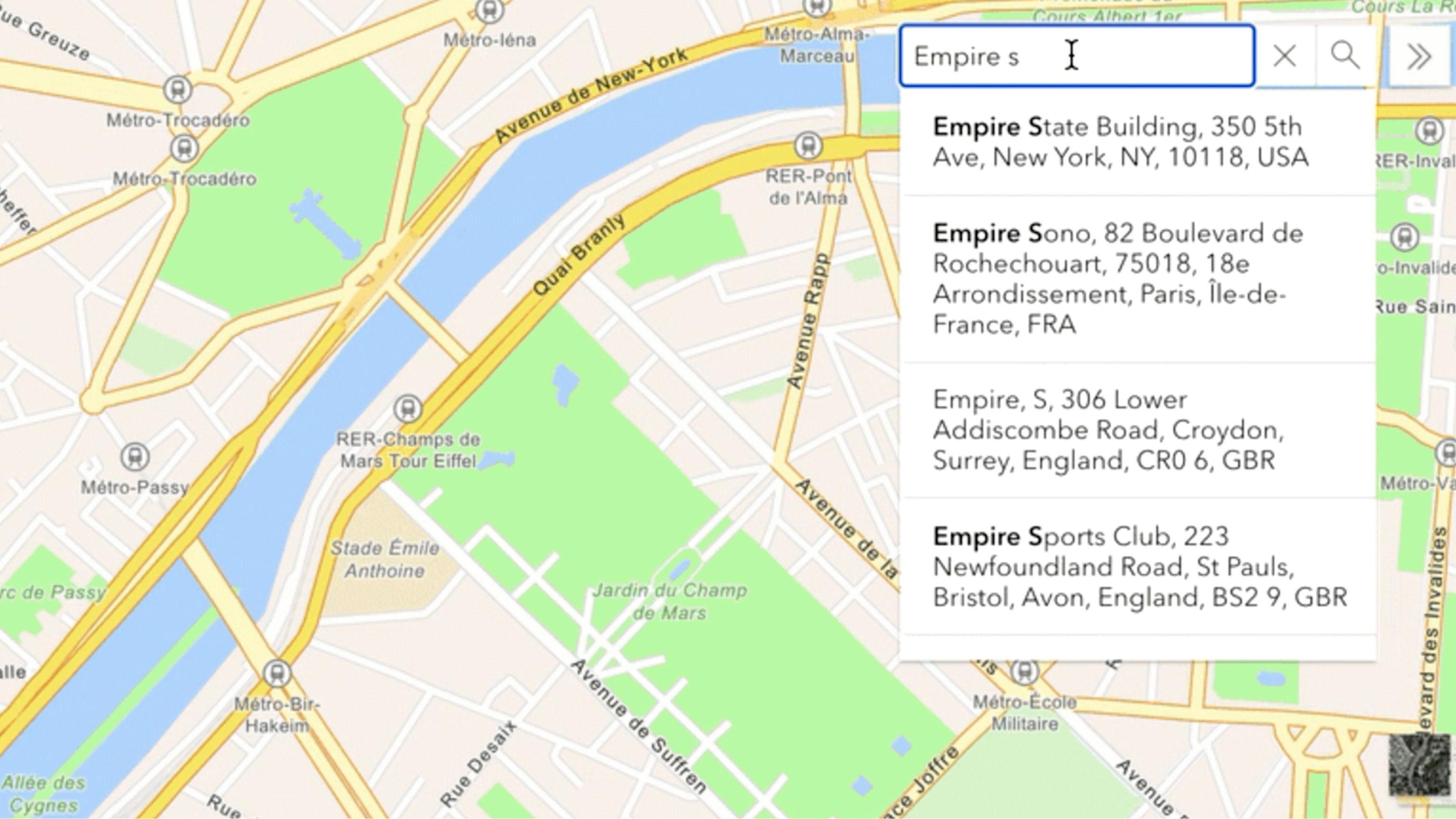
Find addresses, businesses, and places worldwide. Convert addresses to location candidates or location candidates back into addresses. Geocode multiple addresses at once with Esri’s efficient geocoding service.
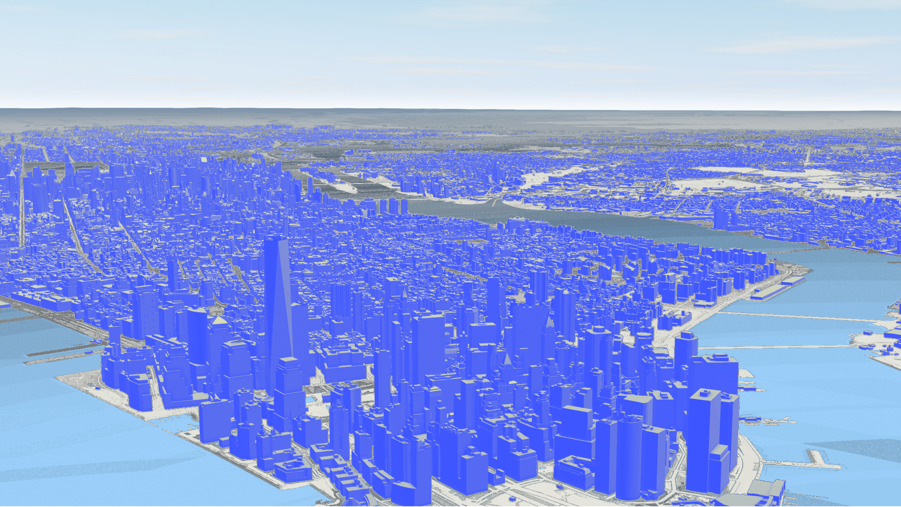
Discover demographic data and local facts for locations worldwide. With data enrichment tools, you can add more context to your map to enhance your understanding of any area.
ArcGIS Location Services can be accessed through various APIs, allowing you to display maps, style layers, search for locations, geocode addresses, and discover routes. You can also engage in more complex tasks such as data enrichment or spatial analysis.
Implement a tailored basemap color scheme in your mapping application to spotlight or downplay features that align with your brand's colors and style.
Leverage Esri’s routing service to build applications that identify the shortest path from start to finish, navigate the fastest routes to multiple destinations, and deliver driving directions in multiple languages.
Use the Places service to search for locations nearby or within a specific area. Access over 1,000 categories and refine searches with custom text. Discover key details such as addresses, contact information, and ratings to enhance your app and help users explore their surroundings.
A beige map with a blue river, green land, and search results for a hotel in San Diego.
Use Esri’s geocoding service to convert text into addresses and locations, search addresses, reverse geocode, find matches, get suggestions, and batch geocode.
ArcGIS GeoEnrichment enhances understanding by integrating global and local demographic data, aiding in insightful analysis and decision-making.
Explore the fundamentals of developing with our foundational products. Find out which product best suits your needs.
ArcGIS Location Platform is a platform as a service (PaaS) for developers building mapping and spatial applications. It provides easy access to location and spatial analysis services and is ideal for building public-facing applications that do not require users to sign in.
A software as a service (SaaS) that developers in an organization use to build private or public low-code/no-code applications, custom mapping applications, or spatial analysis applications. Applications, content, and data can be accessed privately by members of the organization.
ArcGIS Enterprise is server software for geographic information system (GIS) that powers mapping and visualization, analytics, and data management that can also be extended by developers. Use the ArcGIS low-code/no-code app builders to create, configure, and share mapping applications within your organization. Use APIs to administer, manage, and extend your enterprise.
ArcGIS Pro is a professional GIS Windows desktop application that developers can customize with add-ins and configurations to meet organizational requirements. Enhance ArcGIS Pro with the ArcGIS Pro SDK for .NET by creating new tools and workflows, customizing the user interface (UI), integrating unique data formats, and more.
7:00 a.m.–5:00 p.m., Monday through Friday (PT)
Start a chat
Fill out the contact form