Streamline the editing process
Commonly used editing tools are now together in one easy-to-use app, improving efficiency and reducing the number of clicks in your workflow.

Included with ArcGIS user types
GIS data editing made easy
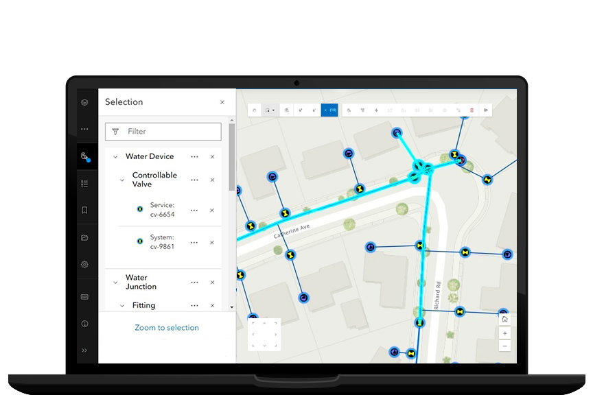
ArcGIS Web Editor works in any browser so you can edit data from anywhere.
Designed specifically for performing editing workflows, ArcGIS Web Editor brings all the most commonly used editing tools into one convenient app so they are easier to find and use.
No installation required
ArcGIS Web Editor is conveniently available on any browser, so there is no need for manual software upgrades. Eliminate the time previously spent updating individual machines.

Feel confident your data is accurate
ArcGIS Web Editor auto-populates values to reduce manual keyboard entry and enforces your organization’s data rules to ensure you enter and edit data accurately from the start.

Focus on what matters
ArcGIS Web Editor is designed specifically for performing editing workflows. With all your editing tools in one place, you’ll spend less time searching for the tools you need.

Find answers, get connected, and learn about the latest in ArcGIS Web Editor.
ArcGIS provides a comprehensive set of capabilities for creating, managing, analyzing, and mapping geographic information. Gain access to the capabilities of this application, included in ArcGIS, with user types. Match user types to roles within your organization.
