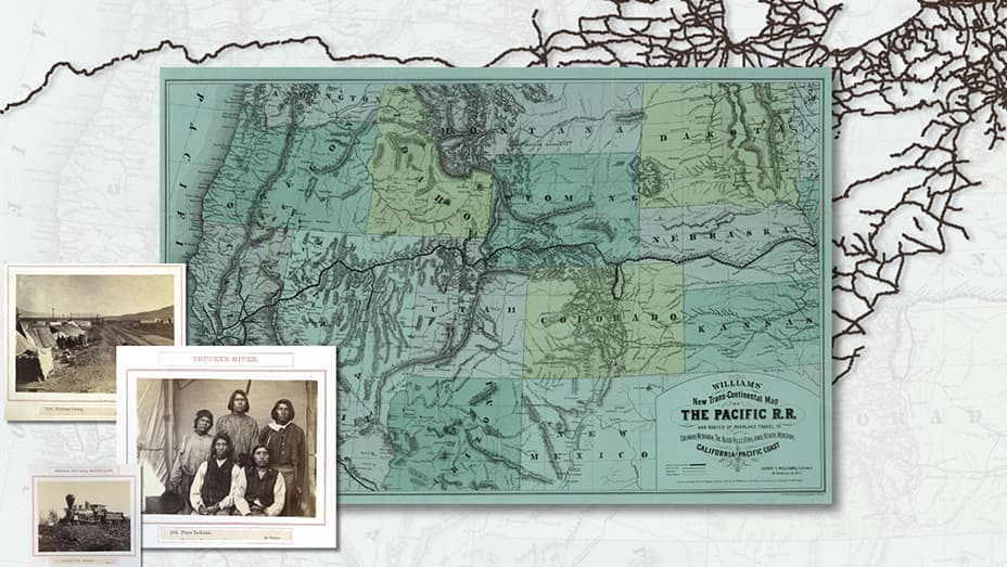
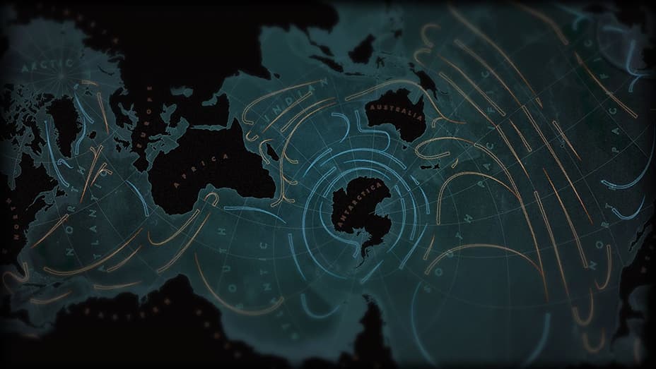
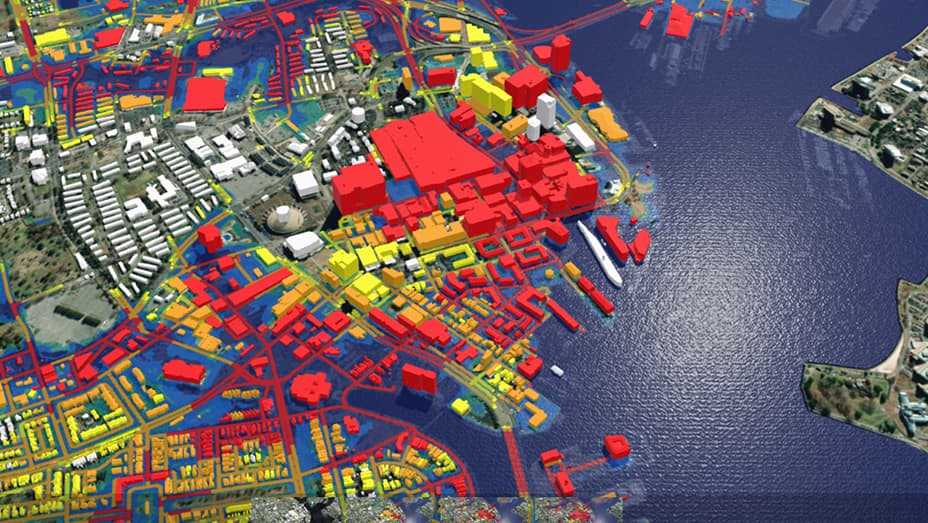
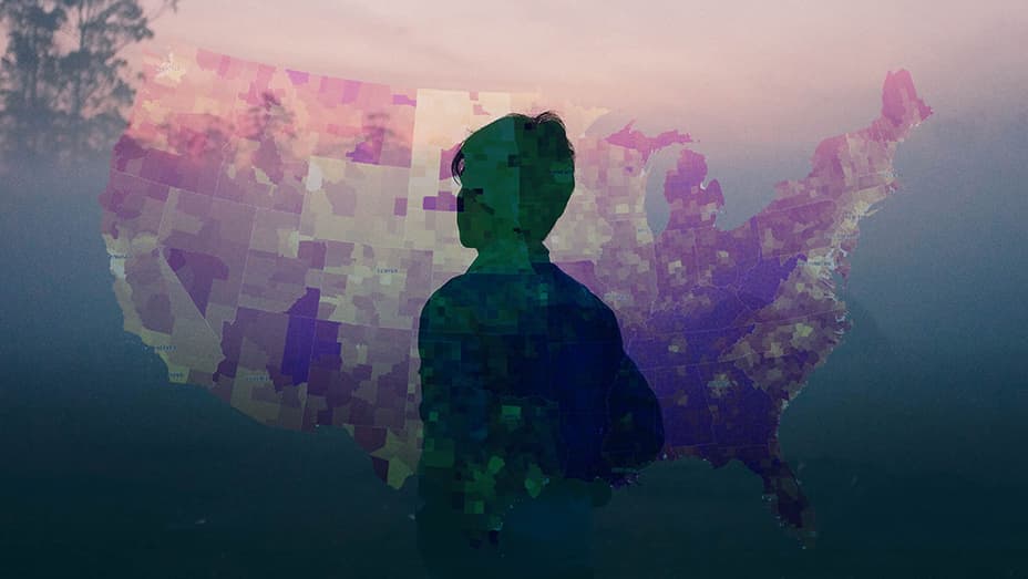
2024 ArcGIS StoryMaps Competition

Storytelling For a Better World

Submit your stories through December 6, 2024.

Read the announcement story
Montage of a green parrot head, green map polygons, green wavy lines, and a dark-haired woman wearing green flower jewelry

Global storytelling competition

Esri is pleased to announce the 2024 ArcGIS StoryMaps Competition.

Previous
Next
Vista of green terraced fields with a house, a stand of trees on a hilltop, and a woman carrying a child on her back

Tell a story about the world you want to see

Use your unique talents—from cartography and data analysis to photography and design—to tell a story with ArcGIS StoryMaps. Then submit it to the 2024 ArcGIS StoryMaps Competition for global recognition.

For this year's competition, Esri invites you and storytellers worldwide to submit a story in one of five categories:

  • Digital humanities and popular culture
  • Health and safety
  • Humanitarian and disaster response
  • Nature and physical science
  • Planning and infrastructure

Visit the 2024 ArcGIS StoryMaps hub for helpful resources and inspirational stories for each competition category.

Visit the hub

Key dates and submission deadlines

SUBMISSION DEADLINE

  • December 6, 2024, 5:00 p.m. (PT)

FINALISTS ANNOUNCED

  • February 12, 2025

WINNERS ANNOUNCED

  • April 22, 2025

Follow @ArcGISStoryMaps on X for ongoing competition resources and announcements.

,Computer monitor showing a darkened globe overlaid with orange lines

Recognition

All winners will:

  • Receive an Esri certificate and social media badges
  • Be featured on the Esri website and social media platforms and in an interview 

All special award winners will also receive an award at Esri’s 2025 User Conference.

The Storytelling with Maps Innovation Award winner also may accept a voucher ($250 value) for an Esri Technical Certification Exam

A tablet next to a smart phone and both have the same street map on them,A tablet next to a smart phone and both have the same street map on them

Requirements

Applicants 18 years and older globally may enter the competition once in one of five categories:

  1. Digital humanities and popular culture
  2. Health and safety
  3. Humanitarian and disaster response
  4. Nature and physical science
  5. Planning and infrastructure

Each track will include a student category for judging purposes.

An applicant may be an individual or a group submitting one entry.

A multi-colored map with home sales metrics to the right and bar graphs on the bottom of the screen,A computer monitor displaying an ArcGIS StoryMaps story with a bar graph on a blue background about coastal sea levels

Judging criteria

Esri will select up to 15 finalists for each category. From the finalists, guest judging organizations will select a winner and a student winner in each category. 

The following awards will also be selected from the finalists:

  • Grand Prize Competition Award Winner and Student Winner
  • The Community Choice Award Winner
  • The Storytelling with Maps Innovation Award Winner

Entries must be built using ArcGIS StoryMaps.

Density Management with ArcGIS Indoors dashboard with a map and metrics,A computer monitor displaying an image of a woman on a boat in the ocean with text next to it about marine traffic patterns

Terms and conditions

By entering the ArcGIS StoryMaps competition, you must agree to the terms and conditions.

Review terms and conditions
,A computer monitor displaying a story of biodiversity showing a digital image of land and routes highlighted with green lines

Meet the judging organizations

New this year, Esri is teaming up with five organizations, all subject-matter experts in their respective fields. Each organization will select the winner and student winner of one competition category.

  • Old map overlaid with two sepia-toned photographs

    Stanford Libraries Map and GIS Team

    Digital humanities and popular culture

    David Rumsey Map Center, Stanford Geospatial Center, and Branner Library Map Collections provide map and GIS services at Stanford Libraries.
  • Line of silhouetted people moving right to left against a cloudy deep red sky

    United Nations High Commissioner for Refugees

    Humanitarian and disaster response

    The UNHCR or UN Refugee Agency provides and coordinates international relief for refugees and displaced people.
  • Dark world map overlaid with swirls of lighter color

    International Union for Conservation of Nature

    Nature and physical science

    IUCN—the world’s largest environmental network—encourages and assists societies to conserve the integrity and diversity of nature equitably.
  • 3D layout of a city on the water as viewed from above

    Old Dominion University

    Planning and infrastructure

    The ODU Center for Geospatial Science, Education, & Analytics uses geospatial expertise and technology to develop location intelligence research.
  • Person silhouetted against a multicolored map of the United States

    San Bernardino County Public Health

    Health and safety

    San Bernardino County Department of Public Health collaboratively promotes, improves, and protects health, wellness, safety, and quality of life.
Previous
Next
Explore categories and judges

Get inspiration for your story

Browse the 2023 winners

Visit the gallery

Build your story with ArcGIS StoryMaps

Sign in with an ArcGIS account

Don't have an Esri account?

Create one now