Aggregate and normalize
Uncover patterns in large datasets by applying filters and simplifying, aggregating, and enriching data.
Reveal powerful insights within your apps

ArcGIS Location Platform offers a comprehensive set of spatial analytics tools for your apps. Discover some popular ways to use these tools.
Uncover patterns in large datasets by applying filters and simplifying, aggregating, and enriching data.

Perform powerful spatial operations—such as point in polygon, line crosses polygon, or polygon within a polygon—to find data that matches your criteria.

Combine buffer, distance, and network analysis to solve complex routing problems.

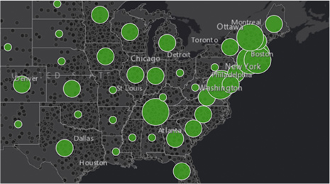
Identify, quantify, and find visual spatial patterns in your data.

Use the Geometry Engine (client-side) and the Geometry Service (server-side) to perform advanced geometric and spatial relationship operations on points, lines, and polygons.

View, project, and perform spatial analyses on your data in any coordinate system with the Geometry Engine (client-side) and the Geometry Service (server-side).
Create your account and take advantage of the free tier to access all the features and services of ArcGIS Location Platform. Then, pay only for what you consume with Esri’s pay-as-you-go model.