Understand geographic context
Basemaps serve as a foundational layer in your applications. Choose from dozens of prestyled basemaps designed by Esri’s team of professional cartographers.
Ready-to-use digital maps for your apps
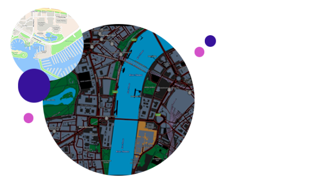
Select a map that meets your needs. Basemaps are interactive and authoritative, including styles that represent topographic features, road networks, footpaths, building footprints, water features, administrative boundaries, and satellite imagery.

Quickly add Esri basemaps to your applications. Maps are optimized for web, mobile, and desktop applications.

Ready-to-use maps that give you the ability to localize place labels for any basemap style in the language of your choice.

Enhance the interactivity and accessibility of maps within your applications with the ArcGIS Static Basemap Tiles service. This service enables you to build apps that display rasterized basemap tiles in PNG format, include labels based on your preferred language, and choose from a variety of basemap styles to meet your development needs.

Create your account and take advantage of the free tier to access all the features and services of ArcGIS Location Platform. Then, pay only for what you consume with Esri’s pay-as-you-go model.