See all your project activity on one map
Explore and browse project data, issues, and documents in a geospatial context through an easy-to-use web app.

Included with ArcGIS user types
Add geospatial context to Autodesk projects
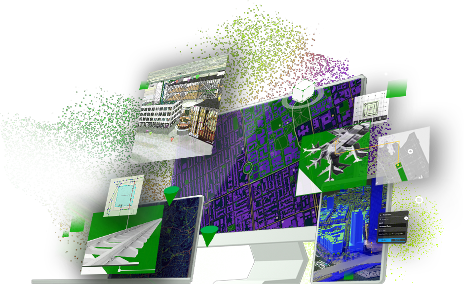
ArcGIS GeoBIM delivers a connected data environment that seamlessly links architecture, engineering, and construction (AEC) information in Autodesk Construction Cloud with geospatial data and services in ArcGIS. By bringing these tools together, teams can smoothly collaborate from initial design through operations—empowering better decisions and results.
Create maps, apps, and dashboards that keep your team connected with real-time updates and streamlined communication.

Explore and browse project data, issues, and documents in a geospatial context through an easy-to-use web app.
Keep your documents and data organized in the original source locations and access your GIS and BIM project content through a common web-based app experience.

Reduce the need to continually convert your data by directly linking to BIM projects, data, and documents stored on separate systems.

Share easy-to-use ArcGIS GeoBIM apps with stakeholders to enable them to explore project information and issues.


Simplify how teams view, manage, and access project data across multiple locations.
Access GIS and BIM data in a single user experience.
Keep your data in the systems where it was created and reduce the need to convert models throughout the project life cycle.
Visualize activities for project data, such as issue completion, timelines, and asset locations, through dashboards.
ArcNews
Rovella INMAC Consortium connects teams and contractors to up-to-date design and construction data for rebuilding infrastructure damaged by El Niño.
TESTIMONIAL
From a client perspective, the biggest benefit is to access BIM and GIS in an easy way.
François Appéré
Global Autodesk Platform Director, Arcadis
TESTIMONIAL
The combination of BIM and GIS is a no brainer. With ArcGIS GeoBIM, we can have it available out of the box.
Jeroen Tishauser
Information Manager, VolkerWessels
Ebook
Infrastructure project planning and delivery are changing. Learn how major AEC firms are bringing GIS and BIM together to streamline project delivery.
CASE STUDY
Esri’s ArcGIS GeoBIM connection to the Autodesk Construction Cloud blends survey and design workflows that offer that first step to a better GIS to BIM
Darin Welch
HNTB, Associate VP & National Geospatial & Virtual Engagement Manager
ARCNEWS
HNTB uses ArcGIS GeoBIM with ArcGIS Velocity for the Walk Bridge project to monitor critical metrics during and after construction.
Esri and Autodesk are industry leaders that are working together to put GIS and BIM data at the center of projects. The shared vision is an integrated and collaborative workflow that connects data sources and improves understanding projects in context, reduces inefficiencies, and delivers more sustainable resilient infrastructure.

Connect workflows, teams, and data at every stage of the design and construction process to reduce risk, maximize efficiency, and increase profits.

Connect decision-makers and construction teams to manage design reviews and automate model coordination with trades. Easily track all design, coordination, quality, safety, and commissioning issues by linking data from Autodesk BIM Collaborate Pro with ArcGIS GeoBIM.
Esri’s open vision and ArcGIS
ArcGIS provides a comprehensive set of capabilities for creating, managing, analyzing, and mapping geographic information. Gain access to the capabilities of this application, included in ArcGIS, with user types. Match user types to roles within your organization.

7:00 a.m.–5:00 p.m., Monday through Friday (PT)
Start a chat
Fill out the contact form