
Tutorial series
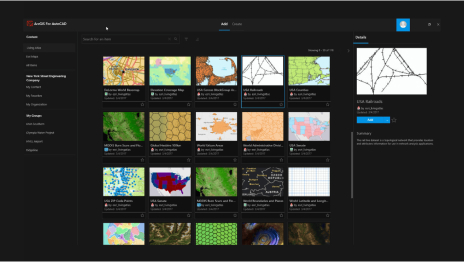
Get started with ArcGIS for AutoCAD
Learn the basics of ArcGIS for AutoCAD and dive into some of its powerful capabilities.
Experience what's possible with ArcGIS for AutoCAD through a curated series of tutorials.
Get started with ArcGIS for AutoCAD

Advance your CAD and GIS collaboration

Get started with ArcGIS for AutoCAD in Civil 3D

Prepare CAD floor plans for indoor mapping
Read articles from the ArcGIS for AutoCAD team. Connect to ask questions and learn more.
Stay informed about the latest releases of ArcGIS for AutoCAD and get started quickly with helpful tutorials.
Discover recently added capabilities.

CAD and GIS working together
Enhancing CAD workflows with GIS

Streamline AEC project tasks

Easily edit and synchronize data

Connect GIS and CAD teams

Inform design by sharing data with field teams
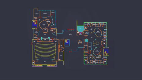
ArcGIS Indoors for AutoCAD

What’s new in ArcGIS for AutoCAD
Find answers and information so you can complete your projects.

Coordinate systems in ArcGIS for AutoCAD

Web feature layer templates

Branch versioning: An overview

Connect GIS and CAD with ArcGIS Parcel Fabric

Quick tips on GIS for AEC professionals
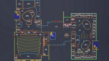
ArcGIS Indoors for AutoCAD
This plug-in app built for Autodesk AutoCAD and Civil 3D is available at no cost. Pair it with ArcGIS user types to access additional features, services, and data.