National Mapping Strategies with ArcGIS Pro
Discover strategies for transitioning your data and map production workflows from ArcMap to ArcGIS Pro.
ArcGIS Defense Mapping Webinars
Unlock the power of advanced, defense standards-specific data and cartographic workflows for your organization.

Explore how ArcGIS Defense Mapping streamlines GIS production for defense mapping agencies and contractors through Esri’s webinar resources. Learn how to automate production processes from start to finish and discover powerful data and map production capabilities within ArcGIS.
National Mapping Strategies with ArcGIS Pro

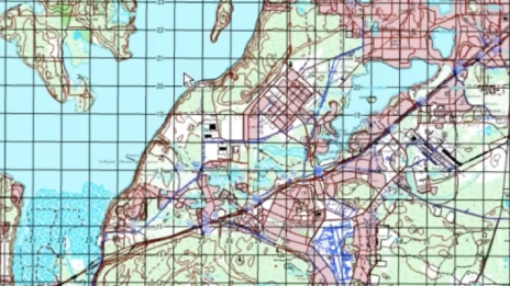
Automating Topographic Data Production

Automating Topographic Map Production