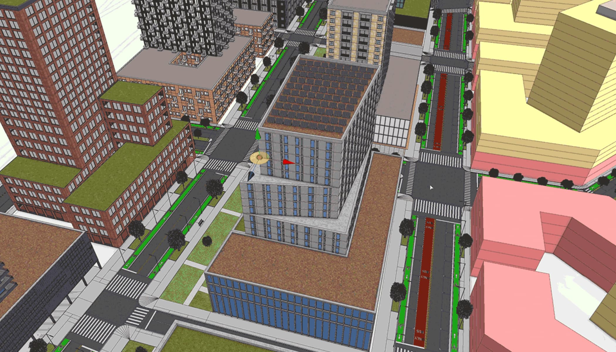
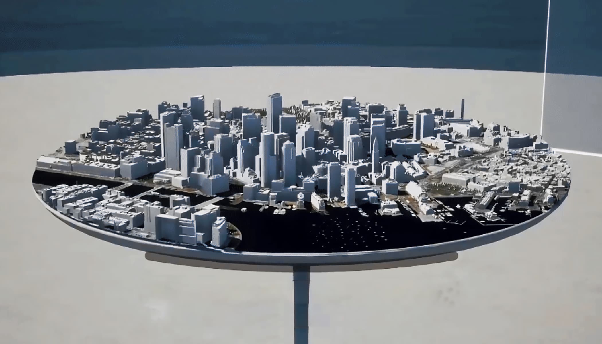
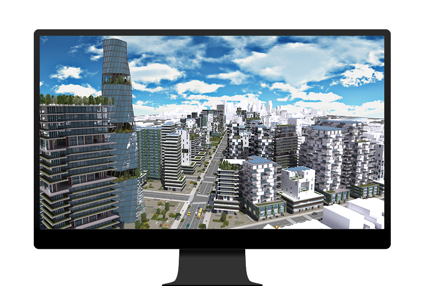
ArcGIS CityEngine

A modern 3D city design solution

Sign up for a free trial

3D GIS for urban design

ArcGIS CityEngine is a procedural 3D city generator for creating and iterating on urban environments and scenarios using either synthetic or real-world geographic information system (GIS) data. 

An essential tool for urban designers, planners, architects, and 3D artists, CityEngine powers rapid adjustments to the architectural style, or other features, of an urban environment to support more efficient and streamlined workflows.

An innovative approach to urban design

Discover how ArcGIS CityEngine can help optimize your typical workflows in urban design and planning, architecture, and 3D immersive experiences.

Previous
Next

Bring 3D urban environments to life

Use CityEngine to push the boundaries of what’s possible for urban design.

Start small, then go big

Create and scale urban models in context, regardless of size, scope, or level of detail. Build out procedural models from simple designs and add details as your project develops and additional requirements are added.

An aerial view of a futuristic city with tall buildings and solar panels, with a central hub connected by thoroughfares

Video

Shaping the cities of the future

Foster + Partners is using ArcGIS CityEngine to redefine how we live in one of their largest urban design projects—a blueprint for a new city.

Integrated with ArcGIS

ArcGIS CityEngine is now available through user types, making it easier than ever to incorporate into your existing ArcGIS environment. Share and collaborate on projects and connect to products such as ArcGIS Urban to optimize workflows.

Go to buying options
Explore user types
An image of earth with a white puzzle piece icon in the center, surrounded by a network of white icons in circles connected by a line

Contact sales

Talk to someone on our sales team

800-447-9778

7:00 a.m.–5:00 p.m., Monday through Friday (PT)

Contact the sales team

Fill out the contact form