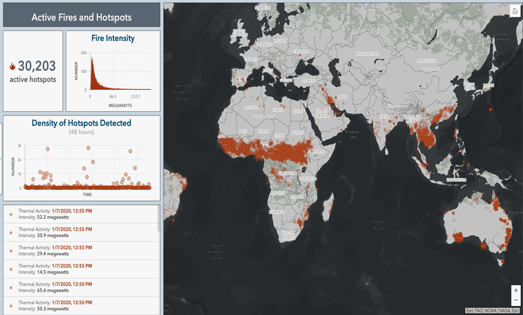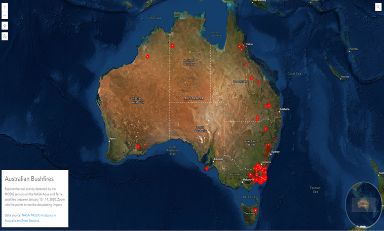
Cool Maps
A collection of maps that use the Esri Mapping Platform to show how solutions can be enriched with the power of location.


These web applications let you take a close-up look at science topics and observations around the world.
Cool Maps
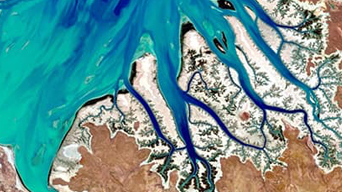
Landsat Explorer
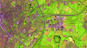
Sentinel Explorer

World Imagery Wayback
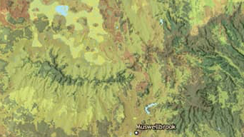
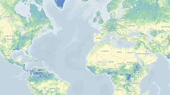
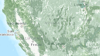
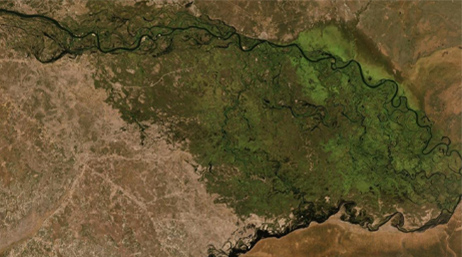
Ecological Tapestry of the World
Ecological Marine Unit Explorer
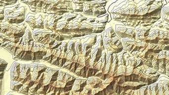
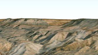
Arctic DEM Explorer
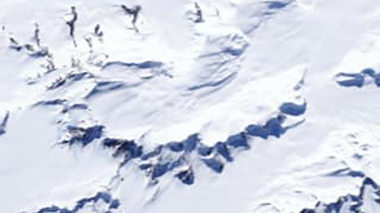
Antarctic REMA Explorer
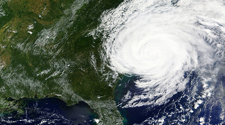
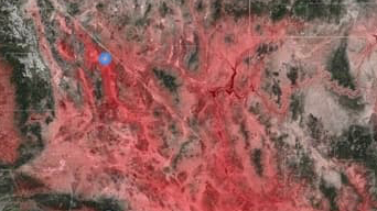
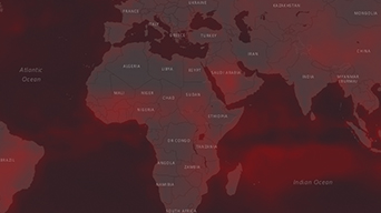
Hurricane Aware
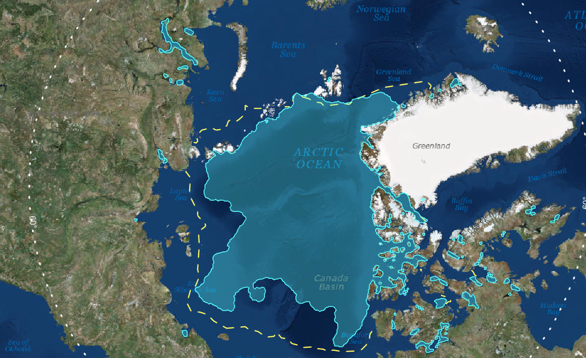
Sea Ice Aware
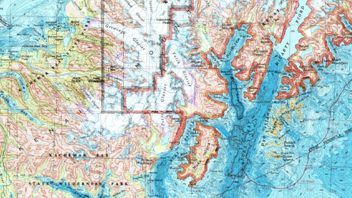
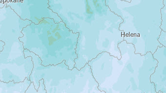
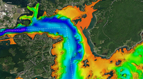
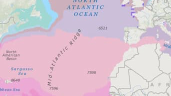
Topobathy Explorer

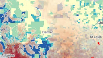
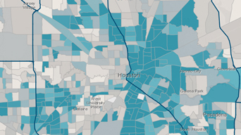
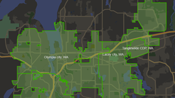
Manhattan Population Viewer
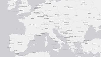
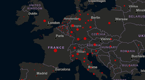
European Climate Adapt Viewer

Explore Mars

US High Tide Flooding Probability Scenarios