Planning
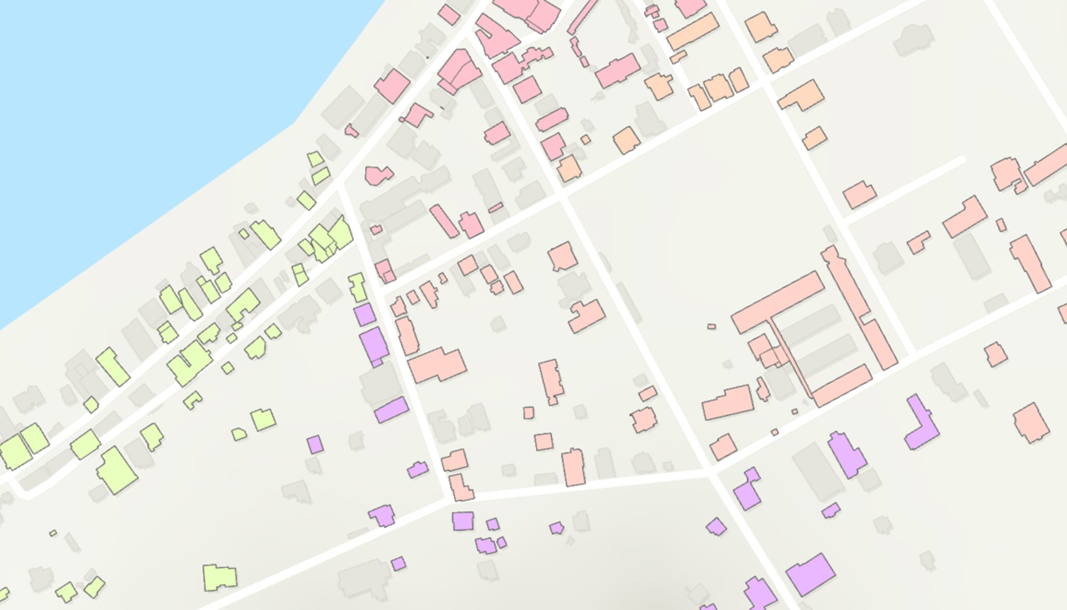
Make the most of your resources by using GIS to optimize your work. Coordinated planning with GIS enables more accurate census data collection and operations management.
A discounted program with software, training, and content for statistics and census organizations.
Effective governance demands better information. Population and housing censuses provide data needed for formulating, implementing, and monitoring policies for inclusive socioeconomic development and sustainability. By incorporating geospatial technologies and geographic information systems, you can improve every stage of the census process.
ArcGIS provides a complete platform for official statistics, equipping your organization with powerful tools for planning, conducting field data collections, monitoring operations, performing analysis, and rapidly disseminating authoritative data.
Learn how National Statistical Organizations (NSOs) can leverage ArcGIS technology for census and statistical operations.
Powering the Generic Statistical Business Process Model (GSBPM) with GIS enables statistical organizations to streamline processes across the entire data life cycle, from planning to dissemination.
Make the most of your resources by using GIS to optimize your work. Coordinated planning with GIS enables more accurate census data collection and operations management.
Optimize field data collection through improved coordination, paperless operations, and automated workflows. Capture field data and location digitally, reducing scanning requirements and errors.
Leverage GIS data science capabilities, including big data processing, use of models, and analytical methods. Reveal unexplored spatial patterns, trends, and connections by analyzing data through its geographic location.
Serve and communicate with diverse users in today’s environment, from the public to academics, researchers, developers, and government agencies. Streamline access and secure sharing of your authoritative data with ArcGIS.
Organizations in the program are provided with access to tools, apps, and services to help them implement a location-based strategy within their community.
Esri software supports data visualization, advanced analysis, data maintenance, and sharing of results within an organization and with the public.
Esri provides authoritative and ready-to-use content, including datasets, basemaps, and apps that supplement existing geospatial data.
ArcGIS Solutions is a collection of industry-specific ArcGIS configurations to help you leverage your authoritative data and improve operations.
Esri offers many online and in-person resources, such as passes to the Esri User Conference, discounted training courses, and seminars.
Discover related resources at Esri that help support your work.
A comprehensive guide to transforming modern census operations through advanced GIS tools and methodologies.
Hands-on tutorials for modernizing statistical organization workflows across all stages of the census process.
Discover success stories, the latest news, and connect with industry experts.
If you are interested in finding out if you and your organization qualify, fill out the form to reach one of Esri’s sales representatives for more information.