Documentation
Find answers and information so you can complete your projects.
Scale image management and raster analytics across the enterprise
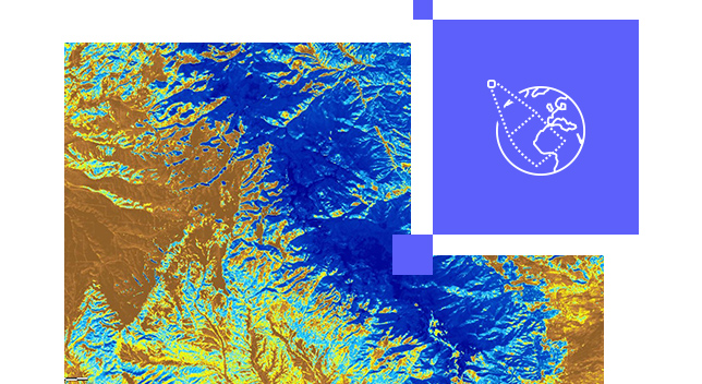
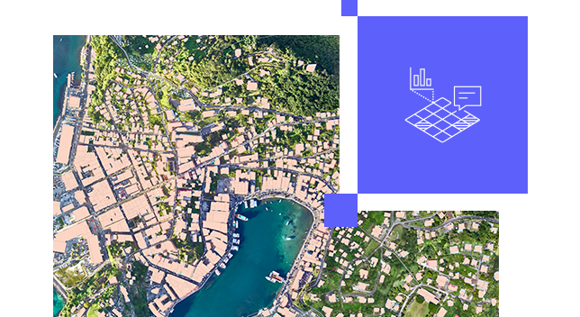
Collect, manage, and serve imagery from a wide range of sensors on platforms ranging from satellites, aircraft, and drones. Combine overlapping, time-variant imagery from multiple devices, sensors, resolutions, bands, and raster formats into a single image service.
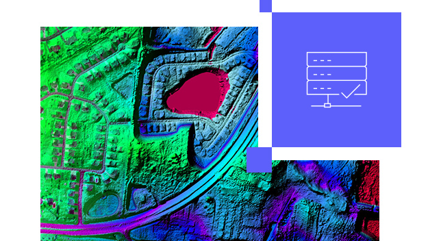
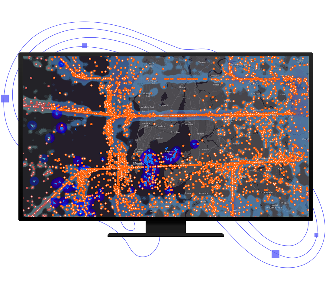
Raster analytics quickly extract information from massive image and raster collections. Large processing and analysis jobs are split to enable efficient use of parallel computing and distributed storage. Get fast results for computationally intensive tasks such as deep learning, hydrologic analyses, or temporal analysis of multidimensional data.
No matter the size and scale of your organization, ArcGIS is there to meet your imagery needs securely and reliably. Customize your deployment to fit existing infrastructure, comply with regulations, and support mission-critical workflows. Deploy on premises or using cloud investments such as Amazon Web Services (AWS) and Microsoft Azure.
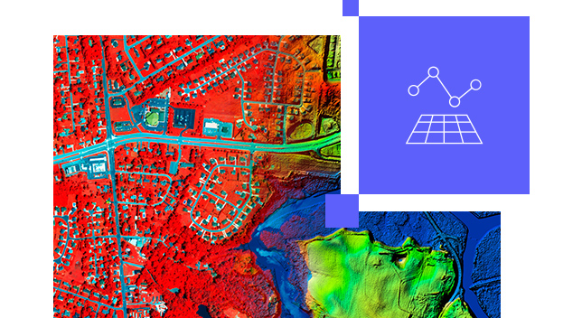
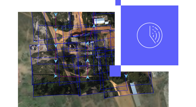
Quickly process hundreds or thousands of images collected by satellite, aerial, or drone sensors to create orthoimage mosaics, digital surface models (DSM), and digital terrain models (DTM). Create accurate maps for interpretation and analysis such as vegetation health and volumetric change.
Bring disparate teams together to perform deep learning tasks in a project-based, focused environment. Use intuitive editing tools to capture training data and leverage interactive dashboards to view the status and quality of captured data. Easily train deep learning models and run inferencing at scale, all through a web browser with no software installation.

Manage and host massive collections of imagery and raster data using your infrastructure—on premises, in the cloud, or as a hybrid deployment.
Make accessible massive imagery collections, including orthomosaics, multidimensional, categorical , elevation data, and imagery from sensors.
Use an extensive suite of raster functions, tools, templates, and APIs to power your raster analytics.
ArcGIS Image Server extends ArcGIS Enterprise with image management and raster analytic capabilities. It provides a distributed computing and storage system that powers the analytical processing and serving of imagery, elevation, rasters, and other remotely sensed data.
Please share your information, and our sales team will contact you soon. We look forward to communicating with you.