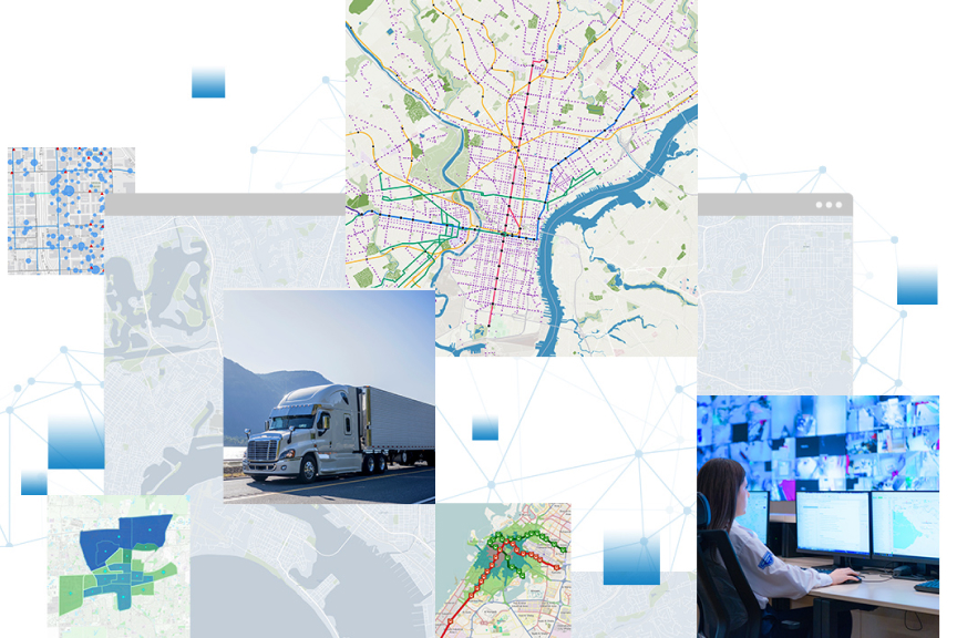
Skip to Content

ArcGIS GeoEvent Server

Real-time mapping and analytics

Gain situational awareness of your real-time streaming data with ArcGIS GeoEvent Server, part of the Esri Geospatial Cloud. Whether you are tracking moving assets, monitoring stationary sensors, or following social media feeds, you can tap into, analyze, and display real-time and the Internet of Things (IoT) data on your maps. Boost your real-time monitoring and response rate when you define filters that focus on the data and events that matter most to you. Automatically update maps and databases and send alerts to your stakeholders when thresholds are met. Make better decisions the moment something happens.

Monitor your assets

Keep an eye on your most valuable assets wherever they are, at all times. ArcGIS GeoEvent Server tracks dynamic assets that are constantly changing location, such as vehicles, aircraft, and vessels, and stationary assets, such as weather and environmental monitoring sensors in your IoT.

Connect to any data stream

Unlock the power of the IoT in your GIS when you tap into any streaming data feed. ArcGIS GeoEvent Server provides connectors for a host of data streams including in-vehicle GPS devices as well as social media providers. Don't see what you need? Use the ArcGIS GeoEvent Server SDK to create custom connectors and extend capabilities.

Process and analyze real-time data

Define analytics on your data to identify and focus on the events and data that matter most to you. Analyze in real time and start seeing patterns of interest in multiple streams of data. 

Make better decisions with improved situational awareness

Boost real-time situational awareness: When an event of interest happens, not only are maps and databases automatically updated, stakeholders are simultaneously alerted.

Case study

Port of New Orleans

The port’s Emergency Operations Center uses ArcGIS GeoEvent Server to inform emergency management staff in real time during severe weather events.

Read the case study

Sign up for updates


Sign up to get the latest news and tips on ArcGIS GeoEvent Server

Get in touch with us

Chat now

Begin a conversation online.

Start chat

Send a message

Get an email response.

Start my message

Call us

Speak with a representative.

1-800-447-9778
(United States)
Outside the United States