Imagery and Remote Sensing

Integrated with GIS

A geospatial system for imagery-driven insights, deep understanding, and decisive action

Find the right solution

Bring geospatial technologies together

Imagery is at the forefront of an information revolution

In business, government, science, and research, global imagery powers visibility into operations and opportunities. Now, drones, crewed aircraft, and satellites capture more imagery than ever, creating a near real-time picture of our entire planet. With imagery and GIS combined in a geospatial technology system, you can unpack more information from every pixel—and transform static images into dynamic digital representations of our world.

A comprehensive system for imagery

Perform every imagery and remote sensing workflow in one software environment, from planning drone flights to training deep learning models.

More ways to use your remotely sensed data

Access powerful data management, mapping, and analysis tools backed by ArcGIS, the leading location intelligence software worldwide.

A geographic approach to data integration

Use GIS to seamlessly combine imagery with other geospatial data—and ultimately create richer information products that drive smarter decisions.

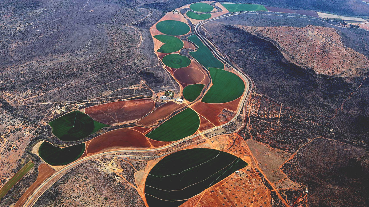
Aerial imagery of a mountainous desert region, overlooking a road through a pass in the mountains

See beyond the human line of sight

Remote sensors capture earth observations about distant places and invisible conditions, from mapping the ocean floor to visualizing climate change.

See what's possible with imagery and ArcGIS

Esri software is backed by 50 years of market leadership in location-based technology. ArcGIS currently powers business intelligence at more than 350,000 enterprise organizations worldwide.

Previous
Next

One solution for local and global challenges

Geospatial technology, inclusive of imagery and GIS, unlocks the potential of remotely sensed data.

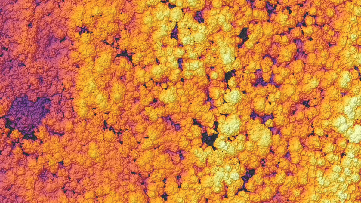
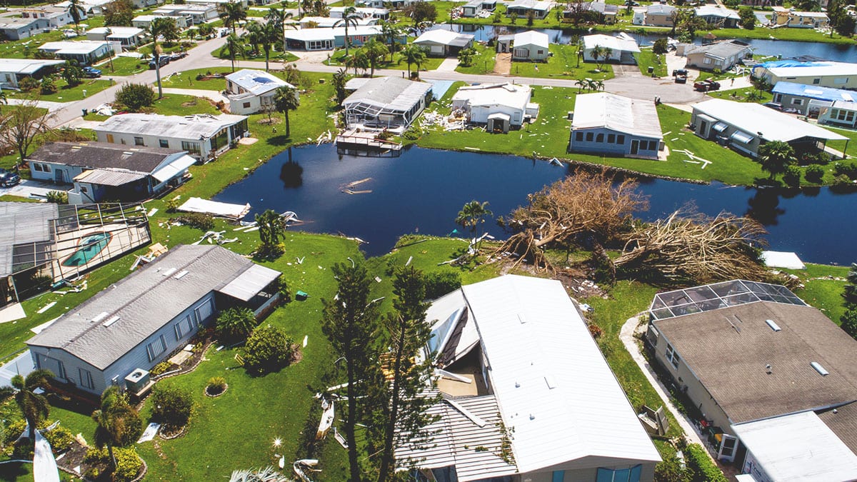
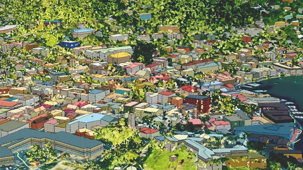
Supports various sensor data sources

Satellite
Crewed aircraft
Drone
Terrestrial
Bathymetry

Transform how you work

CAPABILITY

Content

Explore imagery from an extensive array of authoritative sources, available through ArcGIS Living Atlas of the World and Esri partners. Easily combine sourced imagery with data from your own collections. ArcGIS makes use of content from any type of sensor, in any format or modality.

Explore content capability
Satellite imagery of a green, mountainous coastal region

Flexible deployments

Deploy on desktop workstations, in the cloud, or across your enterprise. ArcGIS offers imagery and remote sensing systems that meet your scalability and security needs.

Previous
Next

Get help finding the right solution

Schedule a conversation with one of Esri’s experienced sales consultants. Discuss how you're using imagery and remote sensing data now and discover where a comprehensive geospatial system can take your work next.