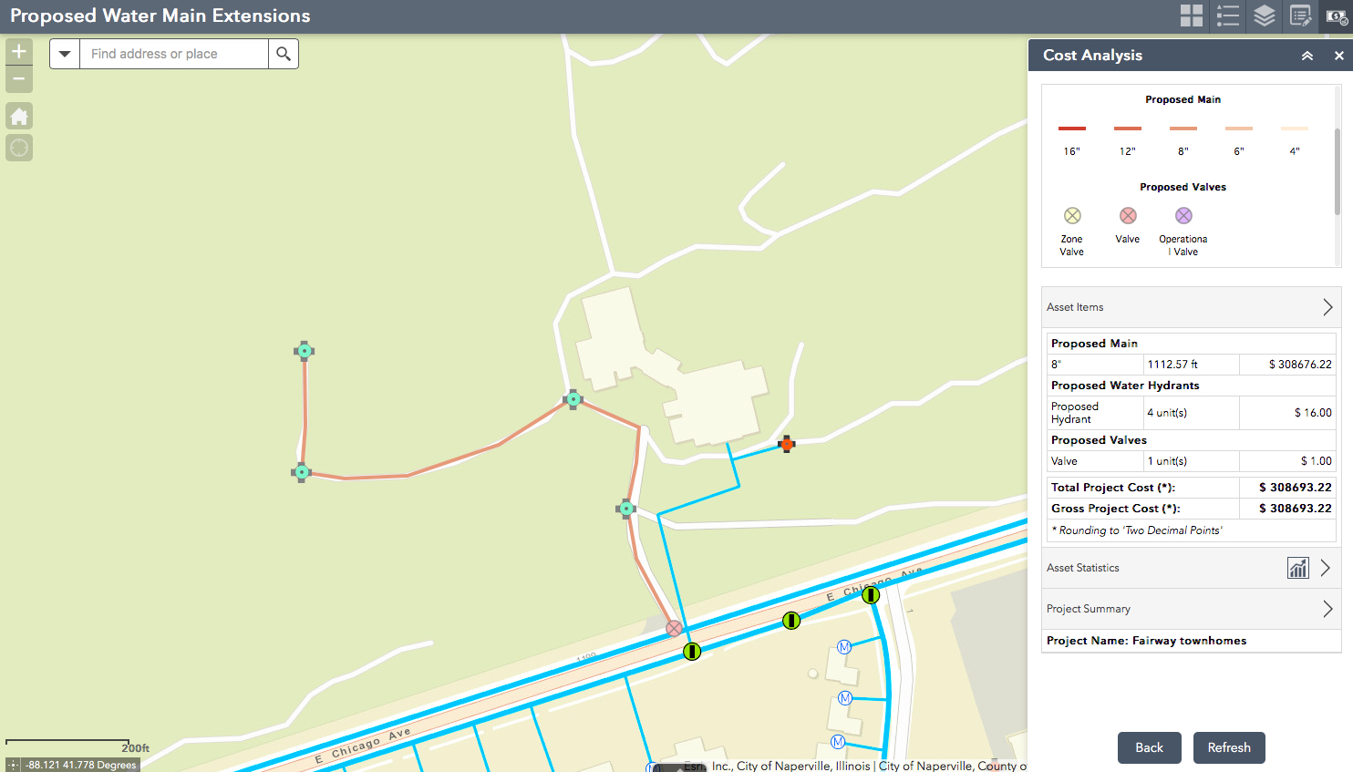
Ever wanted to use a web app to sketch in new infrastructure assets and automatically estimate the cost? Then you’re in luck, because that’s what the Cost Analysis widget available in Web AppBuilder for ArcGIS helps you do!
Overview
The Cost Analysis widget lets users sketch assets on a map and tally costs. So you could sketch new assets that might be constructed, sketch replacement infrastructure or even sketch in temporary asset in new locations for special events and estimate costs. You can also save proposed assets as projects for later use, sharing with others in your organization or further cost analysis.
For example… If you are a sewer utility you could deploy a web app with a map of your existing infrastructure and the Costing Analysis Widget, then share the web app to planners and engineers so they can sketch in new or replacement assets and evaluate costs. If you are a public works organization that has to set up temporary barriers, temporary trash cans and signage to support an event like a community festival, you could use the Cost Analysis widget to figure out placement and associate labor costs.
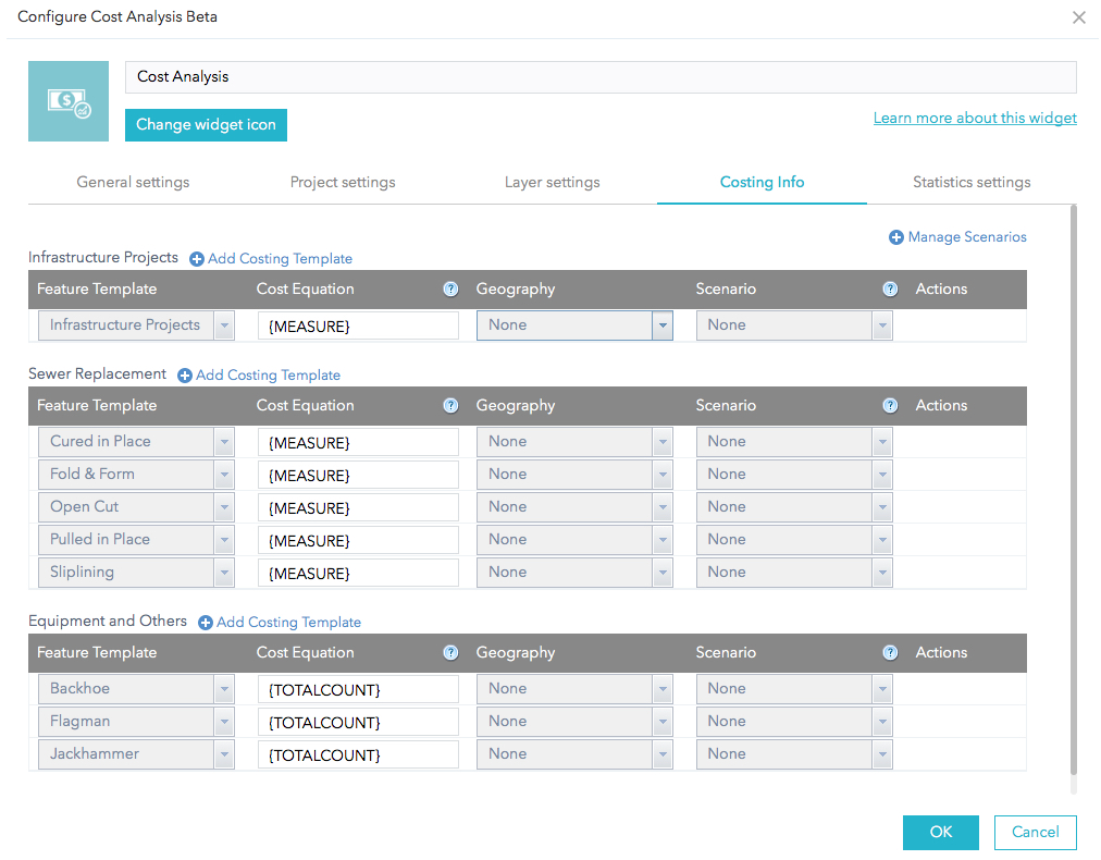
The types of assets that can be sketched on the map and their associated costs are configured during setup. You can define a fixed cost per asset, for example a sewer manhole costs $6,000, or you can use variables like measured length to calculate cost, such as 1 linear foot of 8 inch ductile iron sewer main costs $600.
You can use geography (of course) or scenarios for further automatic cost refinement. The widget includes the option to define costs by different geographic areas. Scenarios let you use a non-spatial variable to influence cost, for example if you are a public works department you can have different costing scenarios for in-house labor and contractor labor.
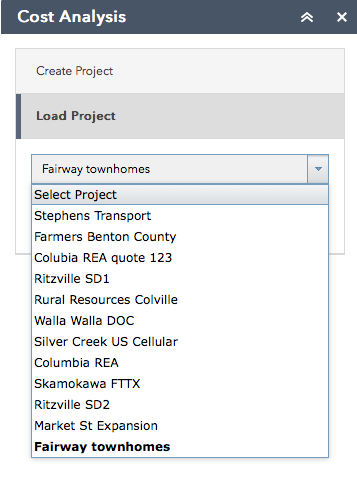
The widget can be used to do both ad-hoc costing that will not persist results after the browser window is closed or sketched assets can be saved into projects for later access or sharing around an organization.
Because the Cost Analysis Widget was generically designed for any type of asset that can be represented as a point, line or polygon and you will need to configure it for the assets that you want need to estimate costs for and their associated cost factors.
If you are a water utility and want a more robust construction cost estimation tool set that includes RSMeans regionalized construction costs be sure to check out Cost Map for Water Utilities from GISinc.


Commenting is not enabled for this article.