Earlier this year, ArcGIS Urban became available on ArcGIS Enterprise with the 11.3 release which means you can now install ArcGIS Urban on-premise in your own environment.
Now with the ArcGIS Enterprise 11.4 release, ArcGIS Urban has even more ways to make your plans and projects come to life in 3D with the ability to design, define, and analyze the spaces between buildings.

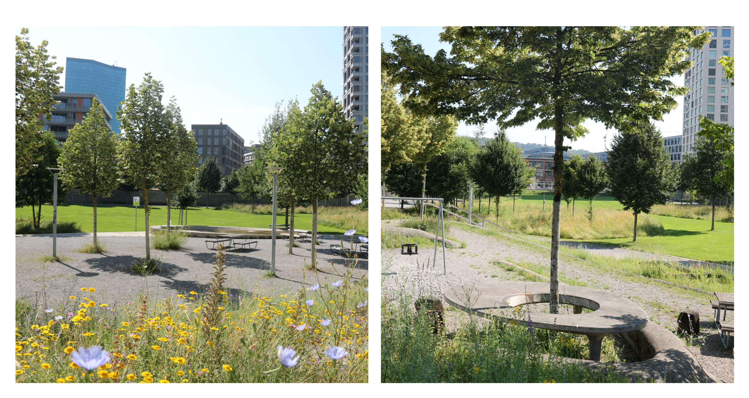
When these new features and enhancements were first introduced in ArcGIS Urban on ArcGIS Online in June 2024, we wanted to show you what it would look like to actually use these tools in the real world. We chose Pfingstweid Park in Zurich, Switzerland, as our example—a park with a rich history of adapting to the community’s changing needs—and redesigned some of its spaces using ArcGIS Urban. We encourage you to check out this blog to see how we did it after this quick breakdown of what’s now available in ArcGIS Urban on Enterprise 11.4.
Make copies of your plans and projects
You can make copies of your plan to share with your coworkers or to keep track of different versions of your models. This also applies to projects.
Map surfaces for parks, plazas, and green space
Planning future development goes beyond the form, function, and placement of buildings. When reimagining a parcel, planners can now create and apply ground coverage using custom space-use types like grass or concrete.
Define surfaces with exact dimensions
Defining spaces with precision is easy with the ability to input the same dimensions as your blueprints and other architectural renderings. This added functionality also applies when sketching new boundaries for study areas, parcels, or zones.
Include elevation to design with the terrain
When planning spaces around buildings, you can now account for the natural contours of the land by adding elevation layers to individual plan scenarios. When you create a new ArcGIS Urban model of your community, you can also set a custom elevation to be automatically included from the start. No matter how many plans you add to your model, they will all automatically include this base elevation.
Understand parcel building and surface metrics
To make smart design choices, you need real data. ArcGIS Urban automatically calculates key metrics for buildings and now surfaces within a parcel, ensuring no double-counting of overlapping spaces. This helps you make sense of the interplay between the built and natural environment.
See it in action
For a practical approach to implementing these features, be sure to check our blog post on designing the spaces between buildings at Pfingstweid Park in Zurich, Switzerland. You can also watch this short video to see these new features in action.
For a complete list of what’s that’s new in ArcGIS Urban on Enterprise 11.4, including known limitations, check out the Release notes.
Learn more about ArcGIS Enterprise
ArcGIS Enterprise brings everything together, offering ArcGIS mapping, visualization, analytics, data management, and a range of applications, all within your private infrastructure. Learn more about the benefits of deploying ArcGIS Urban on ArcGIS Enterprise and the Enterprise 11.4 release.
What’s ahead
The next release of ArcGIS Urban on ArcGIS Online is planned for early December this year and will feature various enhancements to improve how you calculate and analyze metrics related to your plans. You can also expect those changes to be available in ArcGIS Urban for Enterprise 11.5, which is planned to be released in May 2025. Sign up to stay updated on what’s new and how to use it.
This release will also introduce a beta version of ArcGIS Urban – Urban XR, a new capability that transforms your 3D models created in ArcGIS Urban into immersive experiences, no coding or experience with game engines required. Existing ArcGIS Urban customers are invited to sign up for access to this beta version using this form.
Questions? Visit the ArcGIS Urban Community or schedule a demo to learn more about how ArcGIS Urban can help improve your planning workflows.


Article Discussion: