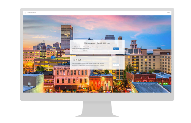
ArcGIS Urban – Urban XR is now available to existing ArcGIS Urban customers through the Early Adopter Program. Sign up today.
3D models have long helped planners visualize the future before it is built. From wooden tabletop models handcrafted at 1:1000 scale, to dynamic digital twins created with 3D GIS, these models have enabled generations of planners to envision the future in a way that aligns with our natural perception of the world.
Creating a digital 3D model of your town, city, or region doesn’t need to be complex. With ArcGIS Urban, simply select your location on a map, provide any relevant data you may have and in a few clicks, you’ll have a schematic 3D model generated using globally available buildings and trees.
Experience your designs firsthand
ArcGIS Urban – Urban XR starts with a tabletop view of your city model, much like a handcrafted wooden model before you. Choose where to focus, with full access to all your city’s plans and projects. Zoom into a specific study area for a ground-level view, explore freely, then teleport to other city areas in seconds to review your next project.
No matter where you are located within the model, a toolkit is available to tailor your experience with the ability to apply weather effects, use spatial analysis tools, and choose a basemap for the right level of context.
Game engine quality, no coding required
Getting started with ArcGIS Urban – Urban XR is simple. No coding or game-engine know-how is required, making it perfect for planners and GIS managers looking to bring the latest tech to their planning departments.
Whether your urban models are in ArcGIS Online or ArcGIS Enterprise, they are streamed straight to the client in real-time. There’s no need for manual data prep or imports; just ensure you have a stable internet connection.
Collaborate with stakeholders in-person and remote
As you conduct a virtual site review or explore a design, capturing specific views or perspectives is as simple as taking a snapshot. These snapshots are organized into guided presentations, allowing your colleagues and stakeholders to explore them independently or with you leading the discussion. These features are experimental and are still being tested.
Try ArcGIS Urban – Urban XR
Excited about ArcGIS Urban – Urban XR? So are we! If you’re a current ArcGIS Urban customer, we’re pleased to share that our Early Adopter Program is now open.
We welcome you to join and get early access to the Urban XR add-on at no cost. If you’re interested, fill out this form and a member of our team will reach out with next steps. For FAQs and additional information, please visit the ArcGIS Urban – Urban XR StoryMap.


Commenting is not enabled for this article.