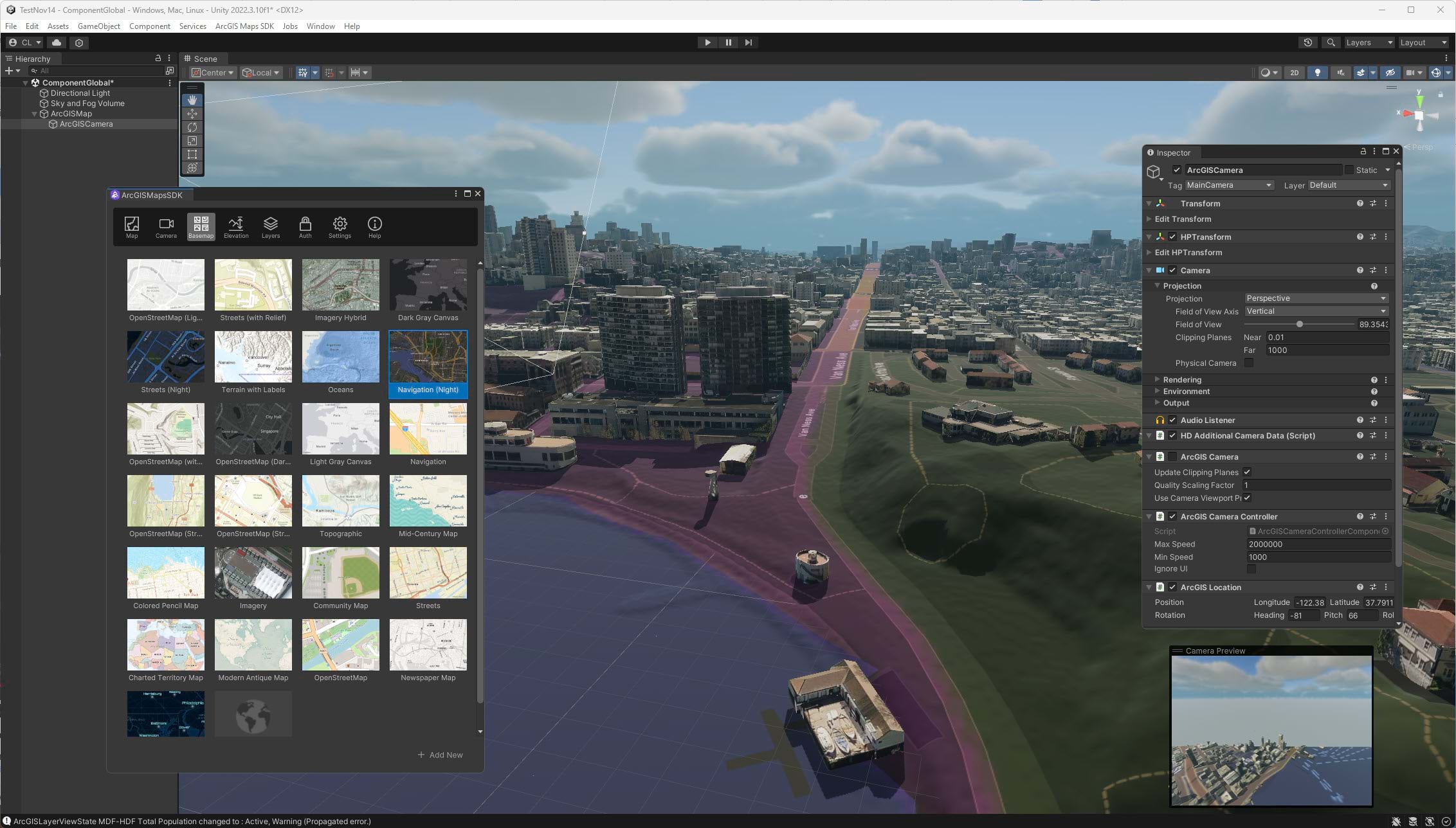
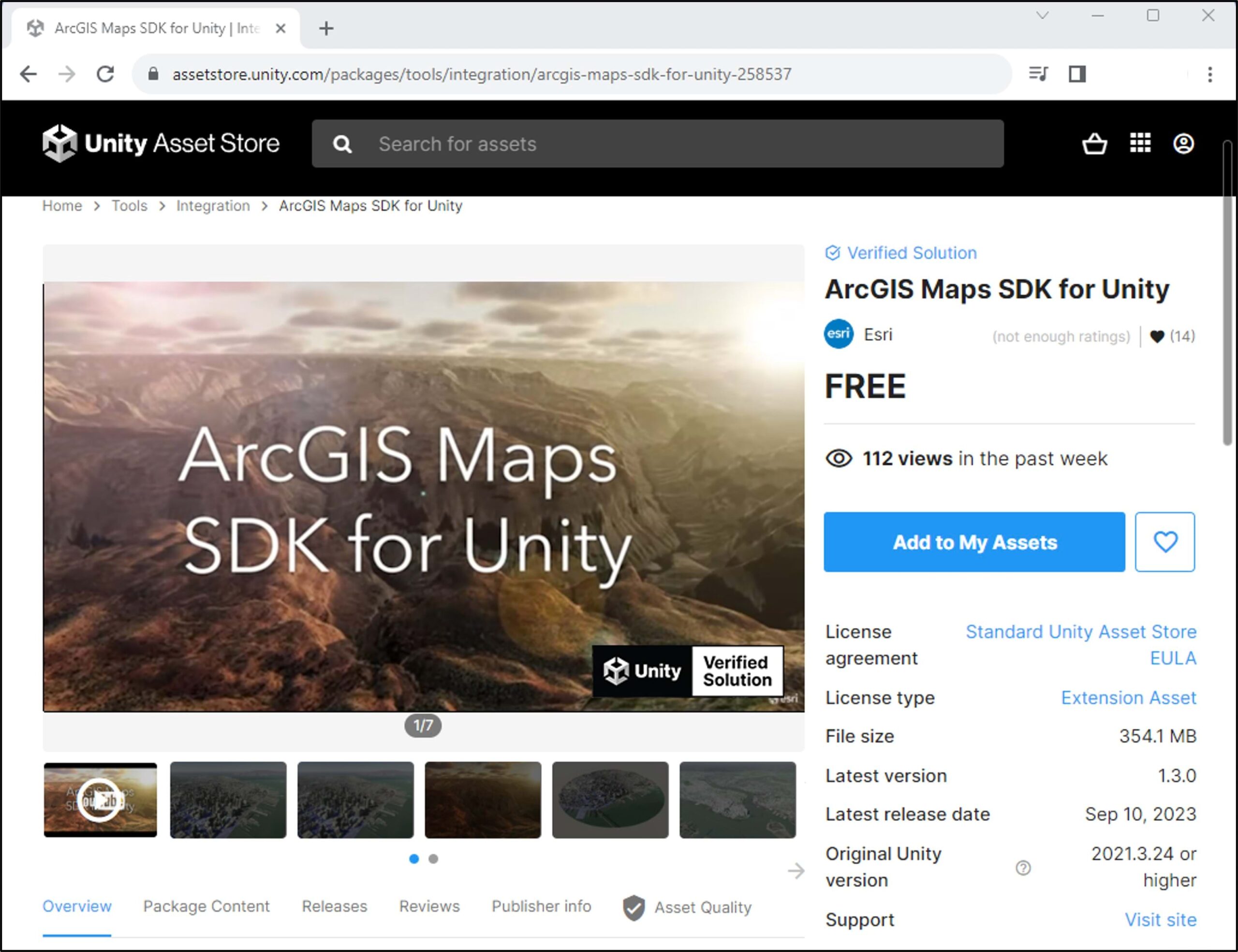
We are pleased to announce that the ArcGIS Maps SDK for Unity plugin is now available for Unity developers through the Unity Asset Store.
Next Generation 3D Geospatial Applications
Today we are witnessing a growing number of organizations seeking to deliver the next generation of 3D GIS solutions. AEC, defense, utilities, natural resources, and other industries are creating 3D client applications that target specific workflows and deliver photo-realistic experiences powered by authoritative, real-world data. These next generation geospatial applications take advantage of high-end graphics capabilities on modern devices to deliver experiences that are highly interactive, responsive, and intuitive. These applications need to run on a variety of device form factors including desktop, mobile, and specialized headsets to power extended reality (AR and VR) workflows. To meet the growing demand for the next generation of 3D GIS applications, in 2023 Esri launched the ArcGIS Maps SDK for Unity.
Leader in real-time 3D visualization
Unity Technologies is a worldwide industry leader in 3D visualization. Unity provides a set of tools to create natural looking and immersive experiences. Combining the realistic interaction models, atmospheric effects, physics, and 3D assets from Unity with authoritative geospatial data from ArcGIS opens a world of possibilities for next-generation 3D applications. Users can now combine photo-realistic terrain and high-fidelity models to build digital twin solutions on an accurate geospatial canvas. Developers can visualize detailed Building Information Model (BIM) data next to realistic 3D asset models of trees, vehicles, and infrastructure. Modeling the movement of data and navigating through a scene is now possible with exceptional performance and a natural fluidity that brings a lifelike experience to real-world GIS datasets. And Unity includes excellent support for XR headsets so developers can build world-scale AR, photo-realistic VR, and virtual tabletop experiences that provide a truly immersive experience for GIS data.

Esri and Unity Technologies began working together early in the development of ArcGIS Maps SDK for Unity. One of the key results of that collaboration has been Unity’s development of the High Precision Framework (HPF) to provide double-precision, geographic coordinate support on a global scale; without it, placing geographic data with the precision that’s required by digital twin applications would not be possible. Also, it’s important to highlight that the ArcGIS Maps SDK for Unity has been reviewed by Unity and received certification as a “Unity Verified Solution”. As a Unity Verified Solution, developers are assured that the ArcGIS Maps SDK for Unity “meets Unity’s highest quality and compatibility standards”.
ArcGIS Maps SDK available in the Unity Asset Store
At Esri we are excited to unlock the power of the Unity real-time 3D platform for our existing customers and to see what the ecosystem of Unity developers will build with the real-world data and location services that ArcGIS delivers. We have now made it easier for established Unity developers to discover, download, and get started with the ArcGIS Maps SDK for Unity by making it available at no cost in the Unity Asset Store. The Unity Asset Store is the one-stop online shop for Unity developers to discover and download assets that assist in building games and applications.
We're incredibly excited about the integration of ArcGIS into Unity technologies, and we're proud to announce that it's now verified on the Unity Asset Store. This collaboration opens up a world of possibilities, bringing the power of location intelligence and spatial data to the forefront of immersive experiences. Together, we're shaping the future of interactive mapping and spatial storytelling, creating new opportunities for innovation and engagement.

Having the ArcGIS Maps SDK in the Unity Asset Store is just another step in making it easier for Unity developers to access the power of the ArcGIS system. The ArcGIS Maps SDK development team is dedicated to providing streamlined access to geospatial data, world-class documentation and samples, and bringing new and exciting features to the game engine developer community.


Article Discussion: