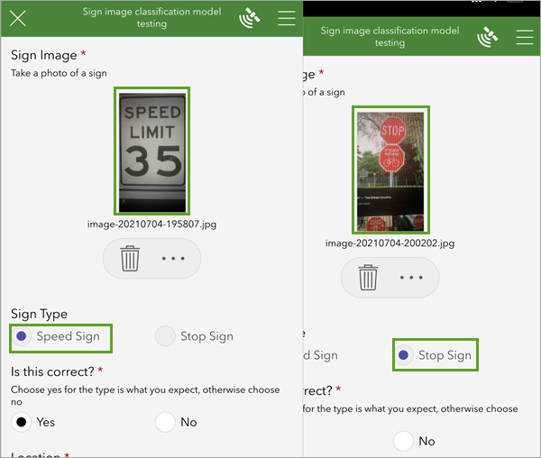
While machine learning tasks in the office may replace some human activities, in the field they more likely will compliment or enhance field work activities. Using the Survey123 smart camera, you can use an image classification model on your mobile device while in the field and even while disconnected from the network. Real time inferences can be used to accelerate field data collection or to provide guidance to field users.
The new Learn ArcGIS lesson, Train a model to identify street signs, shows you how to both create and use an image classification model in the field.
First, you’ll acquire a representative collection of training images captured using Survey123. Next, you’ll use the images to train a model with ArcGIS Notebooks. Once the necessary model files are created, you’ll use them in conjunction with the Survey123 smart camera to test the model’s predictions and classify survey photos.


Article Discussion: