
Using [ArcGIS] StoryMaps for the disaster declaration process provides our community and decision makers with information in an easy-to-read and understandable format.
It was the summer of 2019.

ArcGIS StoryMaps officially made its debut when Jennifer Bell, Esri product manager, brought Mount Everest and National Geographic Society’s Alex Tait’s field work to life—one click and scroll at a time—from the plenary podium at the 2019 Esri User Conference.
Just a state away, Daniel Stoelb had other ideas for Esri’s new location-based storytelling tool – as a disaster response report for the public, local agencies, and the Federal Emergency Management Agency (FEMA). In August 2019, he shared those ideas with the StoryMaps team in this ArcGIS blog post: Communicating emergency management through digital storytelling.
We caught up with Daniel after he published StoryMaps Strengthen Oregon’s Disaster Declarations article, and learned how his disaster response story evolved into a templatized story collection and became part of his GIS emergency management workflow. The following conversation has been edited for brevity and clarity.

Q. It’s great to see you again, Daniel. You’ve been busy! For our readers, can you please share a bit about your agency and position?
Yes, it has been a while since our first chat.
I work for Oregon’s Department of Emergency Management as a GIS program coordinator on disaster preparedness, response, recovery, and mitigation. That hasn’t changed.
But the approach and scope have evolved. Initially, I managed the Real-time Assessment and Planning Tool for Oregon — also known as RAPTOR — and a few applications. Since then, our backend approach, GIS workflow, and systems have grown substantially. And community involvement and multi-agency collaboration have driven innovation and results. Now I manage RAPTOR and the agency’s GIS project development and maintenance. I’m even building our first GIS strategic plan, with a lot of feedback from different teams and the community.
Q. That’s great, and a lot to unpack. Can you first walk us through your workflow? How do you move from an idea to a solution, and then maintenance?
Sure. Actually, this is an area where we’ve made some significant changes.
For years, we managed our projects, data, and workflow through paper documents and various Word and Excel files for years. With a small team that works across agencies, we needed something better.
For us, the “something better” was a combination of ArcGIS Hub sites and web apps like ArcGIS StoryMaps, Survey 123, and QuickCapture.

The RAPTOR mapping application was basically a situational awareness viewer with a few tools. As local needs evolved, we identified authoritative data feeds for information and integrated those into the system. Then we asked, ‘what is it that we’re missing?’ That question initiated a lot of our data collection tools, like our statewide evacuation layer.
It was really a move away from one app to rule them all to very focused bits and pieces of information.
We started building applications based on what specific users needed and wanted to see. With emergency management, different sectors care about specific things, from preparedness to response.
Q. Can you share an example with us?
Sure. Here’s one of our more mature and popular apps for the State Preparedness and Incident Response Equipment (SPIRE) Grant Program.
The SPIRE hub — built with an ArcGIS Hub that houses multiple web applications — is basically a state equipment loan site. As a one-stop shop, communities can share and view information about state-purchased assets and equipment like a generator or drone.

(Explore one of the SPIRE dashboards below. Simply select an equipment item on the left to zoom in for current status, on-site photos, and more. CLICK HERE to open the application in a new window.)
Q. Are those live feeds or static data?
So it’s a combination. We utilize existing data feeds from authoritative sources like Esri and government agencies. And we can create applications with data entry built right in. That information is community-sourced based on needs identified by our planning section.
For example, during wildfire activities in 2021, responders needed information about jet fuel available at airports. So we created a process and simple tool for aviation professionals on the ground to enter that data. It offers a focused and real picture for what’s happening out there.
Q. How does ArcGIS StoryMaps fit into the workflow?
Our initial implementation of ArcGIS StoryMaps for the disaster declaration process has grown into a templated collection of stories, spanning from 2019 to today. Each story utilizes the same branding for consistency and includes consistent information required by FEMA for disaster funding and reporting.

For example, the 2024 Wildfire Spotlight story includes photos and maps, data points, and required narrative to inform the public and guide decision-makers:
- Weather conditions before, during, and after the fire
- Power and communication disruptions
- Damage to infrastructure
- Real images and videos
- Critical metrics and visualizations of those metrics
- Impacts to local and Tribal communities
A few ArcGIS StoryMaps enhancements have supported our efforts. The navigation bar and headers make targeted content easier to find and help officials find the right content, quickly. The embed and other blocks make product and media integration easy for a comprehensive document. And most important to our success, ArcGIS StoryMaps includes a duplicate feature so it’s easy to produce a branded, uniform report in no time at all. And in emergency management, time matters.
Q. So how do you engage the community and decide what to build?
We work directly with agencies or communities to determine their needs, select the right tools, and build solutions to meet and address those needs.

Our damage assessment project is a great example. Many agencies or groups, from FEMA to the state fire marshal, report and track disaster damage. And each reports the damage a little differently.
To collaborate successfully, we needed a consistent GIS solution for all stakeholders. We started with the FEMA individual assistant form, a common denominator. Then we built in customized needs. For damage assessment, the Department of Land Conservation and Development needed floodplain information to assist in the substantial damage assessment process. So we included them in the building process with their own approval workflow.
We set up the system to include two entry and review options for the damages: one for the field, and one for home base, where there are more resources at hand.
In the field, they enter location and capture a few photos through Survey 123. Back at home base, they answer more detailed questions like “what is the property value?” Users simply open the data review dashboard, click on the item in the list, update the item, and hit submit. It’s a nice repeatable pattern using a few web applications, and it’s a repeatable interface for our many GIS applications.

And it allows for the customization needed by each organization. For the stakeholders who need floodplain information, they simply select a property, zoom in, and like magic (only better), the map and report include the floodplain. Technically, the person entering data in the field doesn’t even need the floodplain information. The system handles the specifics through a feature layer.
Q. So your stakeholders can print and share these reports as well?
Yes, we customize and build those options in.
For the disaster reporting application, we created a business component that aligns with the economic injury disaster loan (EIDL) process for our federal partners at the Small Business Administration. I can print just the data from Survey123 via a feature report as needed to help justify the disaster declaration request.
We’ve even built in multiple languages for greater accessibility.
Q. That’s amazing work and customization. How do you keep track of the project work internally?
Well, we’ve developed a pretty standard process that makes project management and collaboration much easier. We first Identify the project requirements using a word document template, which includes:
- Project title
- Responsible section
- Project lead(s)
- Collaborators
- Goal
- Objectives
- Scope
- Authorities
- Background
- Benefits
- Roles and Responsibilities
- Cost implications
- Key performance indicators
- Maintenance plan (deliverables and milestones)
- Program maintenance
- Complexity
- GIS dataset data points/values/descriptions
- Other necessary key functionality
With the form, I add the project into our project management system (currently using Microsoft Planner). It’s been a big improvement over individual files and spreadsheets! In the system, the team tracks progress from start to “finish,” including goals and tasks. Once a project makes it to “finished,” we move it into a standard maintenance cycle tracking, which uses a different column on the Microsoft Planner.
Q. Obviously the infrastructure took years to establish, from internal to external workflows. What kind of feedback have you had?
It really has taken a lot of time and thought. And it’s never really “done.”
From the communities, we’ve heard that it’s saving time and money because there’s no need to procure another system — the systems are meeting their mission. Esri created a nice case study of the challenges, products used, and positive outcomes if anyone wants to read a little more.
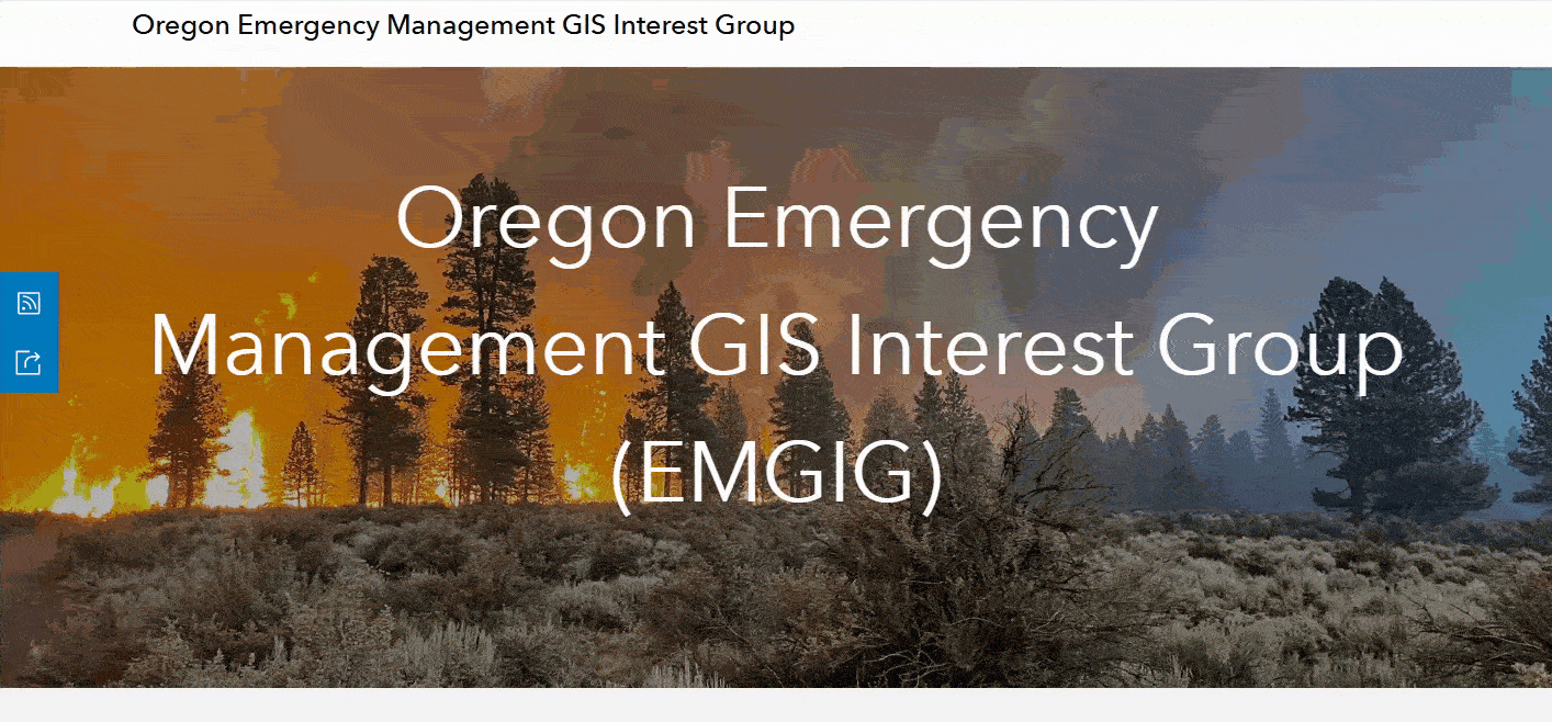
Another great resource is our ArcGIS Hub site for the Oregon Emergency Management GIS Interest Group.
It includes:
- A roster of who’s who — from local and tribal to state, federal, and private sector partners
- A gallery of authoritative data, apps, and other GIS resources
- A calendar and training information, including ArcGIS StoryMaps for instructional materials
- Conversations about GIS topics for emergency managers and stakeholders
- Annual assessments on the use of GIS in emergency management
- And more for both technical and not-so-technical emergency management professionals
The community site and our solution sites follow our approach to GIS integration: use ArcGIS Hub as a container for dashboards, data, stories, surveys, and other GIS tools specific to a disaster management group or task. And encourage community interaction with those tools to build content.
Q. That’s such a great collaboration tool. How do you engage the agency’s communication team in your GIS work?

That’s an important relationship, especially during disaster responses.
I’m on regular team meetings with our public information officers, and I brief them on new tools or solutions. I use my individual social channels and the hub for GIS community building. They use the agency channels for public engagement. And we collaborate on articles and stories.
In the recent ArcGIS StoryMaps for disaster declarations article, our public information officer said:
“StoryMaps have become a vital tool in Oregon’s emergency management strategy, helping justify disaster declarations and foster collaboration across local, state, Tribal and federal partners. As Oregon moves forward with recovery, these StoryMaps continue to inform and engage communities, ensuring that the story of resilience is told accurately and effectively.”
Q. That’s great to hear! So what’s next for you and Oregon’s Department of Emergency Management?
Well, I’m most excited about our first-ever GIS strategic plan.
For years, we’ve been building and maintaining emergency management tools more and more strategically, but in many ways, it’s felt reactive. Now we’re instituting a standard process to GIS solution development and consistency in our approach moving forward — with directed paths forward to integrate all sectors of emergency management.
This featured storyteller interview was prepared as a part of the February 2025 Issue of StoryScape — Plan, respond, and recover with GIS tools.
For more interviews and articles like this one, be sure to check out StoryScape℠, a monthly digital magazine for ArcGIS StoryMaps that explores the world of place-based storytelling — with a new theme every issue.


Commenting is not enabled for this article.