ArcGIS StoryMaps helps you tell remarkable stories with custom maps that inform and inspire. A story can effect change, influence opinion, and create awareness—and maps are an integral part of storytelling. ArcGIS StoryMaps can give your narrative a stronger sense of place, illustrate spatial relationships, and add visual appeal and credibility to your ideas.
ArcGIS StoryMaps is updated regularly, and we have several new enhancements to announce this month.
- Timeline
- Float media blocks on the right or left
- Add Survey123 forms to a collection
- “Powered by ArcGIS StoryMaps” footer removed
- And more…
Timeline
ArcGIS StoryMaps is, of course, a powerful tool for telling place-based stories. But now you can also add a temporal component to your stories with the new timeline block (beta).
You can use timeline to relate up to 20 “events” in chronological order. Each event can have a title, description, plus an accompanying image, if desired. You can also add a spacer between events to indicate a longer passage of time. Watch the video below for a quick look at how to set up and populate a timeline block in the story builder.
A timeline’s events are displayed vertically in one of two layout options—a “waterfall” style with the events centered and stacked on top of each other, or a solid vertical line with the event information off to its right side. In the future, your choice of layouts will be expanded, and we’re also looking at adding timelines to sidecar narrative panels.
The timeline block is surprisingly versatile; the chronology of extensive historical sagas is an obvious use, but it can also be used for shorter durations, like a daily schedule, sequential instructions, such as a recipe, or even things that have nothing to do with time, like a top 10 ranking. For details about timeline and ideas for how to use it creatively see A timely new block in ArcGIS StoryMaps.
Floating media
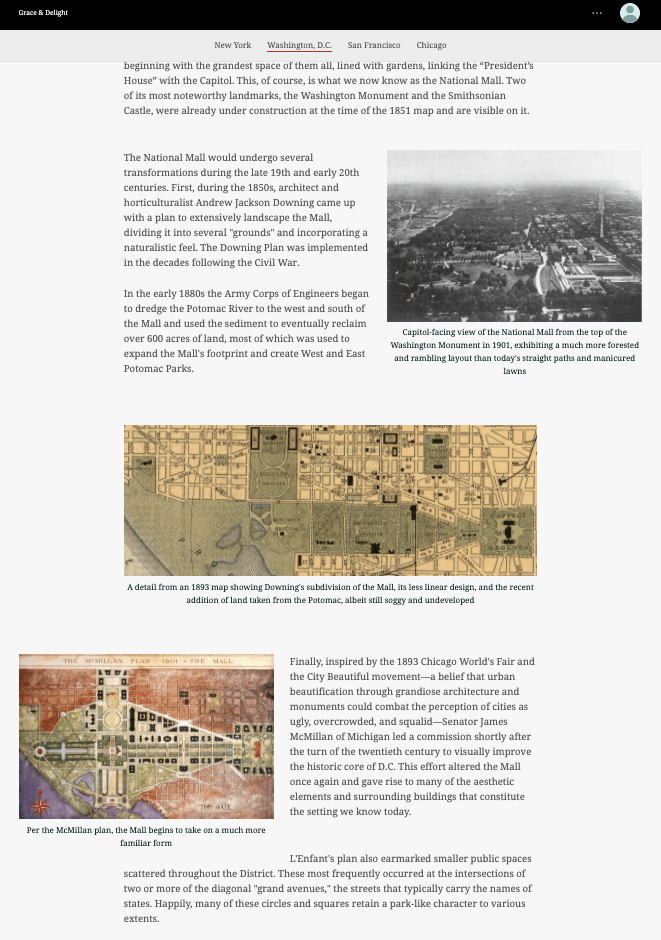
“Floating” describes when a media block is positioned on one side of the page (rather than being centered) with text flowing around it. This arrangement opens up creative options for your content layout, which can help readers stay more engaged with your story.
You can now float media to the left or to the right of the main story narrative. These placement options are available for image, video, map, and audio media. Below is a nice example of alternating the position of images using float right, medium (centered), and float left block positions.

You’ll find the two float placement options, Float left and Float right, on the media toolbar in the story builder. You can use either one for media in new stories, or you can also go back into any stories you’ve already written and swap your floated media to the other side of the page. Here’s a video of this new capability in action.
This is an enhancement that was requested by several members of our storytelling community, many of whom upvoted this idea on the ArcGIS StoryMaps Ideas Board in Esri Community. If you have an idea for a new feature you’d like to see, be sure to post it on the Ideas Board, or upvote an existing idea if someone has already posted something similar to your request.
Include survey forms in a collection
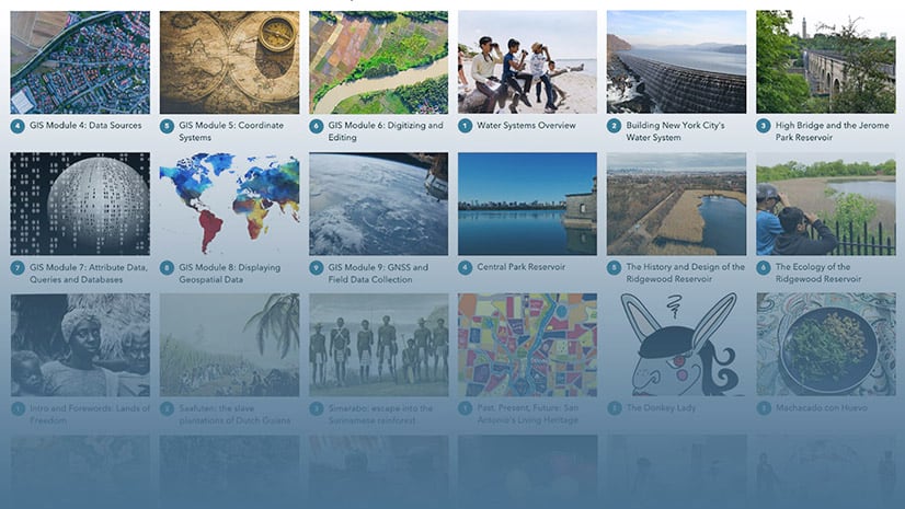
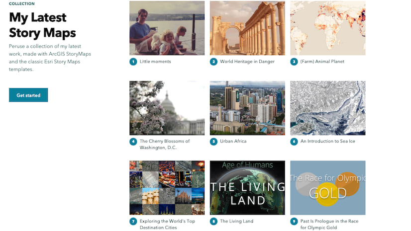
In addition to stories, you could already add many other types of ArcGIS items to a StoryMap collection: web mapping applications, dashboards, web experiences, Insights pages, and Hub site applications. You could also include images and PDFs that you’ve uploaded to your ArcGIS content. Now, survey forms can be added to your collections.
Surveys are a great way to get feedback or input from your audience, and ArcGIS Survey123 makes creating survey forms and analyzing the results a snap. Survey forms are available under the Apps tab when you add items to a collection.
For more information about using collections, see Start your first ArcGIS StoryMaps collection.
And more…
We’ve made several under-the-hood improvements to make your storytelling experience better, and another change to note is that the “Powered by ArcGIS StoryMaps” footer has been removed from all stories.
Check out the release notes for a complete list of updates and fixes.
Thanks to StoryMaps editorial team member Will Hackney for his contributions to this post
Banner photo by ian dooley on Unsplash


Article Discussion: