Are you a drone professional or part of an organization looking to implement a drone program to enhance your operations? Whether you’re in AEC, utilities, oil & gas, mining or any other industry, this guide will provide valuable insights into the essential steps for launching a successful drone program. By reading on, you’ll learn how to strategically plan, invest, and comply with regulations to maximize the benefits of drone technology.
We hosted a highly informative webinar featuring drone industry experts who shared insights on starting and enhancing drone operations. They covered everything from the basics of drone technology to operational tactics, including the latest trends and innovations in the field.
Now, let’s dive into the steps to make your drone program a success.

Imagine the power of gaining a bird’s-eye view of your operations with just a few clicks. Drones have revolutionized industries across the globe, offering great insights. Launching a successful drone program, however, requires more than just buying advanced equipment; it demands careful planning, strategic investment, and a deep understanding of regulations. This blog will walk you through the steps to help make your drone program a success.
Defining Use Cases and Deliverables
Before you can take off, you need to know where you’re going. Defining use cases and deliverables is essential for your program’s success. Identify the business challenges or opportunities that drones can address, such as enhancing operational efficiency, improving safety, or reducing costs. Clearly outline these use cases to ensure your drone program is focused and impactful as this will help you to define your scope of work and budget needs to propose to your organization.
For example, in agriculture, drones can help monitor crop health and soil conditions, leading to more efficient use of resources. In construction, drones can provide detailed site surveys and progress reports, improving project management. Detail the tangible results you aim to achieve, such as detailed maps, 3D models, or insightful data analyses. Collaborate with stakeholders to ensure everyone is aligned with the program’s goals and expected outcomes.
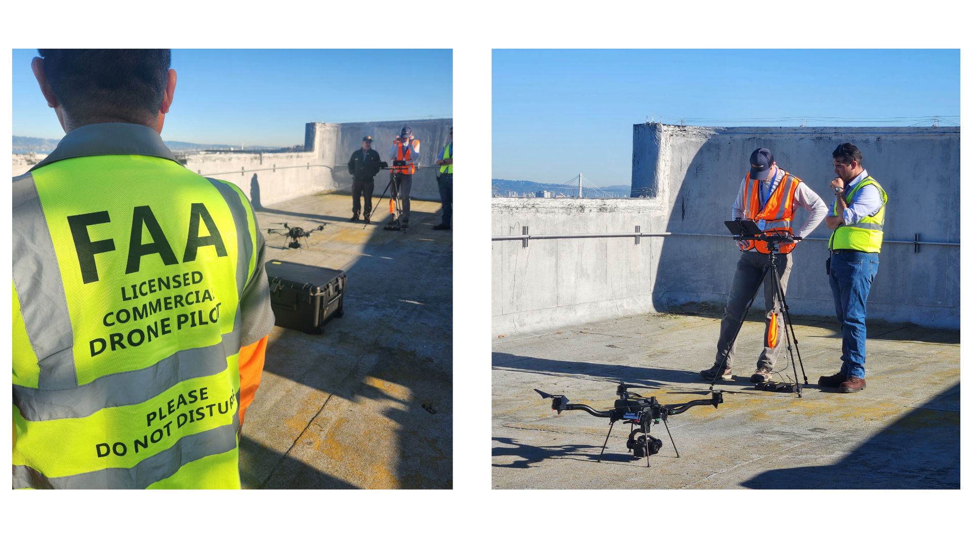
Check out how Salt Lake Municipal Services District identified use cases for their drone program
Budget and Personnel
A successful drone program starts with a solid foundation: understanding and allocating the necessary budget and personnel. Careful financial planning is crucial to ensure you have the resources to get started and keep your program running smoothly. Based on your defined use cases and deliverables, allocate a specific budget for both the initial setup and ongoing operations. Identify key personnel within your organization who can be trained as drone pilots, data analysts, and project managers as training costs will have an impact on your budget. These individuals will be the backbone of your drone program, so choose them wisely. Establish clear policies and procedures for safety and compliance, including guidelines on drone usage, maintenance, data handling, and regulatory compliance. This will help ensure that everyone is on the same page and that your program runs smoothly from the start.
If you watch the webinar we mentioned at the start of this blog, one of the presenters James Burton, gives a great overview on how they broke down their budget at the 25 minute mark.
Navigating Regulations and Compliance
Adhering to legal and safety standards is critical. Drones are powerful tools, but they come with a set of rules and regulations that must be followed to ensure safety and legality. Understand and follow local, state, and federal regulations governing drone operations. Secure necessary permits, licenses, and certifications. Establish robust safety protocols and procedures for compliance and risk mitigation. Stay up-to-date on regulations to ensure your program operates legally and maintains high safety and credibility standards.
A valuable resource to use is Esri partner Airspace Link’s b4ufly services. This tool will help you understand restricted airspace information as you plan your flights.
Training and Operational Protocols
A well-trained team is the key to a successful drone program. Develop a comprehensive training curriculum that covers safety, flight techniques, data collection, and regulatory compliance. Ensure all team members are well-versed in these areas to minimize errors and maximize the effectiveness of your drone operations. Regular training sessions and refresher courses can help keep your team up-to-date and proficient.
One of the training services you can use to train your drone team is Drone U. They were one of the industry experts who spoke at our webinar last year and offer a wide range of training courses to help your drone pilots become pros. However, this is not the only option available, and you may want to explore other providers to find the best fit for your team.

Selecting the Right Technology and Equipment
Choosing the right technology and equipment is like picking the right tools for a job. Define the type of data you aim to collect and consider the desired accuracy and resolution. Research and compare various payload capacities, flight times, and camera quality. Evaluate software and data processing tools to ensure they meet your program’s needs. The right technology and equipment will greatly influence your program’s success. Most drones come with their own flight planning tools, but you may want to consider whether there is a direct connection from the drone to your drone mapping software. Make sure to reference your use cases and deliverables research to ensure the hardware you’re purchasing will be able to capture the data you need.
Esri has a few software applications for your drone mapping program:
- ArcGIS Flight is an iOS flight planning application for drone data capture, providing tools for planning and performing drone flights efficiently. View this Esri community article to see what drones work with ArcGIS Flight.
- ArcGIS Reality is a suite of photogrammetry software products designed to enable reality capture workflows for sites, cities, and countries. Within the ArcGIS Reality suite we have different software applications for drone mapping that can scale to meet your business needs.
- Site Scan for ArcGIS is our cloud-based drone mapping software that allows you to process large volumes of drone imagery faster. Quickly create and share 2D and 3D maps and models within your organization. Collaborate easily in a connected online environment and manage your data without expensive infrastructure. If you are using a drone that works with ArcGIS Flight you can also take advantage of Site Scan’s fleet management capabilities that automatically keeps track of pilot certifications, drone flights, and drone hardware.
- ArcGIS Drone2Map is our desktop drone mapping application that allows you to process drone imagery while offline or in the field. Turn recently collected drone images into 2D and 3D models, even offline. When you’re back in the office, simply connect to your ArcGIS organization to share products quickly across teams. Data captured with ArcGIS Flight or other drone capture applications can easily be uploaded into your organization to be processed in Drone2Map.
- ArcGIS Reality for ArcGIS Pro is our reality mapping extension within ArcGIS Pro that processes large area datasets from drones, crewed aircraft, or satellites. This is built for GIS users needing to process and integrate large area drone datasets within ArcGIS Pro. Data captured with ArcGIS Flight or other drone capture applications can easily be uploaded into your organization to be processed in Reality for ArcGIS Pro.
Demonstrating ROI and Program Benefits
One of the most important aspects of any new initiative is demonstrating its value. Implementing a drone program can revolutionize operations and deliver substantial financial and operational benefits. Drones can significantly reduce costs compared to traditional methods and streamline operations by providing real-time, accurate data.
Real-world case studies highlight the tangible value of drone usage in various industries. For instance, a construction company might use drones to reduce the time and cost of site surveys, while an AEC or utilities business might use drones to optimize crop management. Track improvements in productivity, decision-making, and overall operational results to measure and communicate the return on investment (ROI). Establish key performance indicators (KPIs) that align with your strategic goals and regularly assess the program’s contributions.

You’re Ready for Take-Off!
Launching a successful drone program is a journey that requires strategic planning and execution. By focusing on budget, personnel, technology, compliance, and data management, organizations can harness the full potential of drones to achieve their objectives. Continuous learning and adaptation are key to staying ahead in this dynamic field. Fly safe and make the most of your drone program!
Stay Connected
Stay connected with the team to learn more about our Reality Mapping products. Please share your ideas and questions in the ArcGIS Reality community pages.


Commenting is not enabled for this article.