During the January 2019 ArcGIS Solutions Release 5 new templates were added to ArcGIS, 30 templates were updated, and 20 templates changed lifecycle phase.
ArcGIS Solutions are a collection of templates that configure ArcGIS for industry-specific capabilities and apps. ArcGIS Solutions are available to ArcGIS users at no additional cost and are fully supported.
New Version of the Solutions Deployment Tool
The ArcGIS Solutions Deployment Tool enables you to deploy a catalog of ArcGIS Solution from within ArcGIS Pro.
The latest updated to the Solution Deployment Tool brings the capability to deploy templates that use feature layers created from a join.
If you had a previous version of the Solutions Deployment Tool installed, you must download and reinstall it to get this new capability.
New Solution Templates
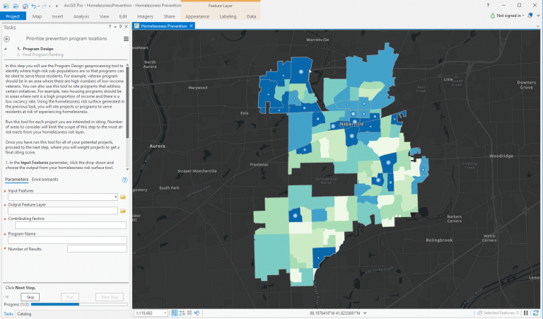
Homeless Risk Reduction helps communities understand areas at risk for generating homelessness and how to prioritize and site intervention programs.
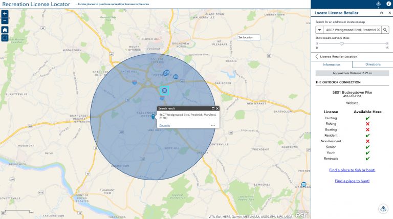
Recreation License Locator assists boaters, anglers, and hunters to locate license or permit retailers and find information about rules and regulations.
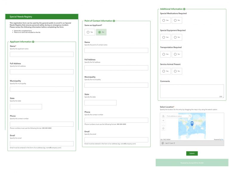
Special Needs Registry enables individuals with specials needs to register to receive additional assistance during a disaster or emergency event.
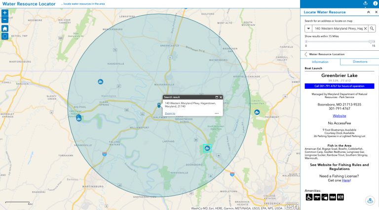
Water Resource Locator assists the public to locate boat ramps and associated amenity information.
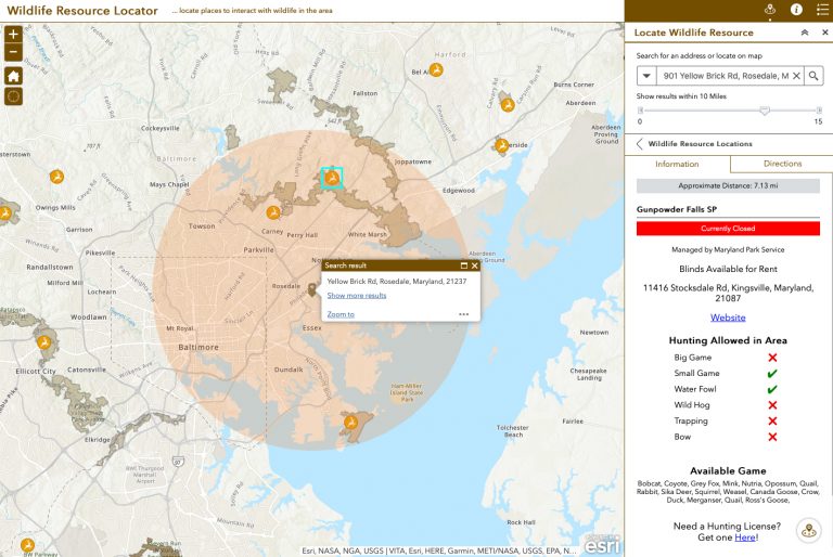
Wildlife Resource Locator assists the public to locate wildlife conservation or recreation areas and find amenity information.
Updated Solution Templates
- Blight Status Dashboard
- Citizen Problem Reporter
- Common Operational Picture
- Coordinate Conversion
- Damage Assessment
- Distance and Direction
- Emergency Management Maps
- Incident Briefing
- Incident Status Dashboard
- Floodplain Inquiry (ArcGIS Solutions for Local Government)
- Homeless Point-in-Time Count
- Local Government 3D Basemaps
- Logistics Planning
- Military Symbol Editor
- Military Symbology Styles
- Military Tools for ArcGIS
- My Tax Distribution
- Neighborhood Early Warning
- Operations Response
- Performance Management
- Photo Survey
- Property Condition Survey
- Public Information
- Shelter Locator
- Situational Awareness Viewer
- SnowCOP
- Tax Parcel Viewer
- Visibility
- Visibility Assessment
- Wildlife Photo Survey
Template Lifecycle Changes
ArcGIS Solutions for Parks and Gardens templates moved to the Mature Lifecycle Phase.
Emergency Assistance moved to the Mature Lifecycle Phase. Capabilities replaced by Special Needs Registry
Floodplain Inquiry (ArcGIS Solutions for Emergency Management) moved to the Mature Lifecycle Phase.
Hunting License Locator moved to the Mature Lifecycle Phase. Capabilities replaced by Recreation License Locator.
Water Access Locator moved to the Mature Lifecycle Phase. Capabilities replaced by Water Resource Locator
Wildlife Management Area Locator moved to the Mature Lifecycle Phase. Capabilities replaced by Wildlife Resource Locator.

Commenting is not enabled for this article.