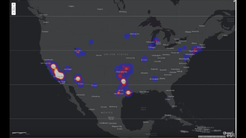
ArcGIS Pro includes 70+ geoprocessing tools that support parallel processing on your desktop machine. Parallel processing leverages your machine’s computational resources to achieve faster performance and better scalability. This is accomplished by splitting up a big processing job into smaller processing tasks that can be processed in parallel. Learn more about parallel geoprocessing here.
In the ArcGIS Pro 2.4 release, we’ve added a new toolbox, GeoAnalytics Desktop Tools, with even more parallel processing tools! These tools run analysis backed by Apache Spark on your laptop or desktop running ArcGIS Pro. Parallel processing using Spark is ready to go when you open ArcGIS Pro, and no additional installations are needed! The GeoAnalytics Desktop Tools toolbox contains 15 tools in 2.4, and the development team will be adding more tools and functionality with each release. Note: you will need an ArcGIS Pro Advanced license (or a GIS Professional Advanced) to access these tools.
GeoAnalytics Server was released in ArcGIS Enterprise 10.5, and since that first release, has steadily gained additional tools and algorithms to help you analyze, manage, and explore big data. Now, the same algorithms available in GeoAnalytics Server are available in ArcGIS Pro.
This means that you can now access powerful GeoAnalytics functionality in two ways:
- GeoAnalytics Server tools – distributed processing across multiple server cores and machines with ArcGIS Enterprise
- GeoAnalytics Desktop tools – parallel processing across multiple cores on your laptop or desktop running ArcGIS Pro
GeoAnalytics Desktop tools do not replace GeoAnalytics Server tools. But how do you know which is the best for you?
Use GeoAnalytics Server when you want to:
- Bring big data analysis to your entire organization
- Leverage the computational power of one or multiple server machines
- Connect to external big data storage and existing web layers
- Extend distributed processing using custom analysis
- Access GeoAnalytics analysis tools using different clients: a web browser, ArcGIS Pro and through REST
Use GeoAnalytics Desktop Tools when you want to:
- Process big local data (from file and enterprise geodatabases and shapefiles) faster than before on your own desktop machine
- Prototype workflows you want to use with GeoAnalytics Server
- Integrate a temporal component into your existing spatial analysis done on desktop
The following table outlines more technical details on when to use one or the other.
| GeoAnalytics Desktop Tools | GeoAnalytics Server Tools | |
| Input Data | Local to your desktop:
· Shapefiles |
Available to your server:
· Big data file shares which support registered folder shares ( consisting of delimited files, shapefiles, parquet or ORC), Cloud Stores, HDFS, and Hive |
| Output Data | Stored locally in a geodatabase, shapefile or CSV | Stored in:
· ArcGIS Enterprise as hosted layers |
| Scaling Analysis | · Single ArcGIS Pro desktop machine · Processing resources controlled by Parallel Processing Factor geoprocessing environment |
· Up to 3 server machines · Processing resources controlled by Server Administrator settings |
| Number of Tools | 15 (and growing)
There are a few tools in GeoAnalytics Server that will be added to GeoAnalytics Desktop in the near term. |
26 (and growing) |
| Scripting and Developing | Accessed through Arcpy, the same as all other desktop geoprocessing tools. | · Available through ArcPy · ArcGIS API for Python arcgis.geoanalytics module · Customize distributed analysis with Run Python Script |
| Installation and Licensing | ArcGIS Pro with an Advanced license (2.4 and up) | · ArcGIS Enterprise Base Deployment · ArcGIS Server licensed as a GeoAnalytics Server (1 or 3 machines) · ArcGIS Data Store configured as a spatiotemporal big data store |
| How to Run Analysis | · GeoAnalytics Desktop toolbox in ArcGIS Pro and ArcPy | · GeoAnalytics Server toolbox in ArcGIS Pro and ArcPy · Enterprise portal Map Viewer · ArcGIS REST API · ArcGIS API for Python |
Similar to other analysis you’re familiar with, processing time varies by tool and parameter complexity, as well as data factors such as data distribution and extent. There isn’t a set number of features or size of data that constitutes “big data”. Generally, we expect GeoAnalytics Desktop Tools to scale to the 10s of millions. For simpler tools, such as Aggregate Points, GeoAnalytics Desktop in Pro can scale beyond this size. More complex algorithms, like Find Point Clusters will support a few million to 10s of millions. If datasets are larger, we recommend GeoAnalytics Server which offers more control of the amount of resources allocated to analysis.
We can’t wait to learn more about how you are using GeoAnalytics Desktop tools and GeoAnalytics Server tools to answer questions that matter to you and your organization.
For questions, comments and product needs for GeoAnalytics, please contact GeoAnalytics@esri.com. This feedback on your data and analysis needs will help us prioritize new tools and functionality as we continually develop GeoAnalytics.


Commenting is not enabled for this article.